
Map · 20 places
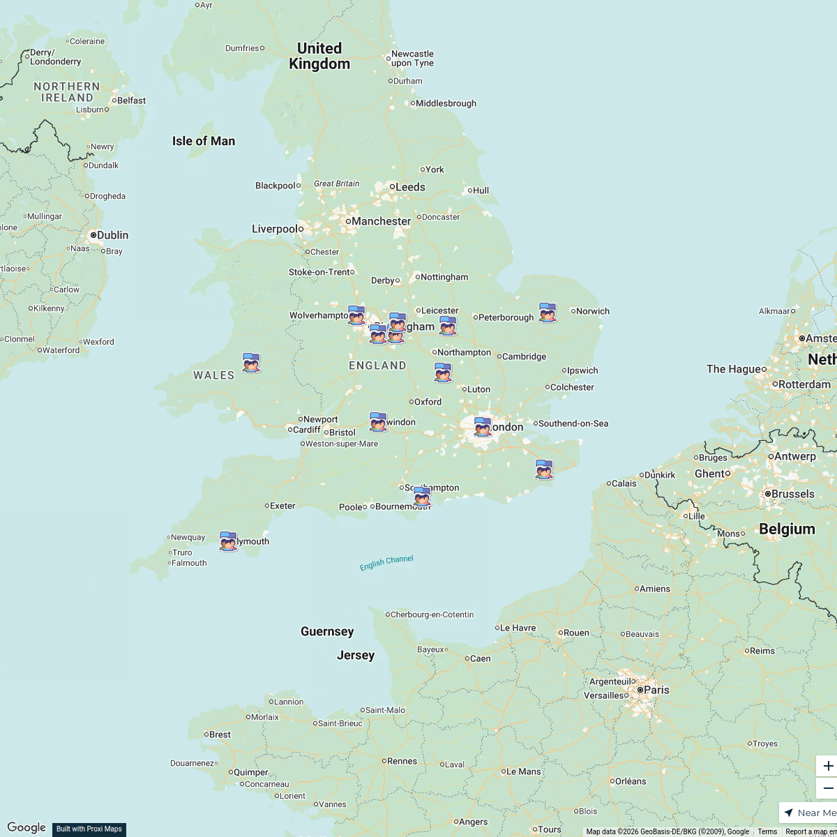
Kent District Councils Map
A detailed map showcasing the various District Councils across Kent, UK. This map highlights the geographical boundaries and locations of each council, providing an overview of local governance in the region.
Made with ProxiUpdated Jan 2025
- Local Government 11
- Community Resources 3
- District Councils 3
- Administrative Boundaries 2
- Public Services 1
Places on This Map
20 places · 5 groupsNearby Maps
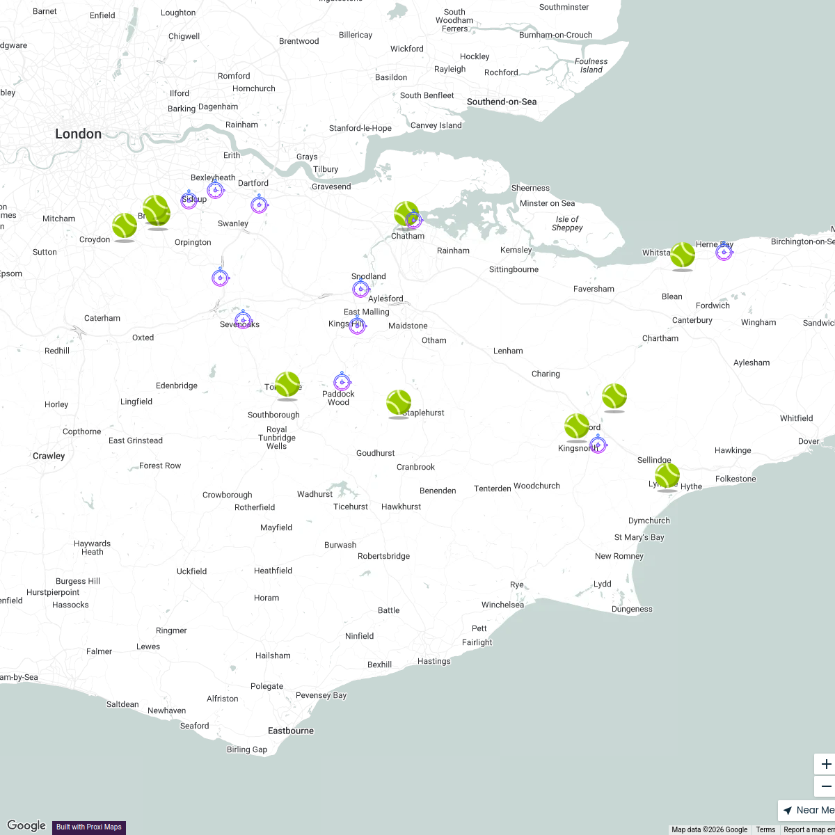
Kent Padel Courts
22 stops Darren Lock's Workspace
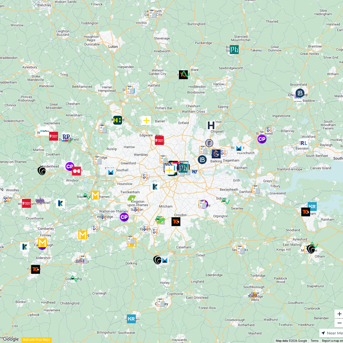
Accounting Firms in London
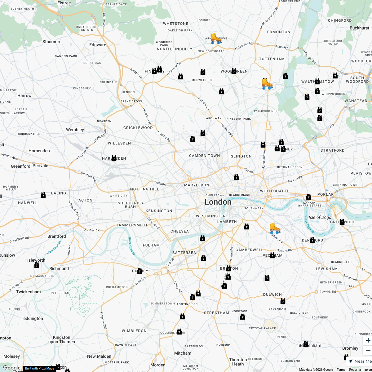
165 stops · London, UKmax.caster's WorkspaceLondon Roller Derby
76 stopskatylw123's WorkspaceFlexi
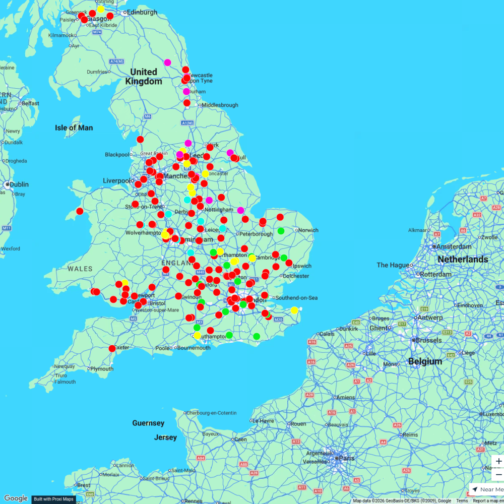
188 stopsp.grant's WorkspaceYouth Council Member Locations
13 stopsashley.fontaine's WorkspaceTravel Kitchen's Food Map
21 stopsh.bellenie's Workspace
This map was made with Proxi
Have a main street, a market, or a story worth walking? Make your own map in a few minutes.