
Map · 12 places
Population Distribution in Saskatchewan
This map highlights the population distribution across Saskatchewan, Canada, showcasing areas of high and low population density. It serves as a visual guide for understanding demographic trends and settlement patterns within the province.
Made with ProxiUpdated Jan 2025
- Census Divisions 7
- Rural Areas 2
- Geographic Features 1
- Population Density 1
- Urban Areas 1
Places on This Map
12 places · 5 groupsNearby Maps
Our Participants
116 stops Future Scholar Foundation's Workspace
Community Map
Saskatoon Exam Locations
6 stops · Saskatoon, SK, CanadaShared by the Proxi community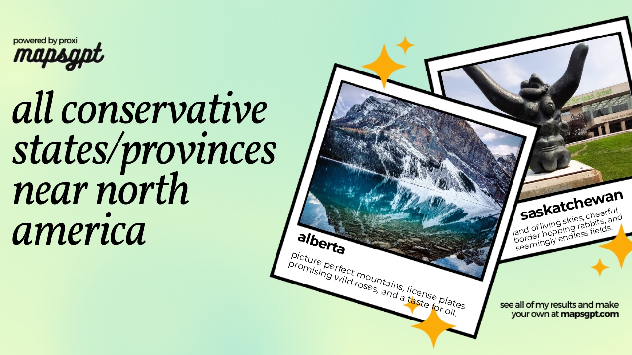 Community Map
All conservative states/provinces near North America
14 stops · North AmericaShared by the Proxi communityCommunity Map
Canada Overview
8 stops · CanadaShared by the Proxi communityCommunity Map
Alien Big Cats Sightings in Canada
9 stops · CanadaShared by the Proxi communityCommunity Map
Geological Wonders of Canada
15 stops · CanadaShared by the Proxi community
This map was made with Proxi
Have a main street, a market, or a story worth walking? Make your own map in a few minutes.