
Map · 16 places
Gippsland Agriculture Map
A detailed map showcasing the primary agricultural industries in the Gippsland region of Victoria, Australia. This map highlights key agricultural areas, farm types, and related infrastructure.
Made with ProxiUpdated Jan 2025
- Dairy Farms 4
- Agricultural Research Centers 3
- Farmers Markets 2
- Irrigation Infrastructure 2
- Livestock 2
- Vineyards 2
- Fruit Orchards 1
Places on This Map
16 places · 7 groupsNearby Maps
E4 Job Locations in Australia - Aged Care + Remote
97 stops · Australia Stephen Poleweski's Workspace
Community Map
Maffra Map
19 stops · Maffra VIC, AustraliaShared by the Proxi communityCommunity Map
Melbourne Construction Sites
25 stops · Melbourne VIC, AustraliaShared by the Proxi community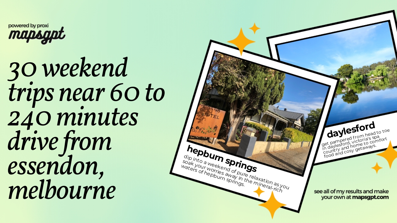 Community Map
30 weekend trips near 60 to 240 minutes drive from Essendon, Melbourne
27 stops · Essendon VIC 3040, AustraliaShared by the Proxi communityCommunity Map
Canberra and Surrounding Regions
10 stopsShared by the Proxi communityCommunity Map
Canberra ACT Schools Map
23 stopsShared by the Proxi community
This map was made with Proxi
Have a main street, a market, or a story worth walking? Make your own map in a few minutes.