
Map · 21 places
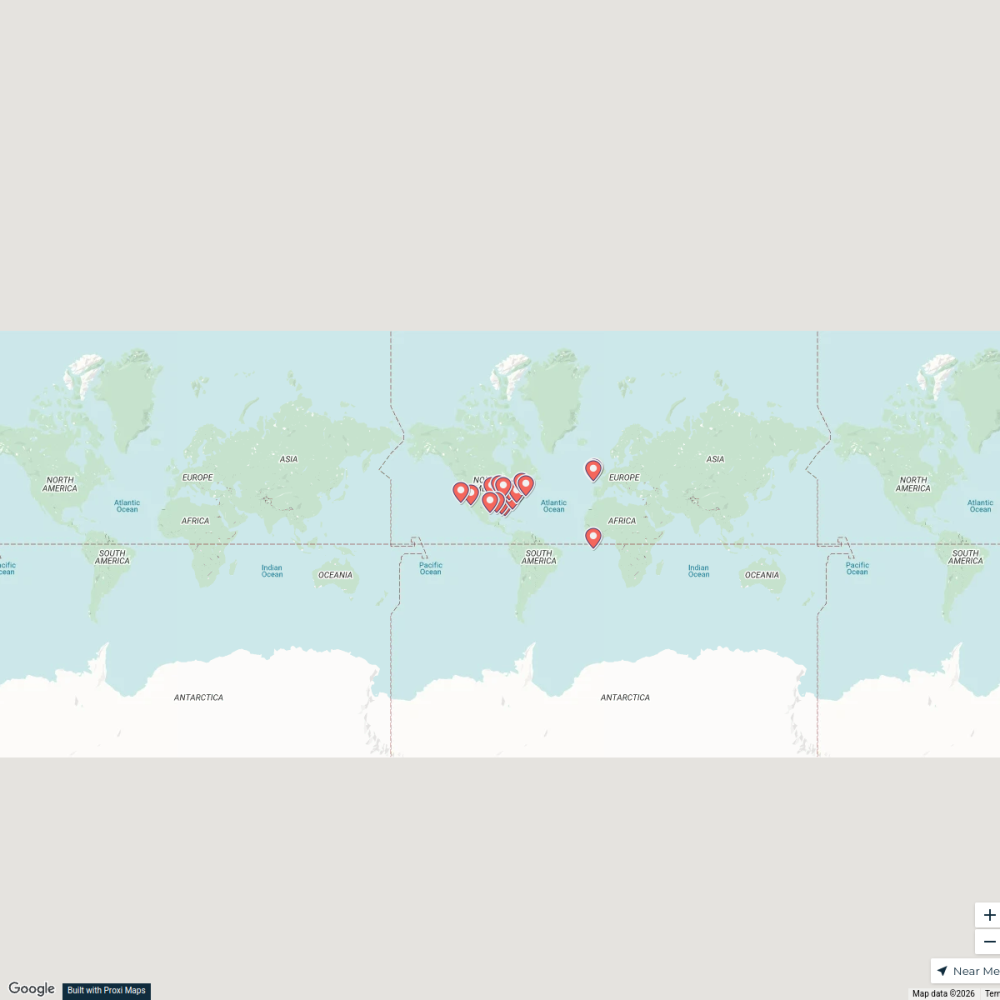
Beaver UT Recreation Map
A detailed map highlighting recreational areas, parks, and outdoor activities near the I-15 corridor in Beaver, Utah. This map focuses on accessible outdoor experiences for locals and visitors alike.
Made with ProxiUpdated Jan 2025
- Parks 6
- Camping Sites 4
- Hiking Trails 3
- Ski Areas 3
- Fishing Locations 2
- Nature Reserves 2
- Recreational Facilities 1
Places on This Map
21 places · 7 groupsNearby Maps
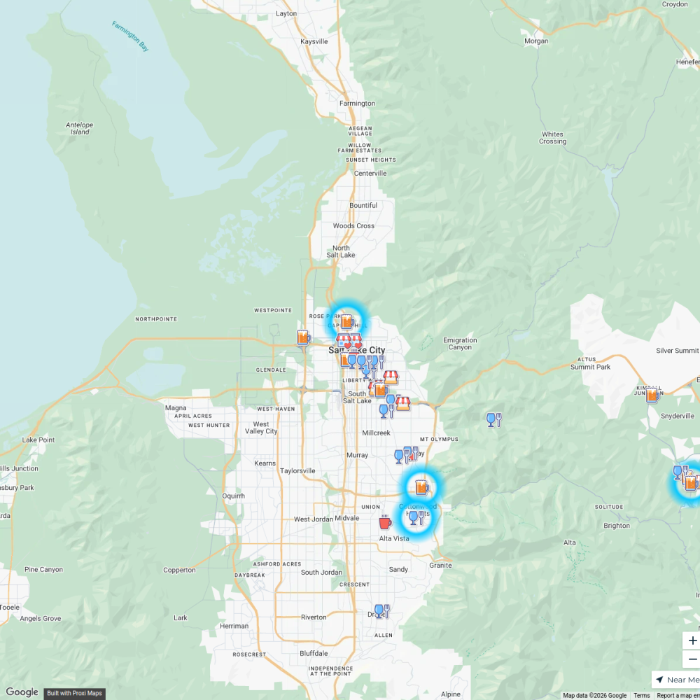
Dog Friendly Guide UTAH
49 stops · Salt Lake City, UT, USA Madi Clark's Workspace
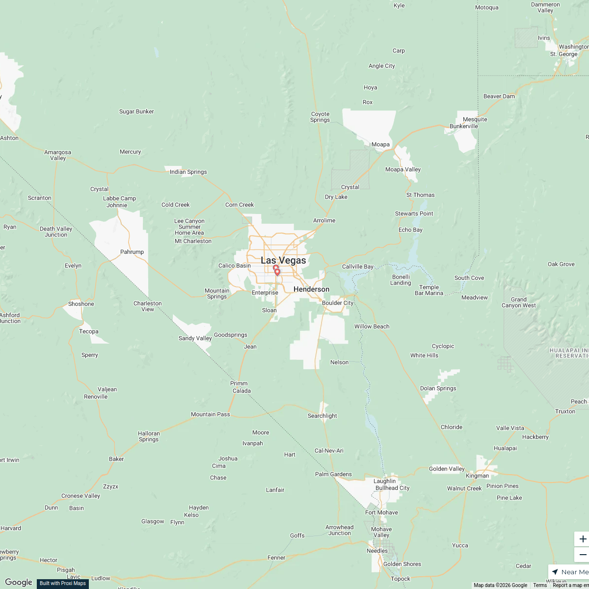
Vegas to Salt Lake City Route
8 stops Summer Landreth's Workspace
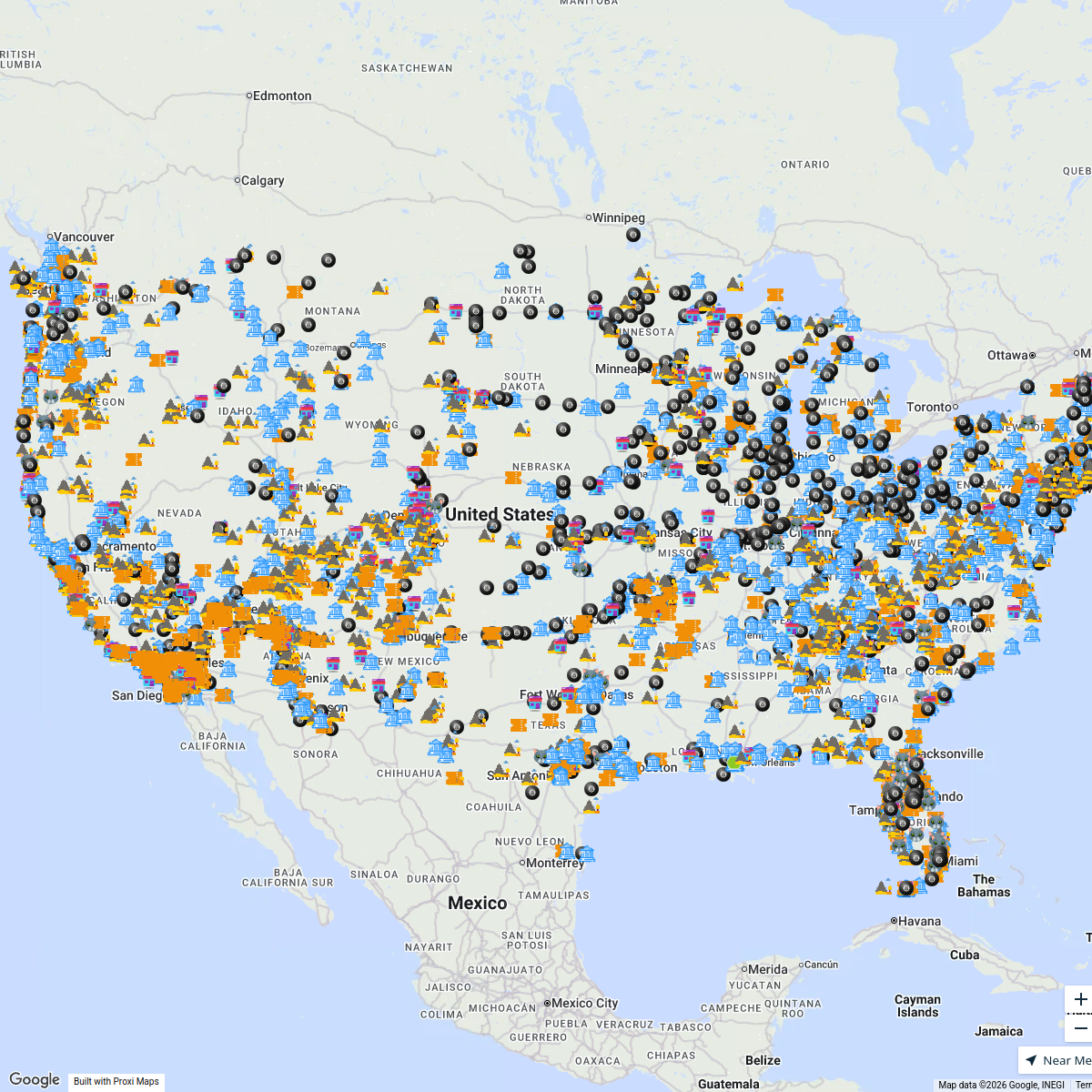
After tapping CLICK TO INTERACT ...
4353 stopsBucketlist NavigatorMy Proxi Map
37 stops · Greenville, SC, USA GVLtoday
Community Map
The town is composed of 42 houses, 2 shops, a cafe, a community center with a swimming pool, and a small graveyard. To the west of the town is a small pond with a dock. To the east is a wooded area with a hiking trail cutting through. On the north end of t in Black rock, utah
9 stops · Black Rock, UT 84751, USAShared by the Proxi communityCommunity Map
Utah Travel Guide
18 stops · Utah, USAShared by the Proxi community
This map was made with Proxi
Have a main street, a market, or a story worth walking? Make your own map in a few minutes.