
Map · 17 places
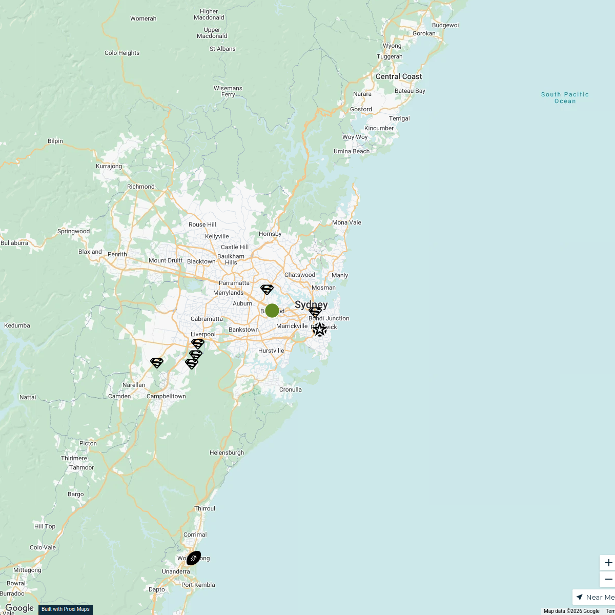
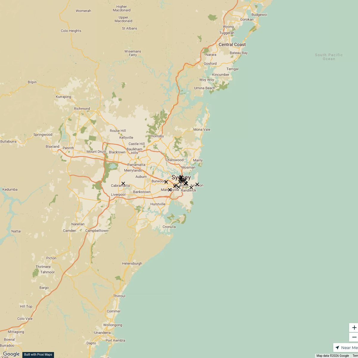
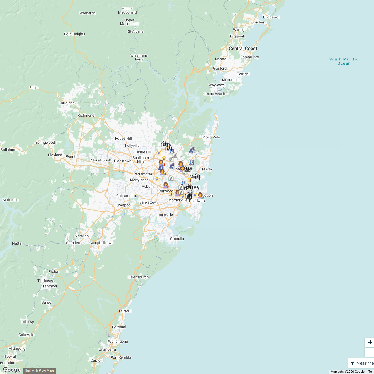
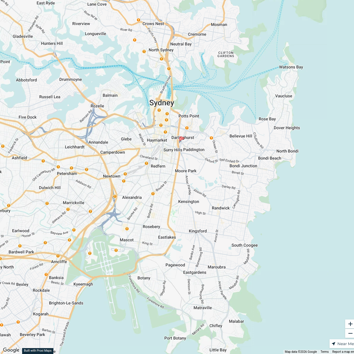
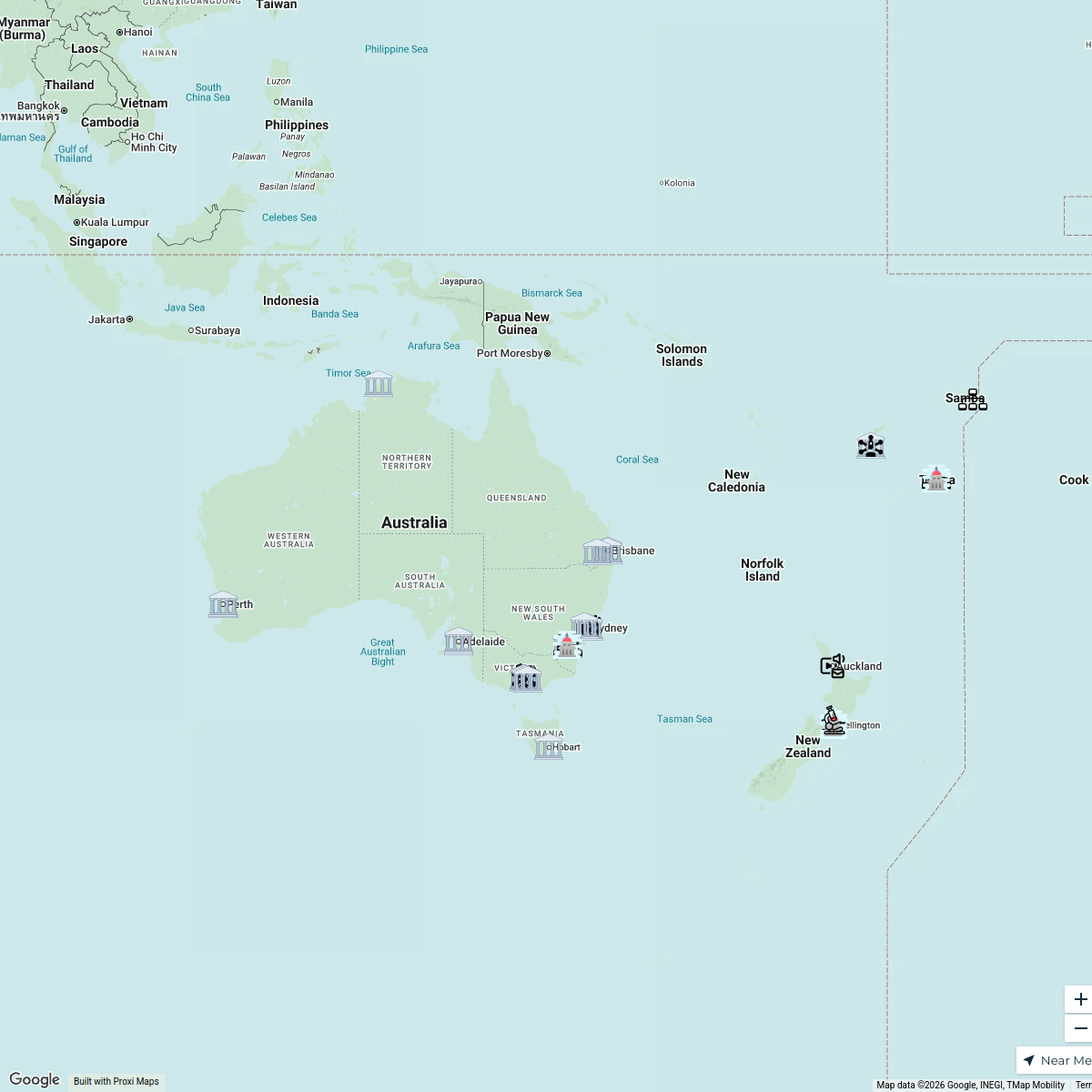
Sydney Train Service Routes
A detailed map showcasing the train service routes across Sydney, highlighting key stations and connections available in the area. Ideal for commuters and travelers looking to navigate the public transportation system efficiently.
Made with ProxiUpdated Jan 2025
- Transport Hubs 8
- Commuter Services 4
- Accessibility Options 3
- Train Stations 2
Places on This Map
17 places · 4 groupsNearby Maps
Sydney Explorer
127 stops · Sydney NSW, Australia bhidetejas03's Workspace
Sydney Restaurant Recommendations
23 stops · Sydney NSW, AustraliaJulie Niland's WorkspaceNanoplasty Treatment Sydney
34 stops · Sydney, Sydney NSW, Australiabethalmoore's WorkspaceHospitals in Sydney
2 stopsrachel's WorkspaceInformation Integrity Network
46 stops UNIC Mapping's Workspace
Map of Australia
9 stops · Australialmitar's Workspace
This map was made with Proxi
Have a main street, a market, or a story worth walking? Make your own map in a few minutes.