
Map · 5 places
Eagle Farm Bus Depot Area
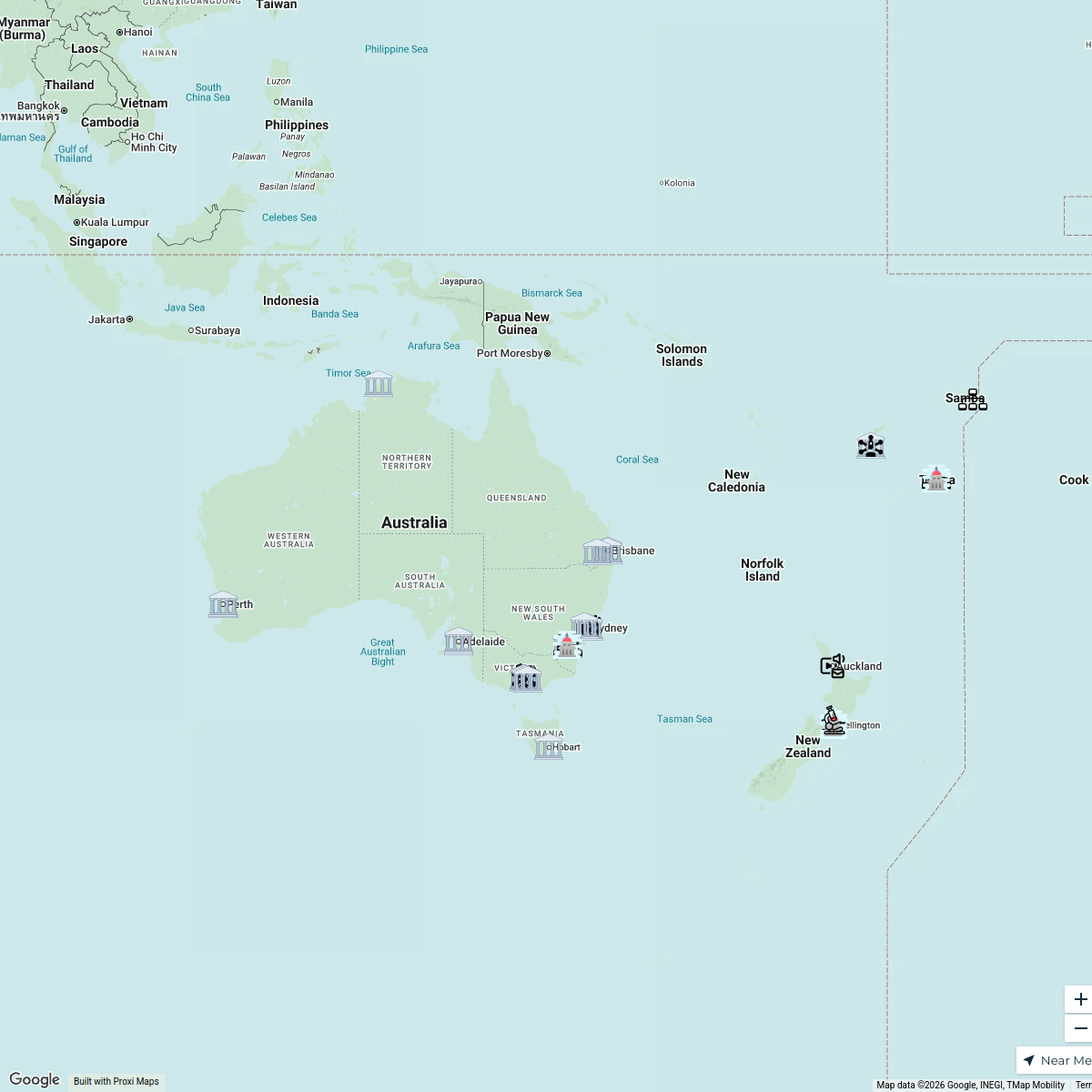
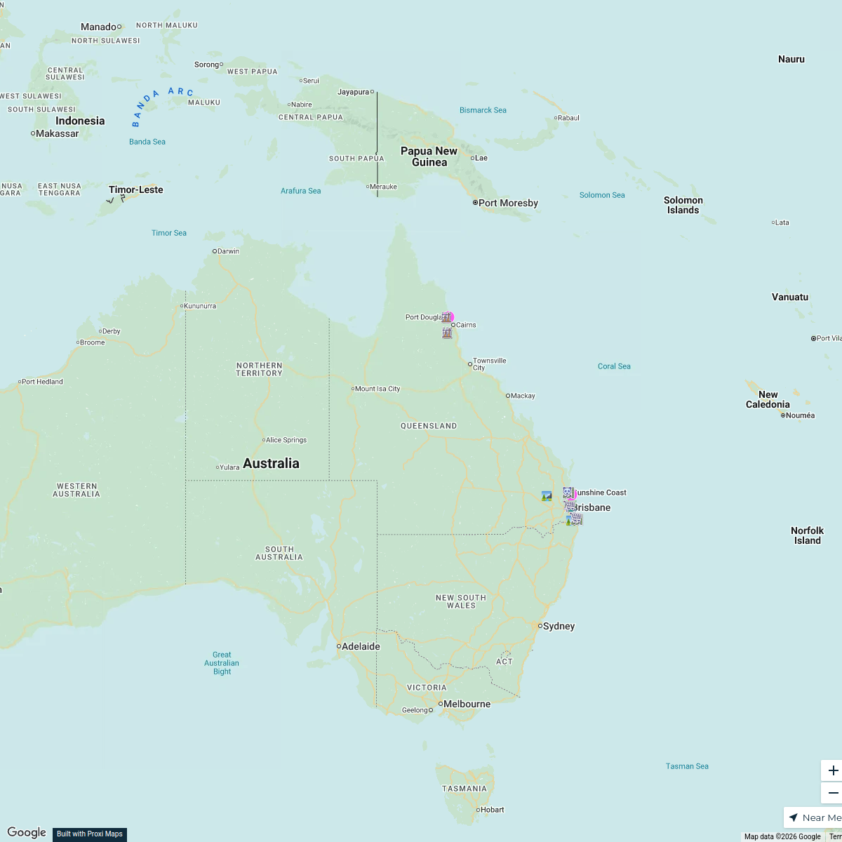
A detailed map centered around the Eagle Farm Bus Depot, highlighting routes and points of interest in the vicinity of the Brisbane City Council Bus Depot at 40 Schneider Rd, Eagle Farm.
Made with ProxiUpdated Jan 2025
- Public Transport 5
Places on This Map
5 places · 1 groupNearby Maps
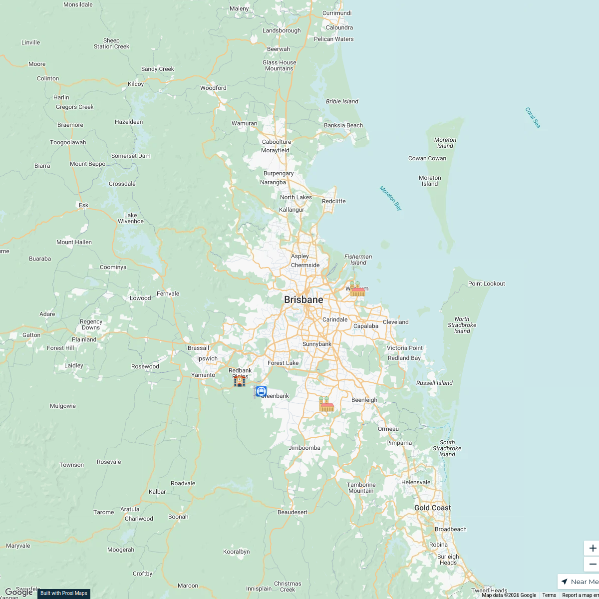
daily route (mostly)
5 stops · Brisbane QLD, Australia Vance Brownlie's Workspace
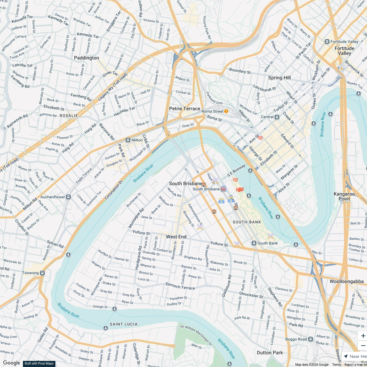
South Brisbane Conference Attendees Map
17 stops · South Brisbane, South Brisbane QLD, Australia Steve P's Workspace
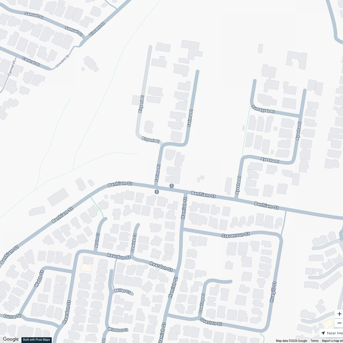
Calamvale Halloween Map
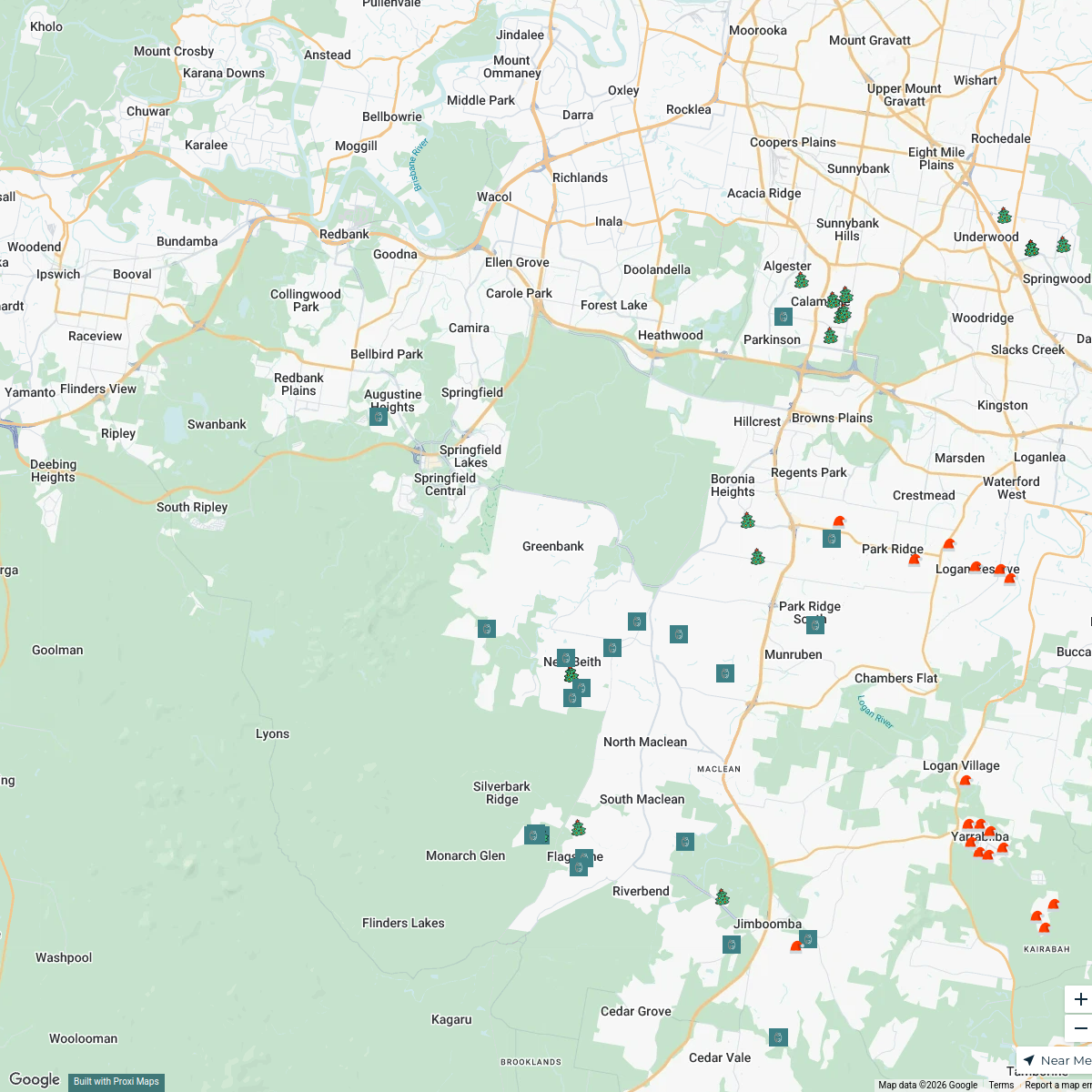
8 stops · 3 Fatima Place, Calamvale QLD, AustraliaMandeep Chahal's WorkspaceLights & Smiles Map
68 stops · Greenbank, Greenbank QLD 4124, Australia Anna Dunsdon's Workspace
Information Integrity Network
46 stopsUNIC Mapping's WorkspaceBest of Queensland
16 stops · Queensland, AustraliaJamie Collins's Workspace
This map was made with Proxi
Have a main street, a market, or a story worth walking? Make your own map in a few minutes.