
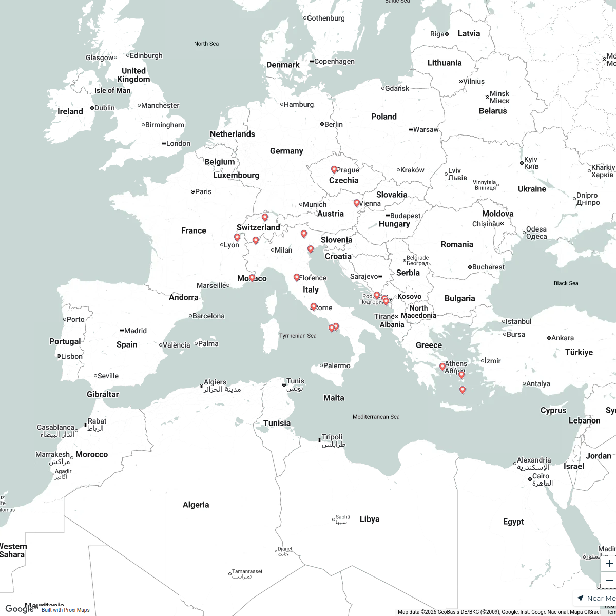
Map · 16 places
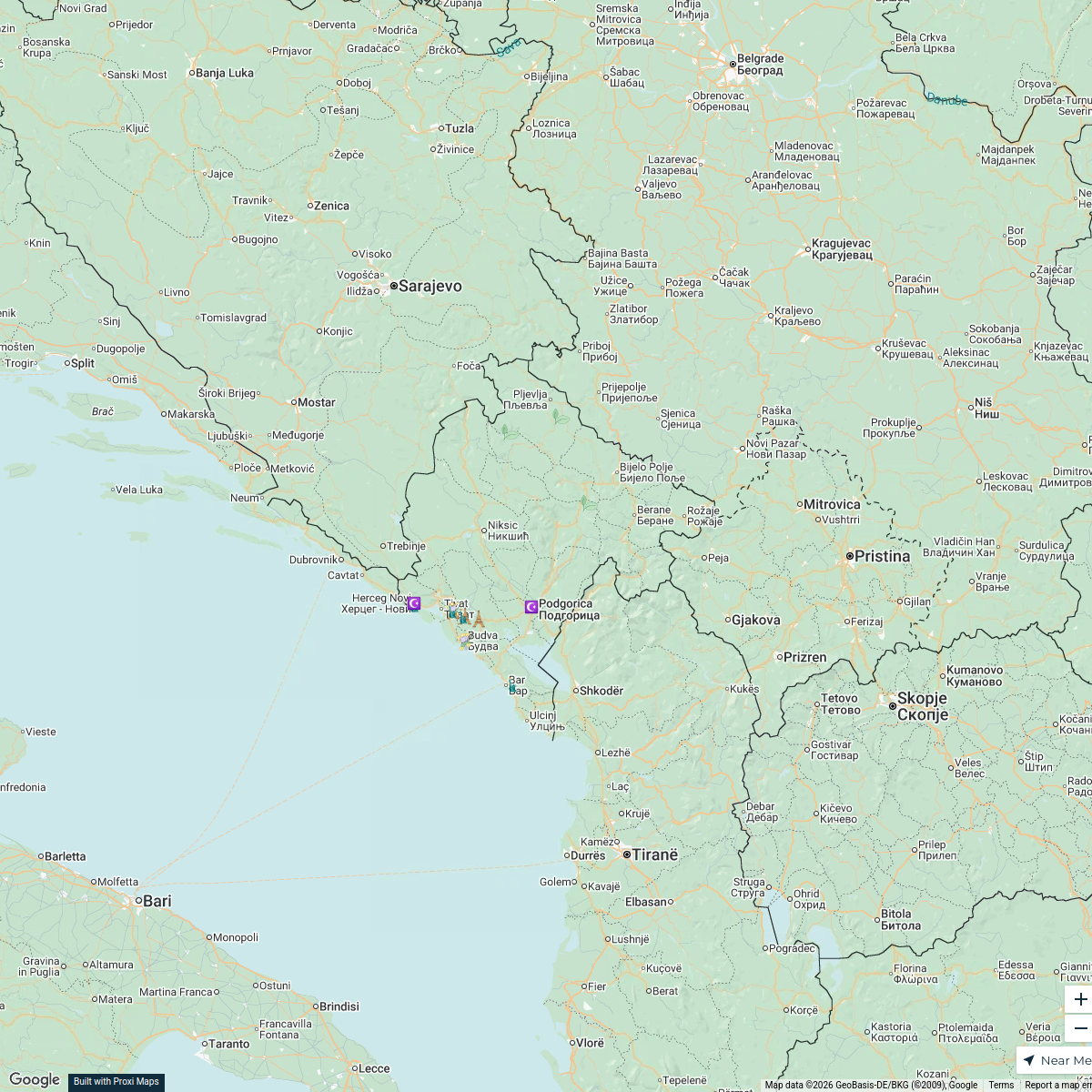
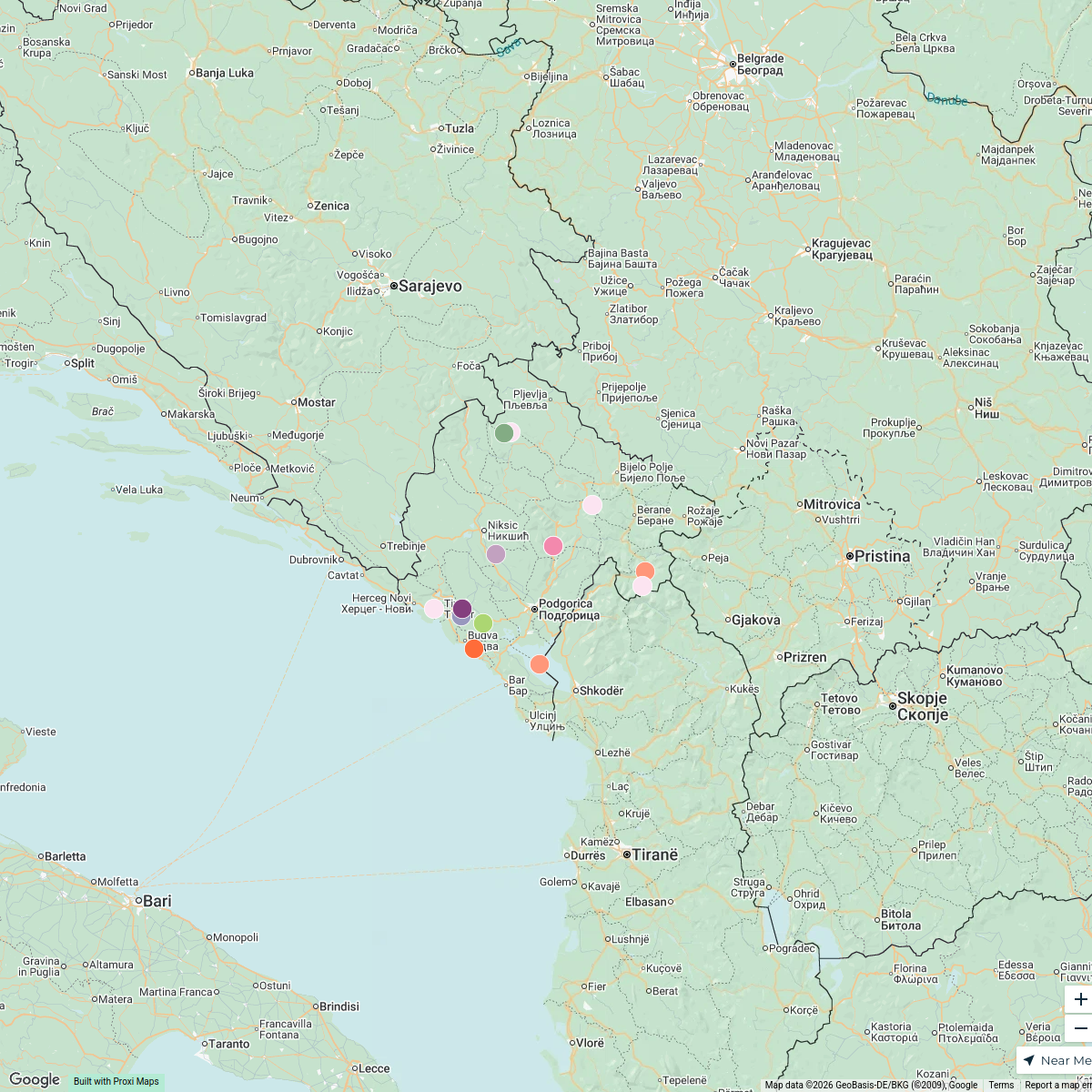
Historical Map of the Bay of Cattaro - 1852
A detailed map showcasing the Bay of Cattaro as it appeared in 1852, focusing on the settlement of Sutorina, Montenegro. This map provides historical insight into the geography, settlements, and maritime routes of the region during that period.
Made with ProxiUpdated Dec 2024
- Settlements 12
- Cultural Heritage 4
Places on This Map
16 places · 2 groupsNearby Maps
Old Montenegro Guide
153 stops · 7XP8+29J Utrg, Montenegro Risto Hajduković's Workspace
Montenegro Overview
21 stops · Montenegro Alex Kutsenko's Workspace
Nature Lover's Paradise in Montenegro
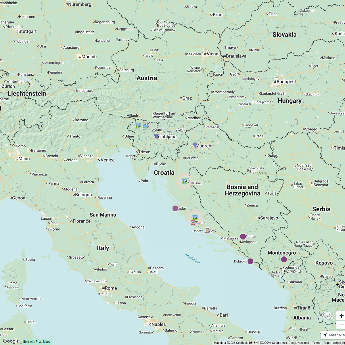
15 stops · MontenegroAlex Kutsenko's WorkspaceMap of Croatia
16 stopsgeomountains's WorkspaceCroatian luxury villas with a pool
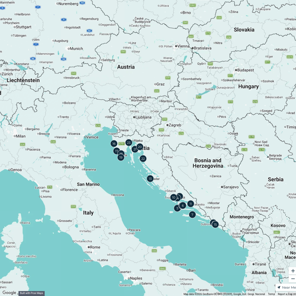
23 stops · Croatia CosmopoliClan's Workspace
Europe.
18 stops · Italycarssonguth's Workspace

This map was made with Proxi
Have a main street, a market, or a story worth walking? Make your own map in a few minutes.