
Map · 11 places
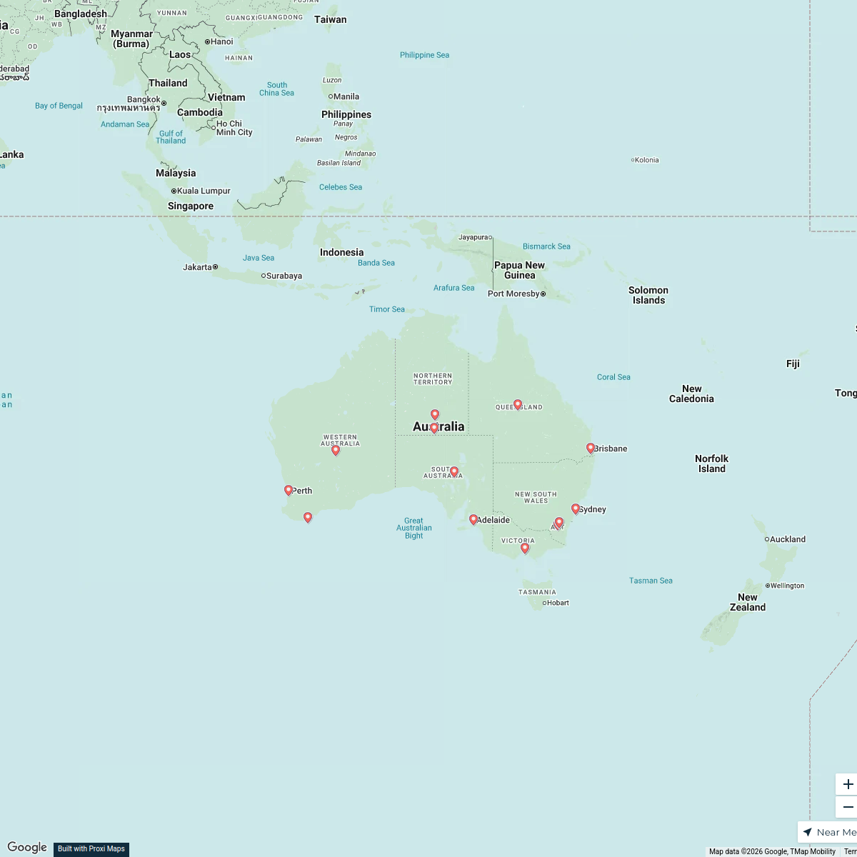
Western Australia Road and Agriculture Map
This map showcases the key cities and main roads of Western Australia, highlighting the Wheat Belt in yellow and the prominent wine regions in dark green. The highlighted road sections include Perth to Busselton, and Busselton to Augusta, providing an essential overview of transport routes in relation to agricultural areas.
Made with ProxiUpdated Dec 2024
- Cities 4
- Wine Regions 4
- Main Roads 2
- Wheat Belt 1
Places on This Map
11 places · 4 groupsNearby Maps
Australia Overview Map
17 stops · Australia mfaulkner's Workspace
Australian Landmarks
25 stopsjmitchellluker's WorkspaceWORLD MAP EXPLORATION
55 stops · Melbourne VIC, Australiaitem0001's WorkspaceCommunity Map
Western Australia Wildlife Tour
9 stops · Western Australia, AustraliaShared by the Proxi communityCommunity Map
Discover Western Australia
19 stops · Western Australia, AustraliaShared by the Proxi communityCommunity Map
Western Australia Overview
17 stops · Western Australia, AustraliaShared by the Proxi community
This map was made with Proxi
Have a main street, a market, or a story worth walking? Make your own map in a few minutes.