
Map · 20 places
Topographic Map of the Black Hills
A detailed topographic map showcasing the elevation, terrain, and natural features of the Black Hills region in the United States. This map highlights notable landmarks, hiking trails, and geological formations.
Made with ProxiUpdated Dec 2024
- State Parks 6
- Natural Landmarks 5
- Campsites 3
- Geological Features 3
- Wildlife Areas 3
Places on This Map
20 places · 5 groupsNearby Maps
MOUNT RUSH+MORE
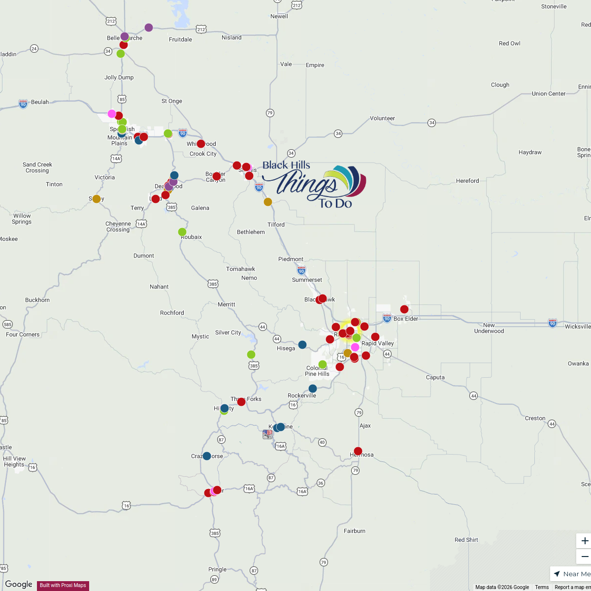
8 stops · Mount Rushmore National Memorial, South Dakota 244, Keystone, SD, USALori · @LoriEVBlack Hills Things To Do
106 stops amber's Workspace
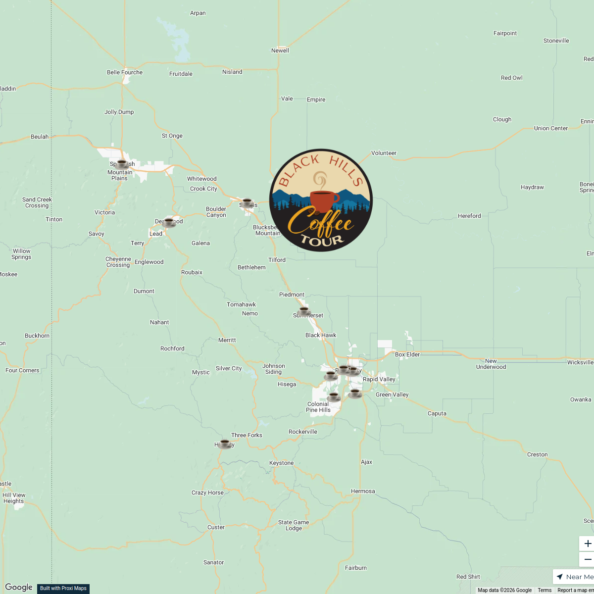
Explore The Black Hills
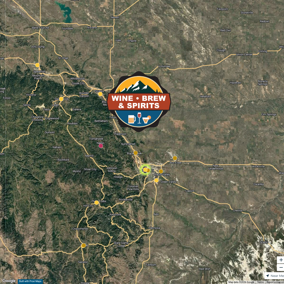
72 stopsamber's WorkspaceBlack Hills Wine, Brew & Spirits
19 stopsamber's WorkspaceBlack Hills Sweets & Treats
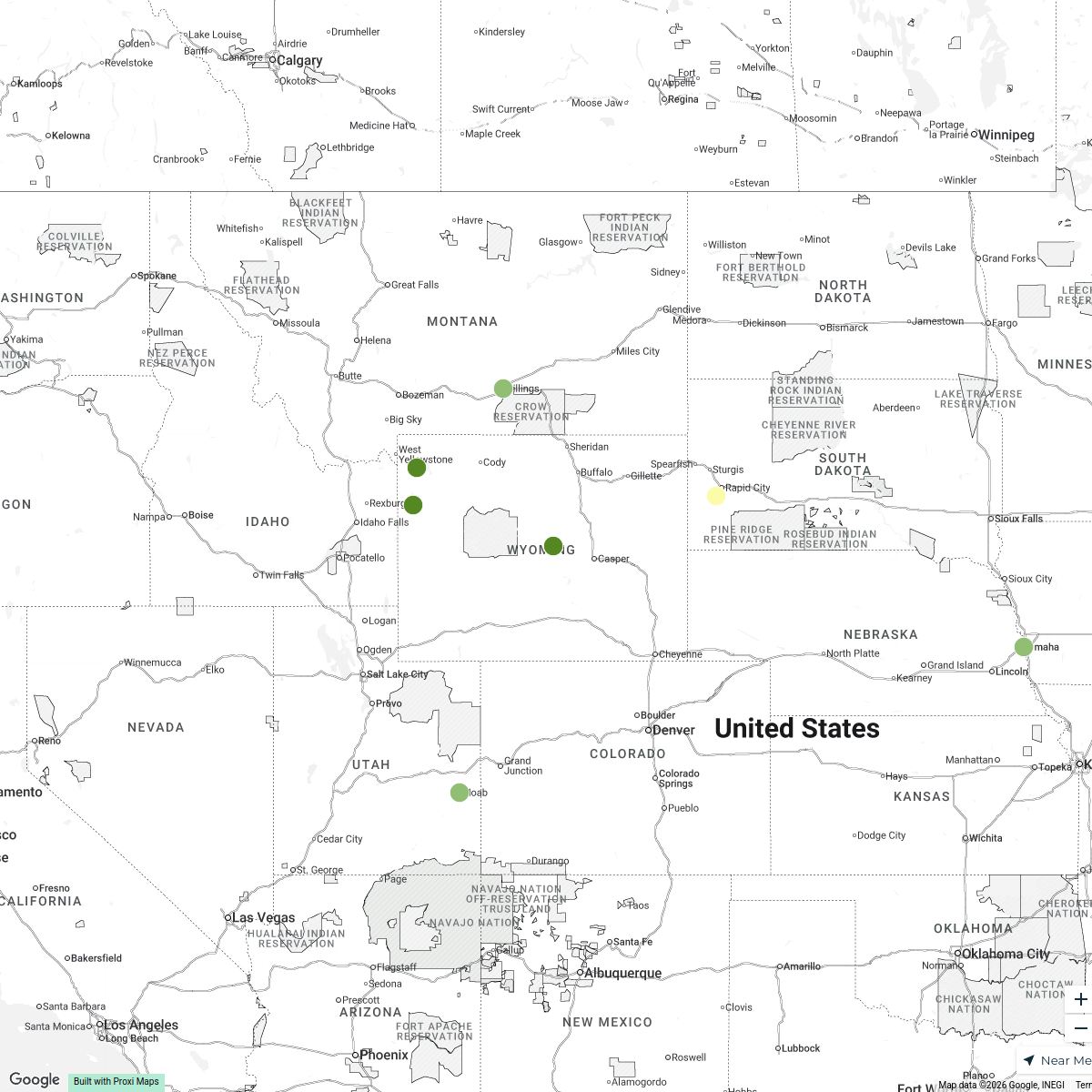
14 stopsamber's WorkspaceWyoming and Nearby National Parks
18 stops · Wyoming, USA baileykestel's Workspace

This map was made with Proxi
Have a main street, a market, or a story worth walking? Make your own map in a few minutes.