
Map · 18 places
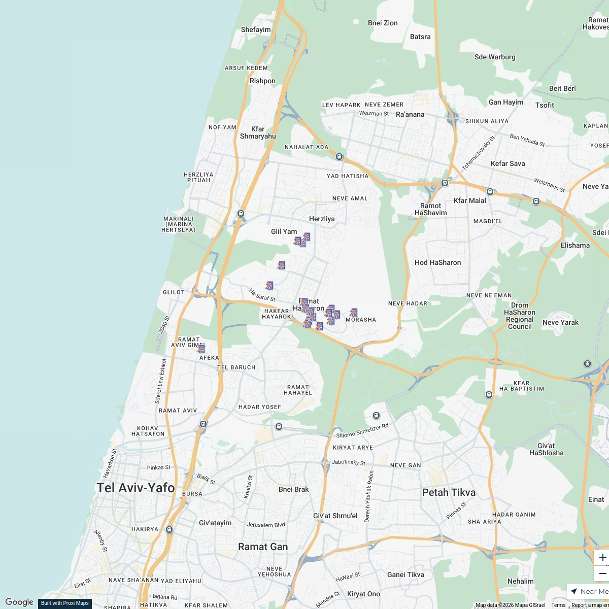
Herzliya Shelters Map
A detailed map highlighting the locations of public shelters in Herzliya, Israel. This map is designed to assist residents and visitors in identifying the nearest shelters for safety and emergency preparedness.
Made by emanuel eisenberg's WorkspaceUpdated Dec 2024
- Public Shelters 18
Places on This Map
18 places · 1 groupNearby Maps
Map of Shelters in Ramat Hasharon
18 stops · רמת השרון, Ramat Hasharon, Israel emanuel eisenberg's Workspace
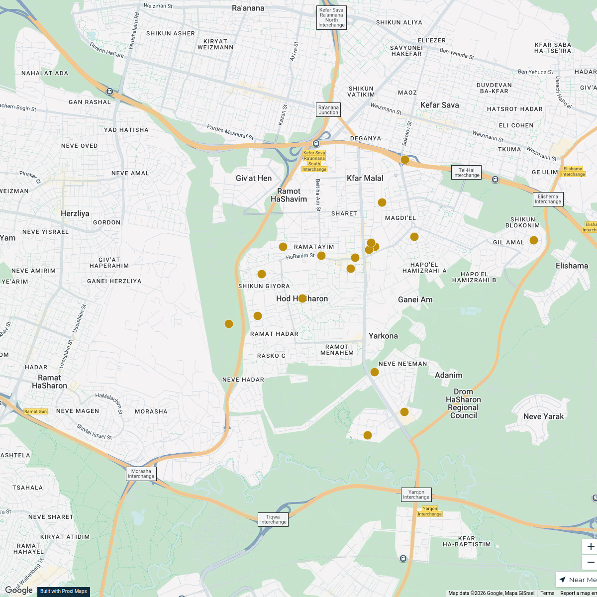
Map of Hod HaSharon, Israel
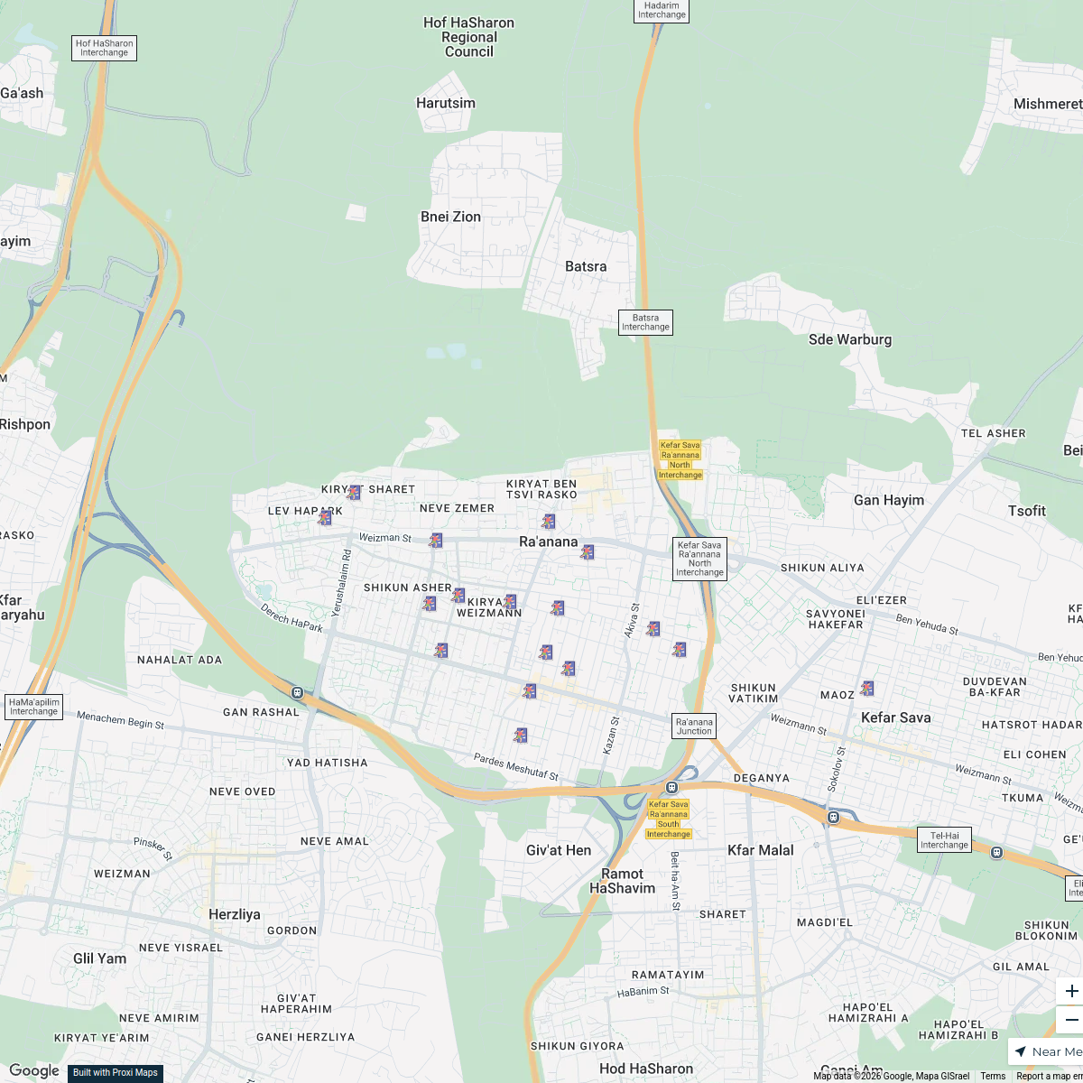
18 stops · הוד השרון, Hod HaSharon, IsraelEmu192's WorkspaceRa'anana Shelter Map
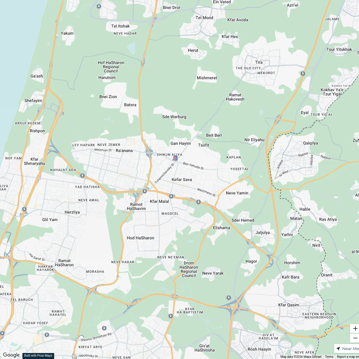
18 stops · Raanana, Ra'anana, IsraelEmu192's WorkspaceKfar Saba Shelters
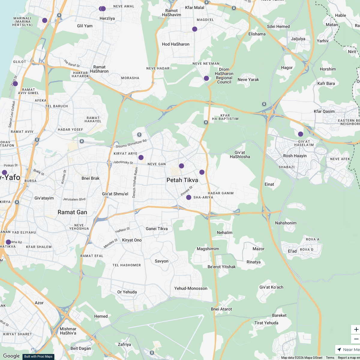
18 stops · כפר סבא, Kfar Saba, Israelemanuel eisenberg's WorkspacePetaj Tikva Shelter Map
18 stops · פתח תקווה, Petaj Tikva, IsraelEmu192's Workspaceפתח תקווה Points of Interest
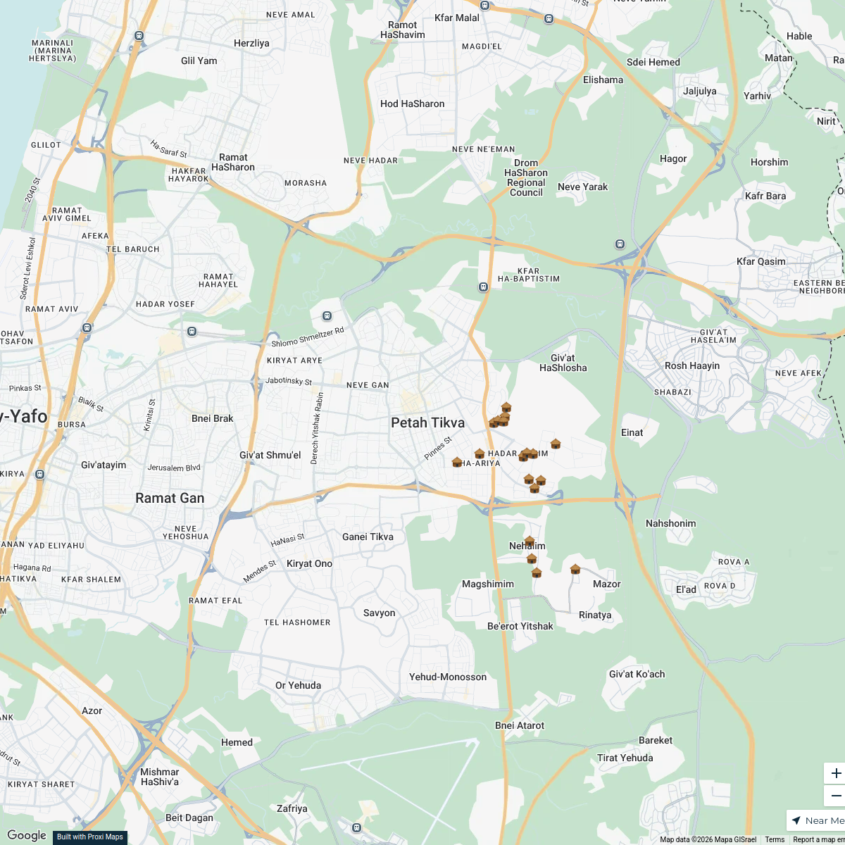
32 stops · Petah Tikva, Israel Arnold Shvashtein's Workspace
This map was made with Proxi
Have a main street, a market, or a story worth walking? Make your own map in a few minutes.