
Map · 16 places · Medina, OH
Transportation Routes from Medina, OH 44256
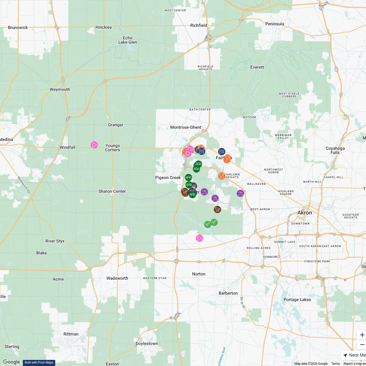
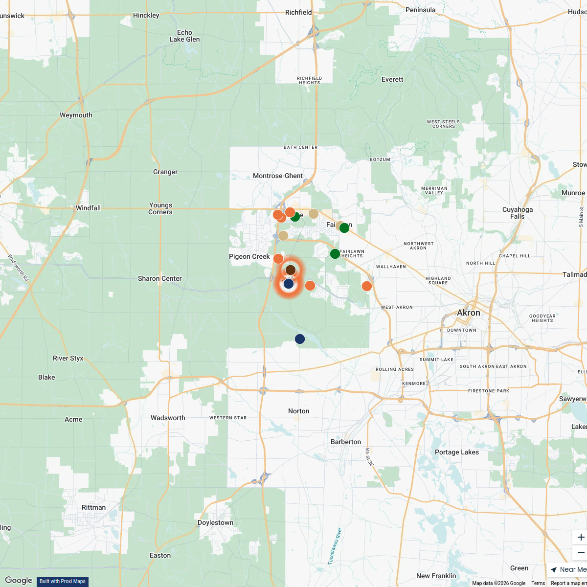
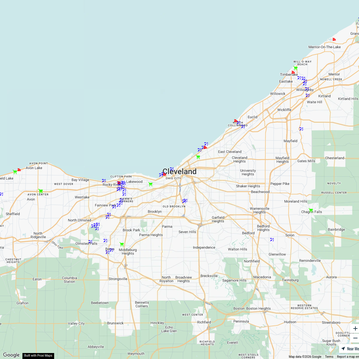
This map details all transportation routes out of Medina, Ohio 44256, including vehicle highways, bus routes, train lines, pedestrian paths, and oil roads. It serves as a comprehensive resource for travelers and residents looking to explore connectivity options from the center of Medina.
Made with ProxiUpdated Dec 2024
- Local Transportation 9
- Pedestrian Paths 5
- Vehicle Routes 2
Places on This Map
16 places · 3 groupsNearby Maps
Explore Copley
38 stops director's Workspace
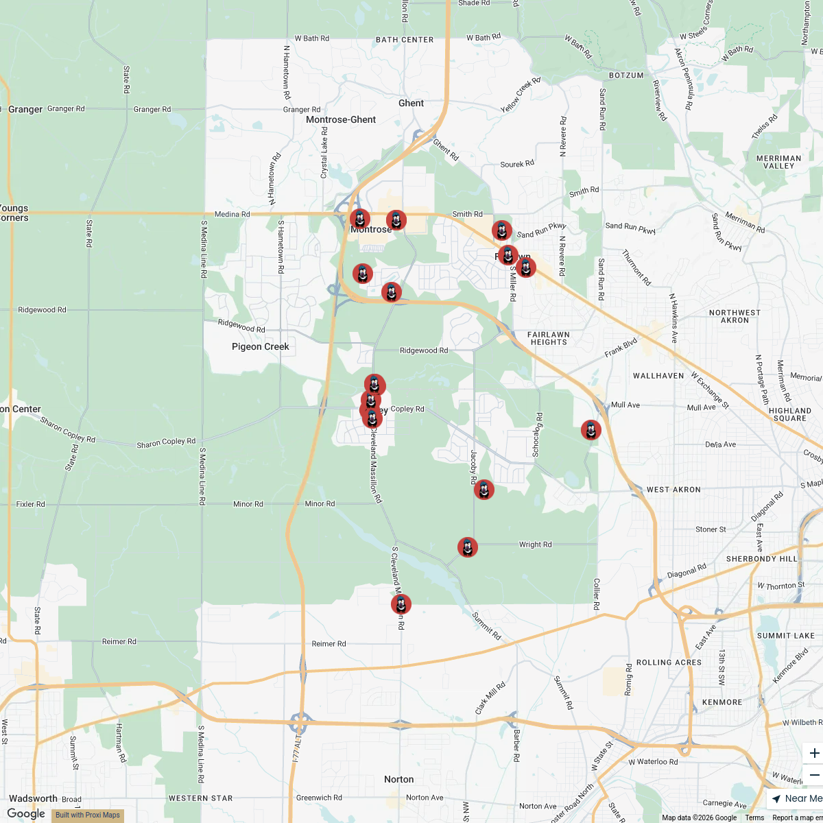
Penguin Quest Locations
29 stopsdirector's Workspace2026 Copley Chamber Hosted Events
19 stopsdirector's WorkspaceCamp Out Map
18 stops · Camp Manatoc Scout Reservation, BSA, Truxell Road, Peninsula, OH, USA Heidi Miller's Workspace
Interactive Fishing Map
113 stops Zach Kaz's Workspace
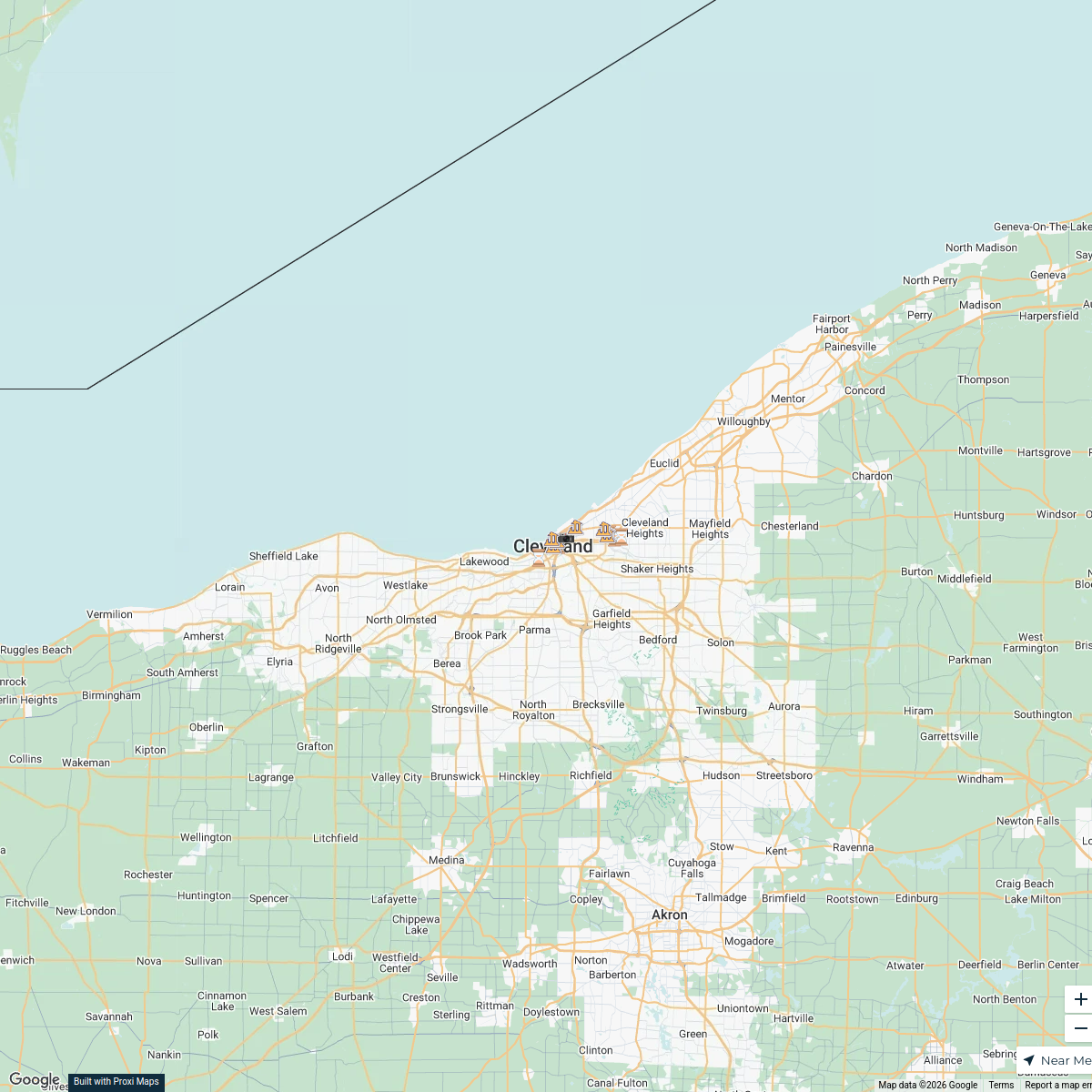
Abandoned Places in Cleveland
17 stops · Cleveland, OH, USAkennynewton100's Workspace
This map was made with Proxi
Have a main street, a market, or a story worth walking? Make your own map in a few minutes.