
Map · 16 places
New Hampshire School Zones
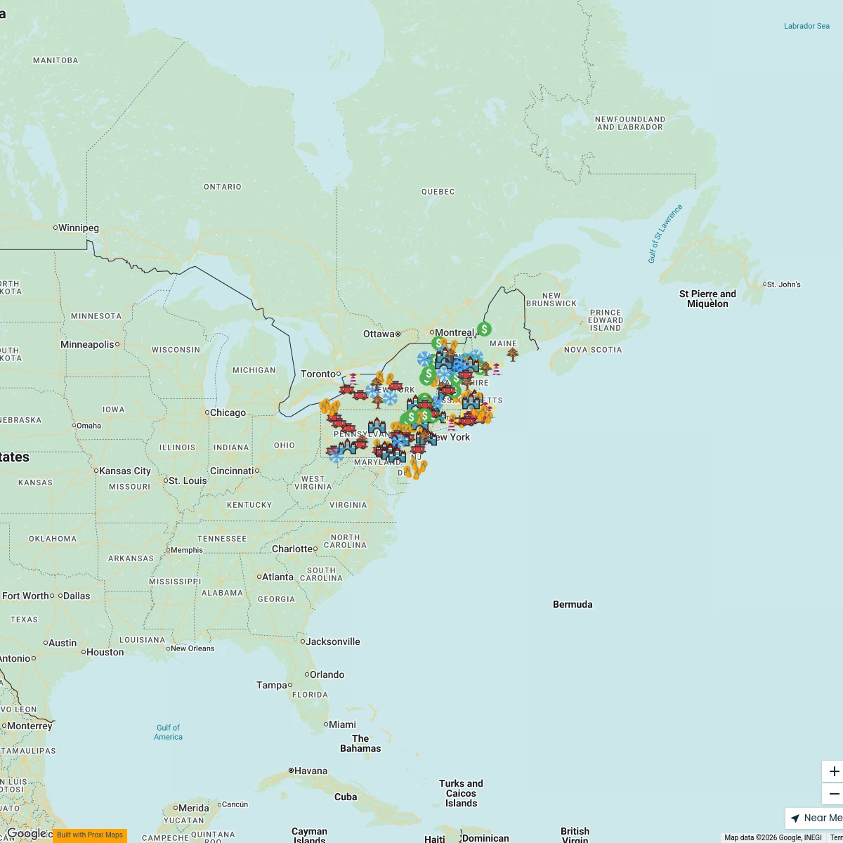
A detailed map showcasing various school zones throughout New Hampshire, USA. This map provides insights into the locations of schools, safety measures, and related traffic regulations in proximity to educational institutions.
Made with ProxiUpdated Dec 2024
- Elementary Schools 2
- High Schools 2
- Middle Schools 2
- Parks Near Schools 2
- Private Schools 2
- School Zones 2
- Special Education Schools 2
- Traffic Safety Areas 2
Places on This Map
16 places · 8 groupsNearby Maps
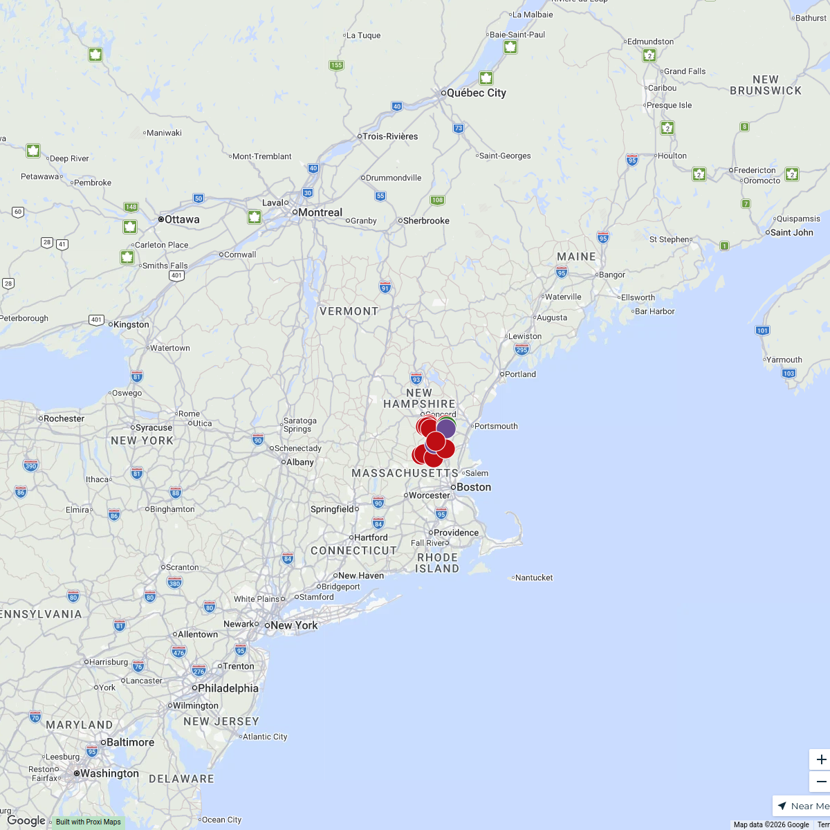
Client Locations
14 stops · New Hampshire, USA debbieslp's Workspace
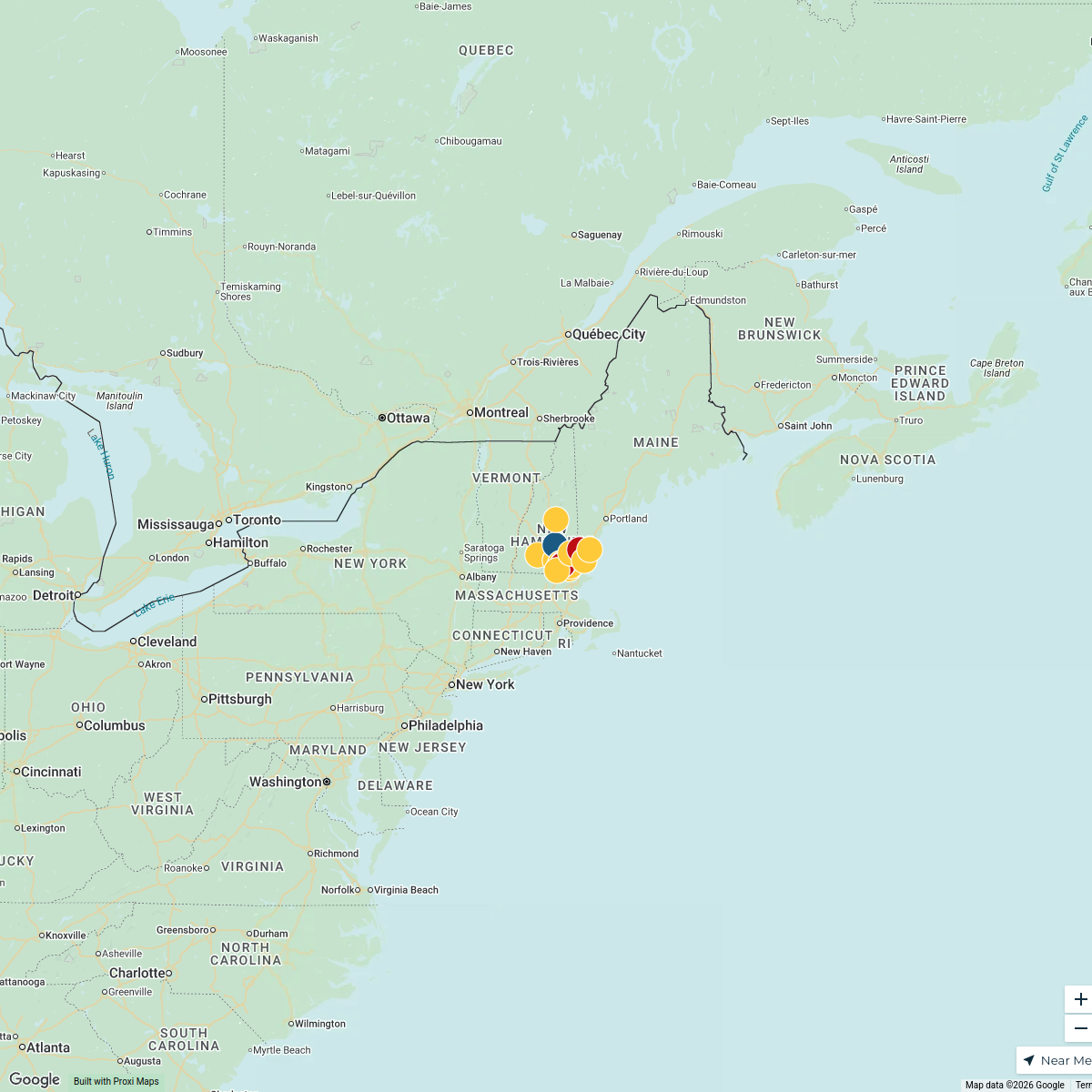
New Hampshire Map
15 stops · New Hampshire, USAdebbieslp's WorkspaceClient Map 2025
7 stops Deborah Bennett's Workspace
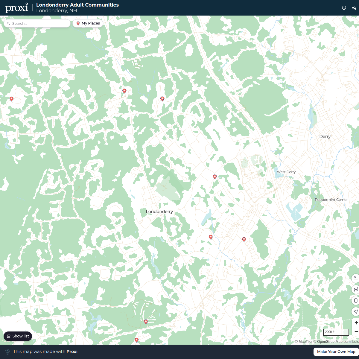
Londonderry Adult Communities
11 stopsvirginia's WorkspaceSeacoast Central
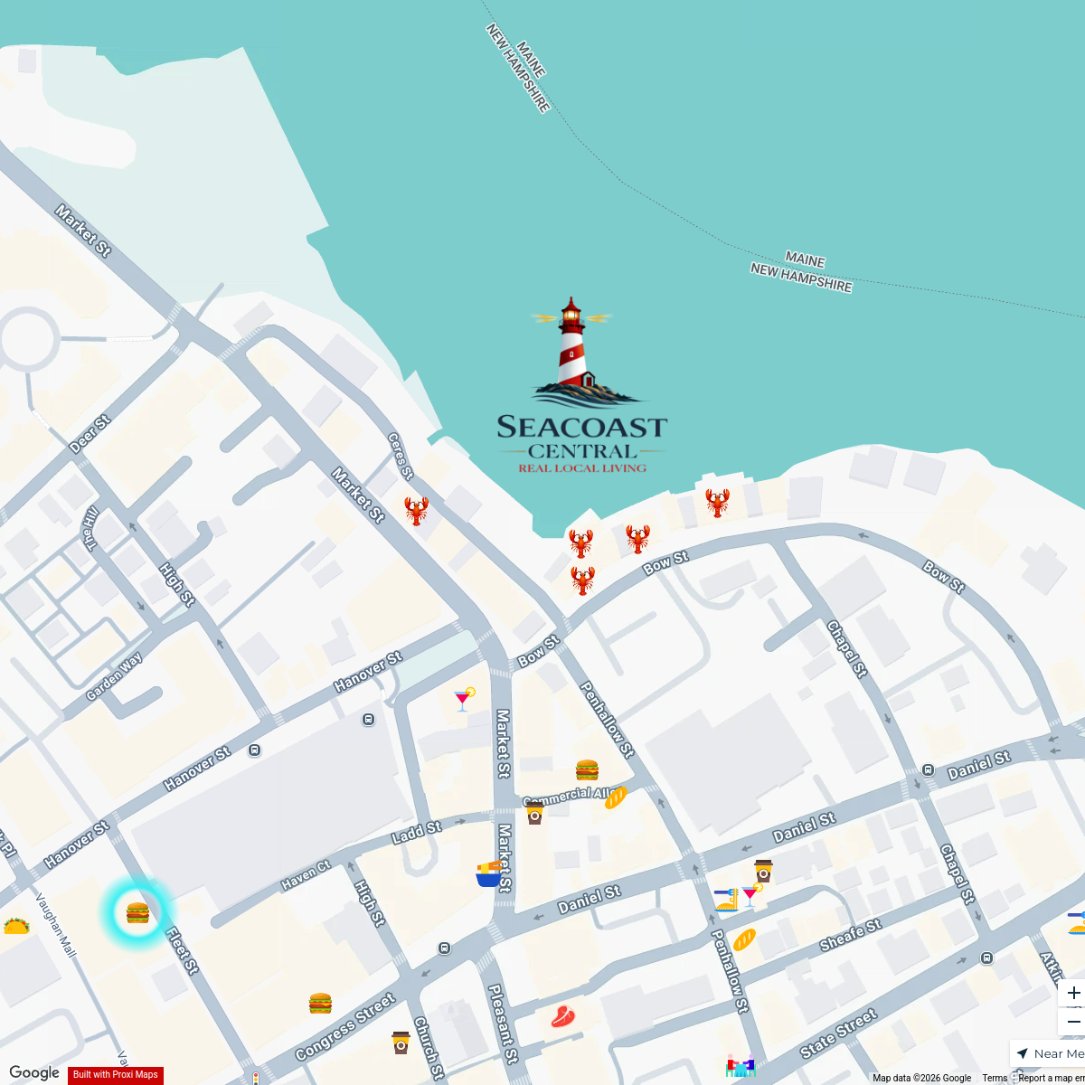
315 stops Seacoast Central
Unique Places to Stay Map
138 stops Travel Like Jess

This map was made with Proxi
Have a main street, a market, or a story worth walking? Make your own map in a few minutes.