
Map · 19 places
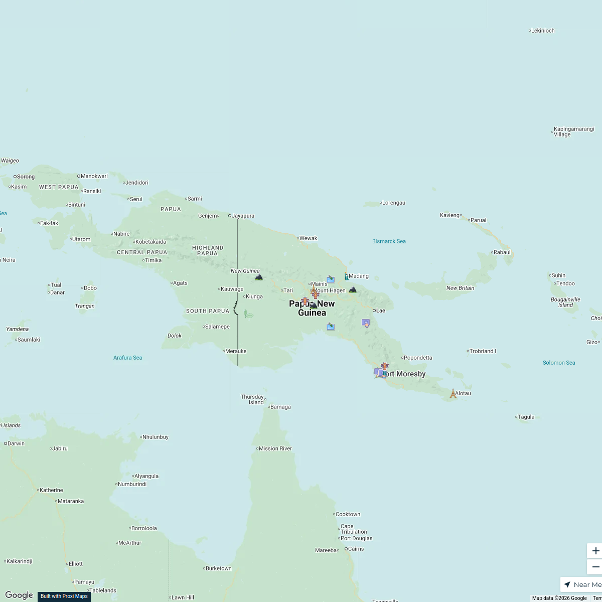
Port Moresby Crime Risk Zones
This map highlights the various crime risk zones within Port Moresby, classified based on safety levels to assist residents and visitors in navigating the area. It showcases regions identified as low, medium, and high crime risk, providing crucial information for personal safety and urban navigation.
Made with ProxiUpdated Dec 2024
- Police Stations 6
- Community Resources 4
- Emergency Services 4
- Medium Crime Zones 4
- Safety Tips 1
Places on This Map
19 places · 5 groupsNearby Maps
Cultural and Geographical Highlights of Papua New Guinea
21 stops · Papua New Guinea David Perez's Workspace
Community Map
Port Moresby Medical Facilities
18 stops · Port Moresby National Capital District, Papua New GuineaShared by the Proxi communityCommunity Map
Port Moresby Residential Areas
1 stop · Port Moresby National Capital District, Papua New GuineaShared by the Proxi communityCommunity Map
Port Moresby Overview
1 stop · Port Moresby National Capital District, Papua New GuineaShared by the Proxi communityCommunity Map
Port Moresby and Surrounding Regions
19 stops · Port Moresby National Capital District, Papua New GuineaShared by the Proxi communityCommunity Map
Port Moresby Bus Routes
6 stops · Port Moresby, Port Moresby National Capital District, Papua New GuineaShared by the Proxi community
This map was made with Proxi
Have a main street, a market, or a story worth walking? Make your own map in a few minutes.