
Map · 9 places
Cuban Slave Trade Historical Map
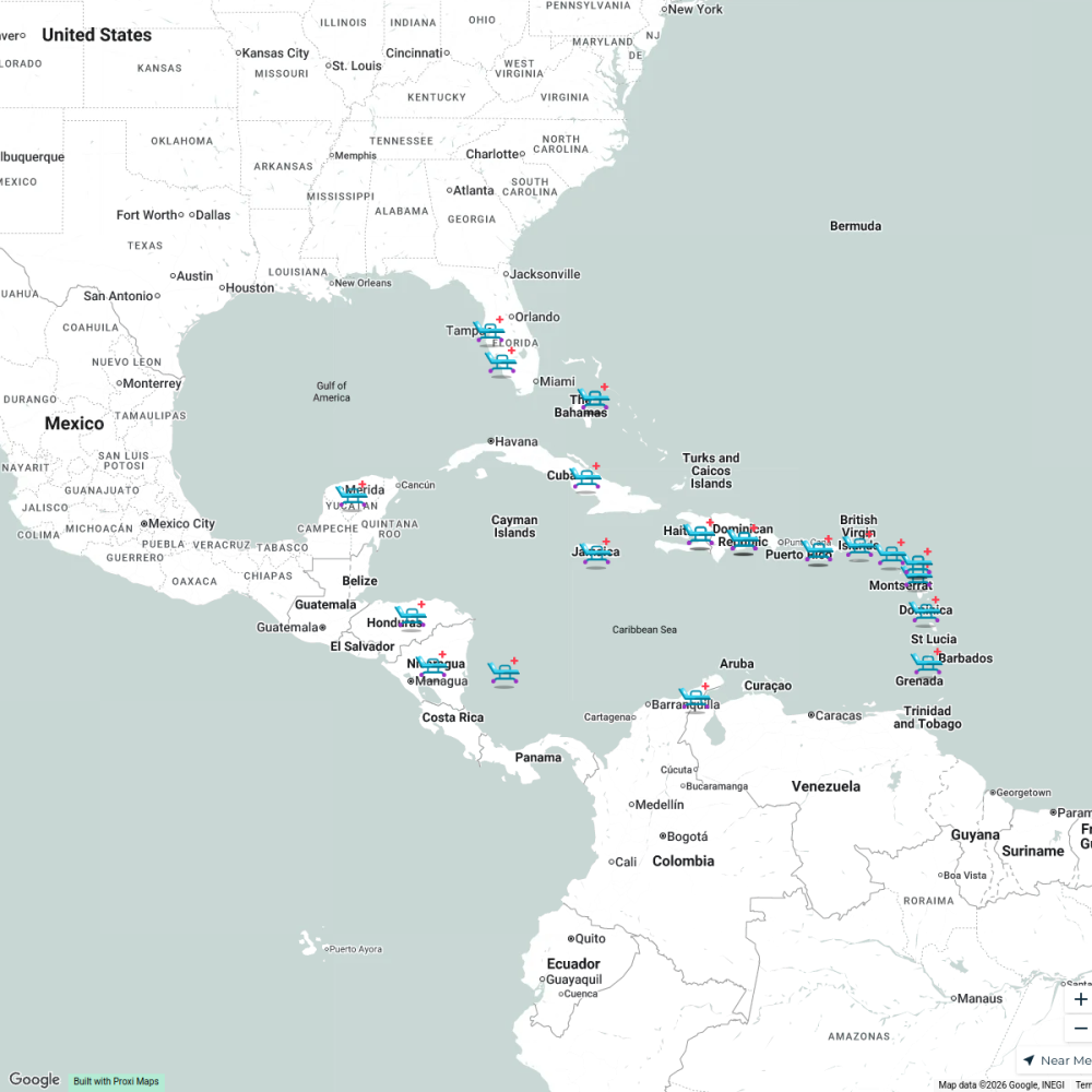
This map illustrates key locations and routes related to the slave trade in Cuba, highlighting ports, plantations, and other significant sites in the context of the transatlantic slave trade from the 16th to the 19th centuries.
Made by 27lucillesalcedo's WorkspaceUpdated Dec 2024
- Cultural Heritage Sites 4
- Plantation Locations 3
- Cuban Ports 2
Places on This Map
9 places · 3 groupsNearby Maps
Caribbean Reconstruction
25 stops Carolina sofia Velasquez Calderon's Workspace
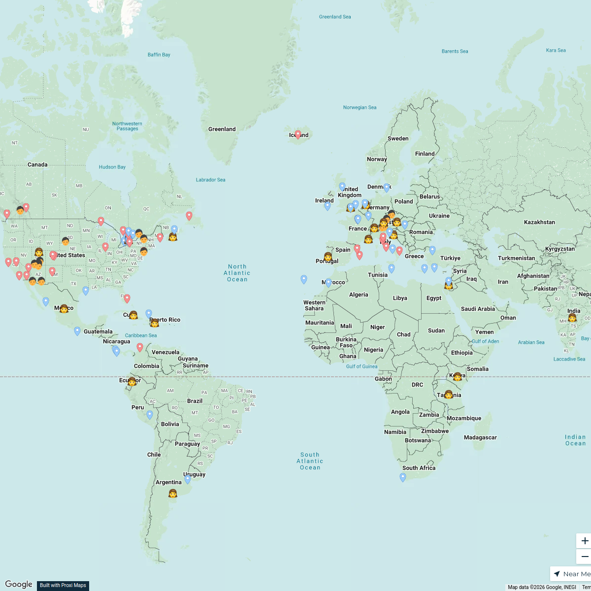
Holidays Around the World
32 stops · default_map_centerTara Allen's WorkspaceShannon's Bucket List, USA
60 stops · United States Shannon Kelly's Workspace
Cultural Harmony Week 2025 - USA
52 stops · USA, United StatesChristina Sama's WorkspaceShelby and Steven's Journey
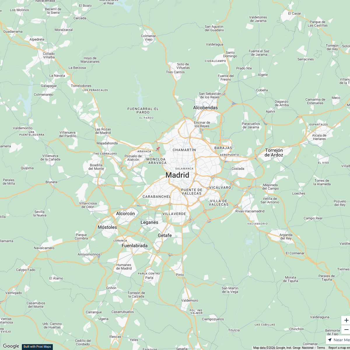
121 stopsSteven Cosby's WorkspaceInternational Relations in Madrid
25 stops · Madrid, EspañaJuan David Ante Garcia's Workspace
This map was made with Proxi
Have a main street, a market, or a story worth walking? Make your own map in a few minutes.