
Map · 9 places
Tahoe National Forest Wildfire Map
A detailed map showing areas affected by wildfires within Tahoe National Forest in California, including routes for evacuation, resources for active fire management, and the locations of fire-fighting efforts.
Made with ProxiUpdated Dec 2024
- Protected Areas 4
- Emergency Services 3
- Fire Management Resources 2
Places on This Map
9 places · 3 groupsNearby Maps
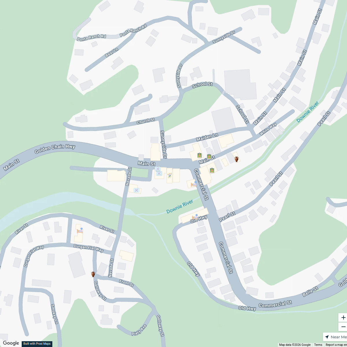
Downieville Discovery Map
21 stops gary's Workspace
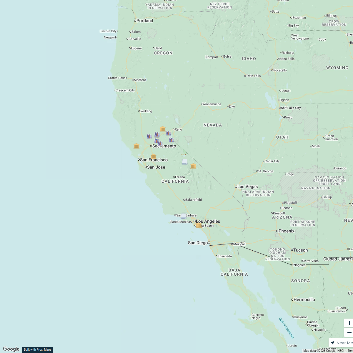
2026 California Road Trip
16 stops · California, USA shellymonteith's Workspace
After tapping CLICK TO INTERACT ...
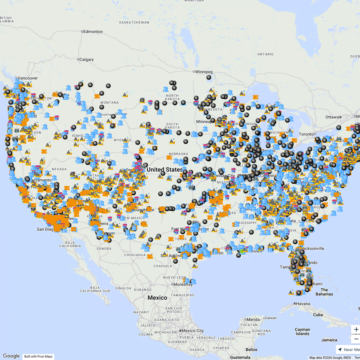
4359 stops Bucketlist Navigator
MEHKO MAP 2
1318 stops · default_map_center LA MEHKO Week
Trials Clubs & Enduro Parks
179 stops David Lemereis's Workspace
Seek Discomfort Adventure Map
974 stops Seek Discomfort's Adventure Map


This map was made with Proxi
Have a main street, a market, or a story worth walking? Make your own map in a few minutes.