
Map · 20 places
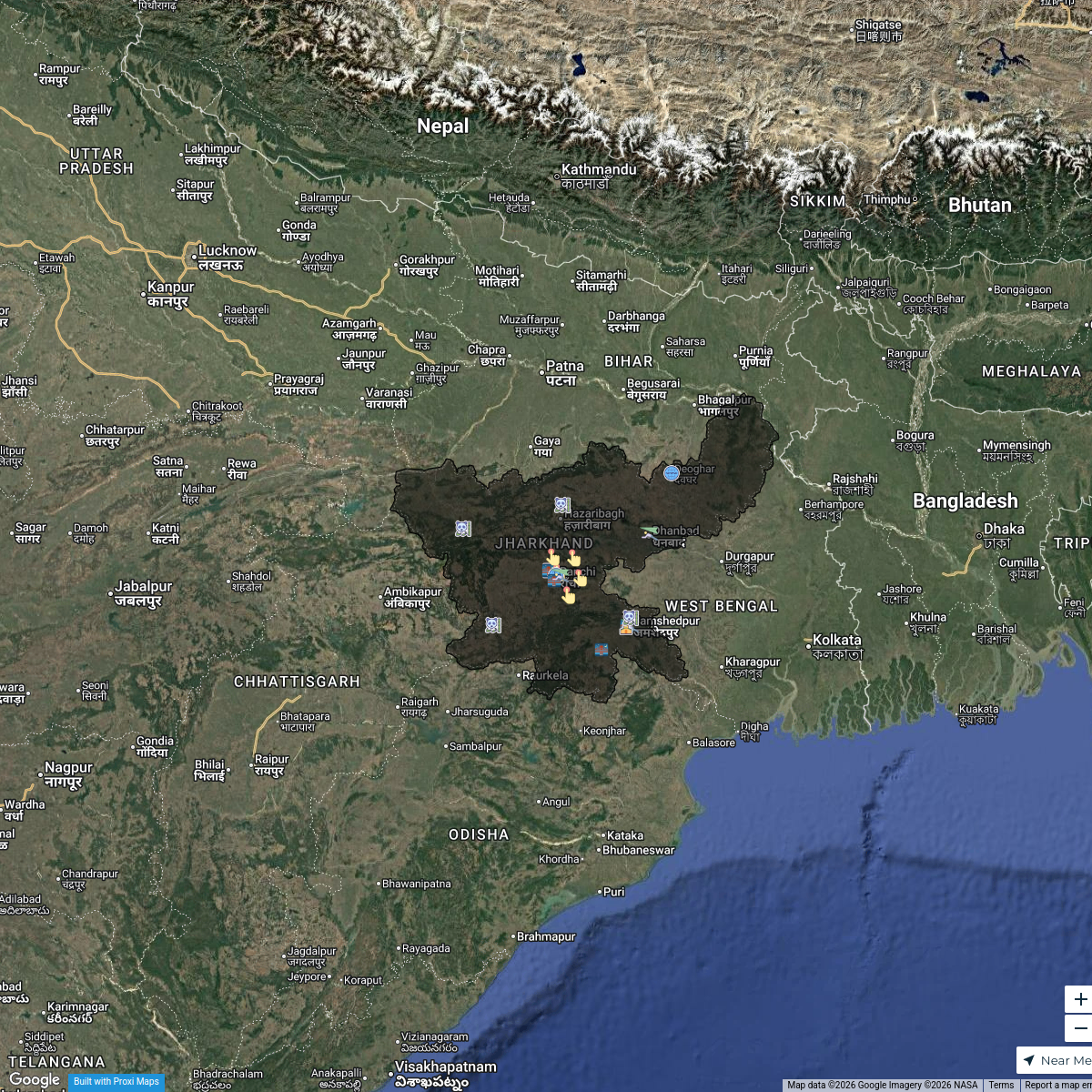
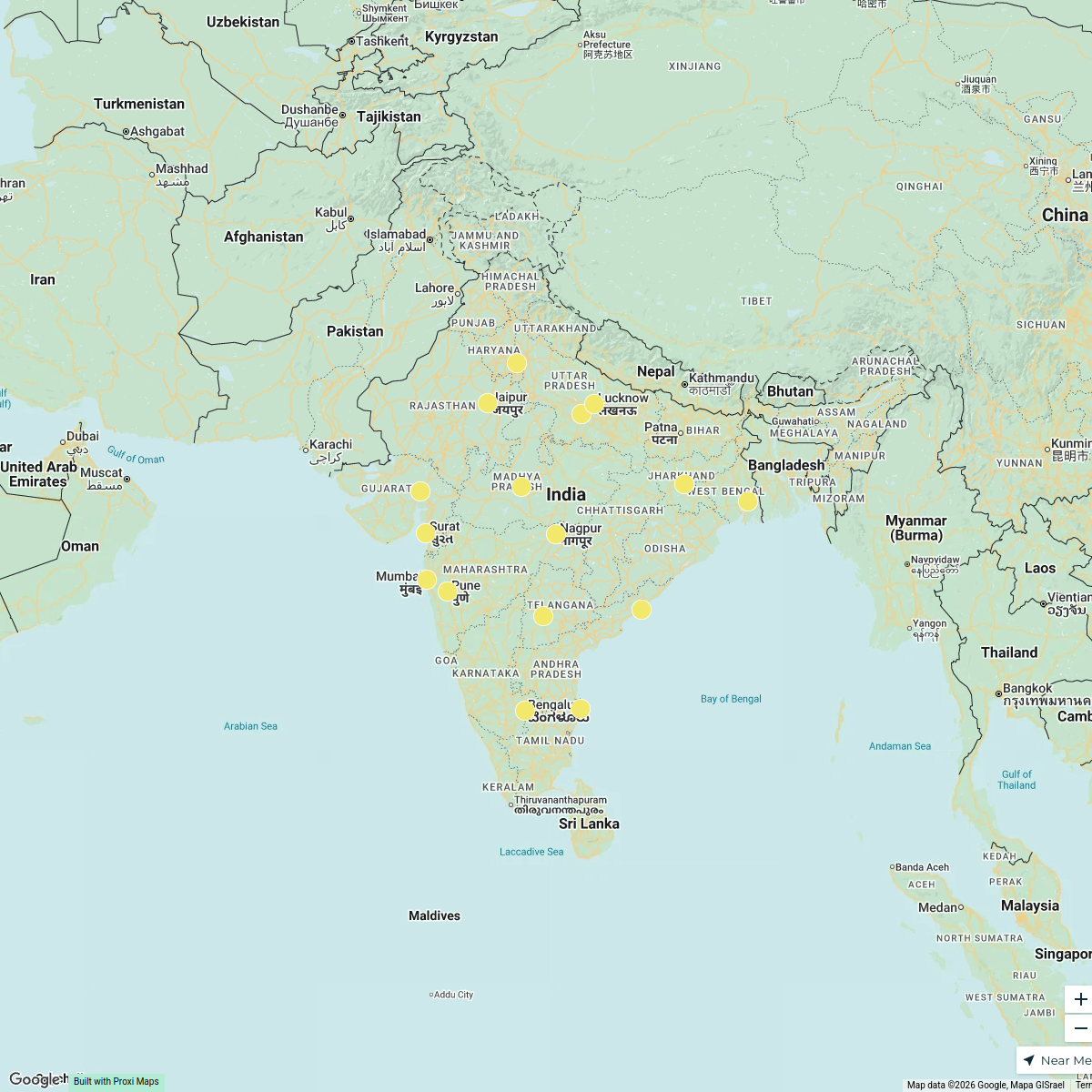
Jharkhand Agricultural Potential Map
A detailed map of Jharkhand, India, illustrating various agricultural zones with distinct color codes indicating major assets, crop areas, potential areas for certain crops/projects, and areas with no potential. This visual aid will assist in planning and development within the state, focusing on optimizing agricultural resources.
Made with ProxiUpdated Dec 2024
- Project Development Zones 10
- animal husbandry assets 4
- Crop Potential Areas 4
- Resource Management 2
Places on This Map
20 places · 4 groupsNearby Maps
Tourism Highlights in Jharkhand
21 stops · Jharkhand, India Yuvraj Thakur's Workspace
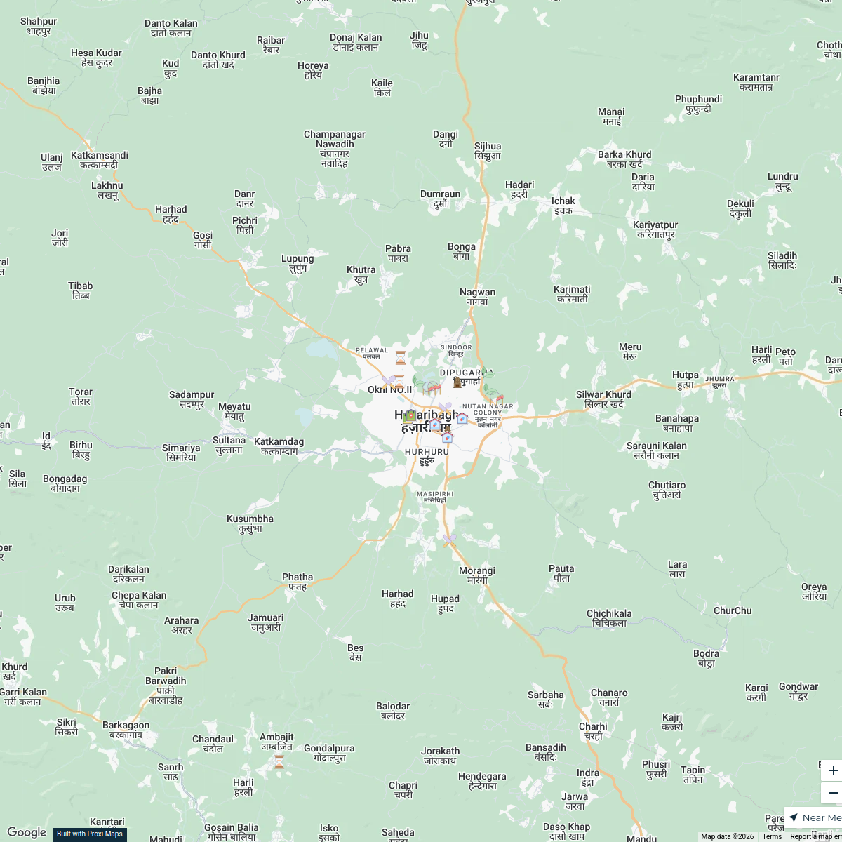
Hazaribagh Exploration Map
22 stops · Hazaribagh, Jharkhand, India Chiranjiv Bhattacharjee's Workspace
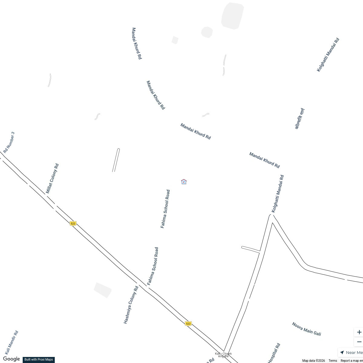
Fahima Academy and Surroundings
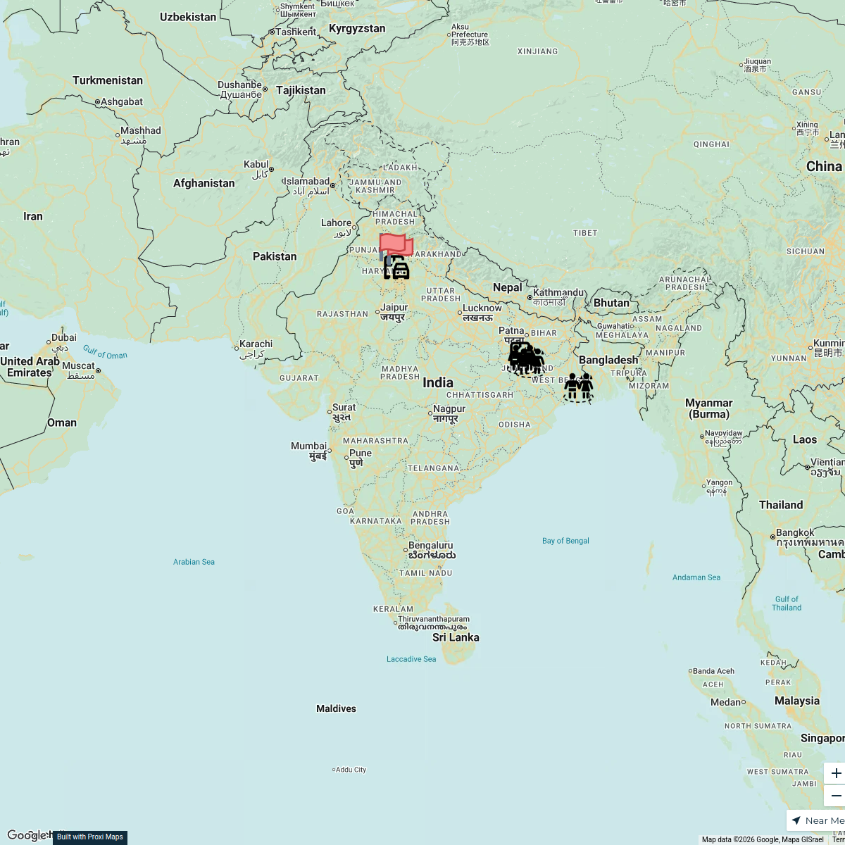
5 stops · Fahima Academy, 285X+2PP, Alfalah Colony, Pugmil, Hazaribagh, Marai Kalan, JharkChiranjiv Bhattacharjee's WorkspaceTrafficking Route from West Bengal to Haryana
7 stops · IndiaEMPOWER PEOPLE's WorkspaceMap of India Highlights
16 stops · India uv Shiva's Workspace
Single Stories Around Us
5 stops · IndiaArista Engineer's Workspace
This map was made with Proxi
Have a main street, a market, or a story worth walking? Make your own map in a few minutes.