
Map · 19 places
Waterways of Oxford
A detailed map showcasing the intricate network of waterways including rivers, canals, and other water bodies in and around Oxford, UK. This map highlights notable features related to waterways such as locks, bridges, and recreational areas.
Made with ProxiUpdated Dec 2024
- Bridges 5
- Locks 4
- Rivers 4
- Canals 3
- Historical Waterways 3
Places on This Map
19 places · 5 groupsNearby Maps
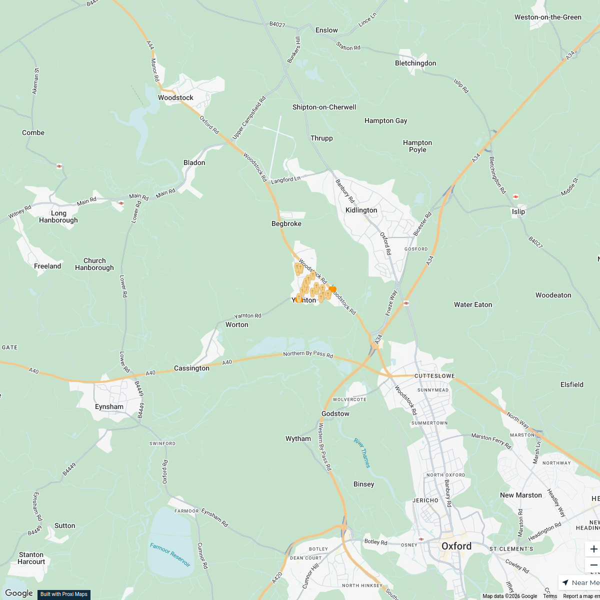
Yarnton Halloween Trail
21 stops · Yarnton, UK tamsinsmale's Workspace
Cotswald
8 stops · Cotswolds, UK Dev Das's Workspace
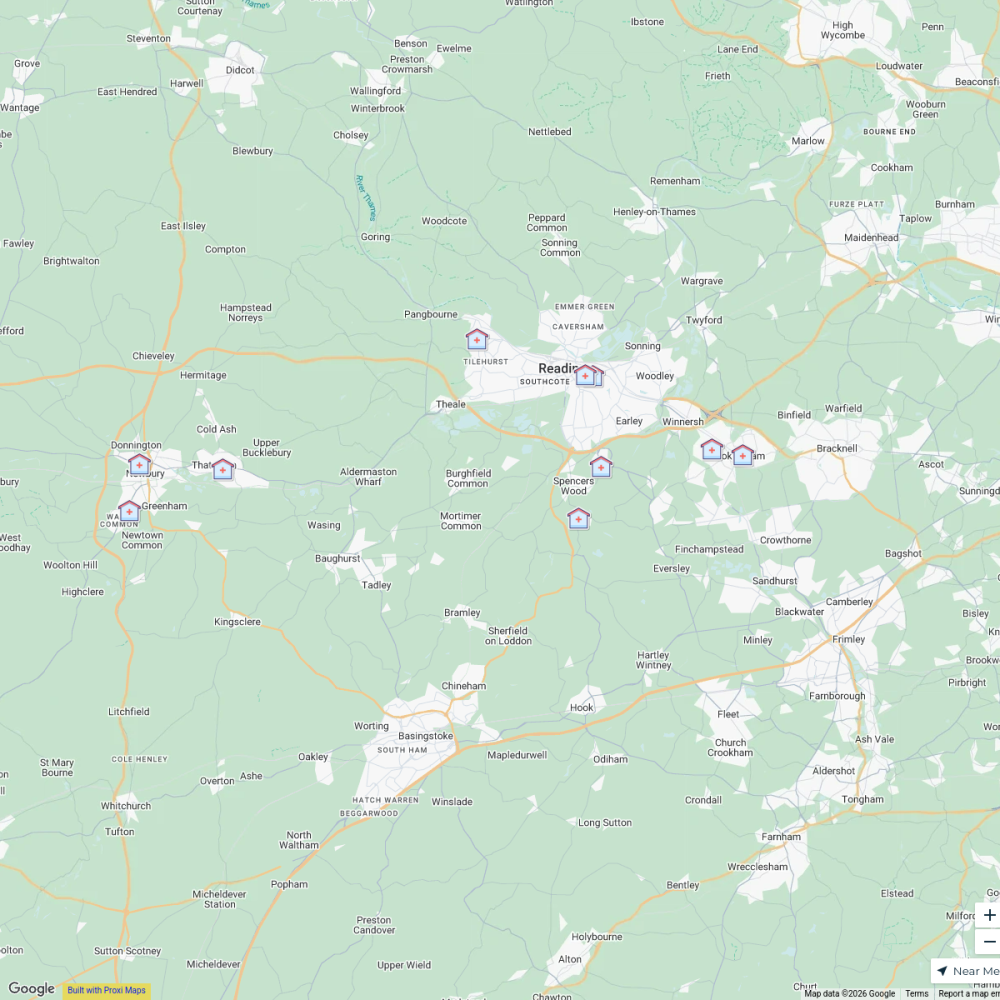
B-Well NHS Clinics, Berkshire West
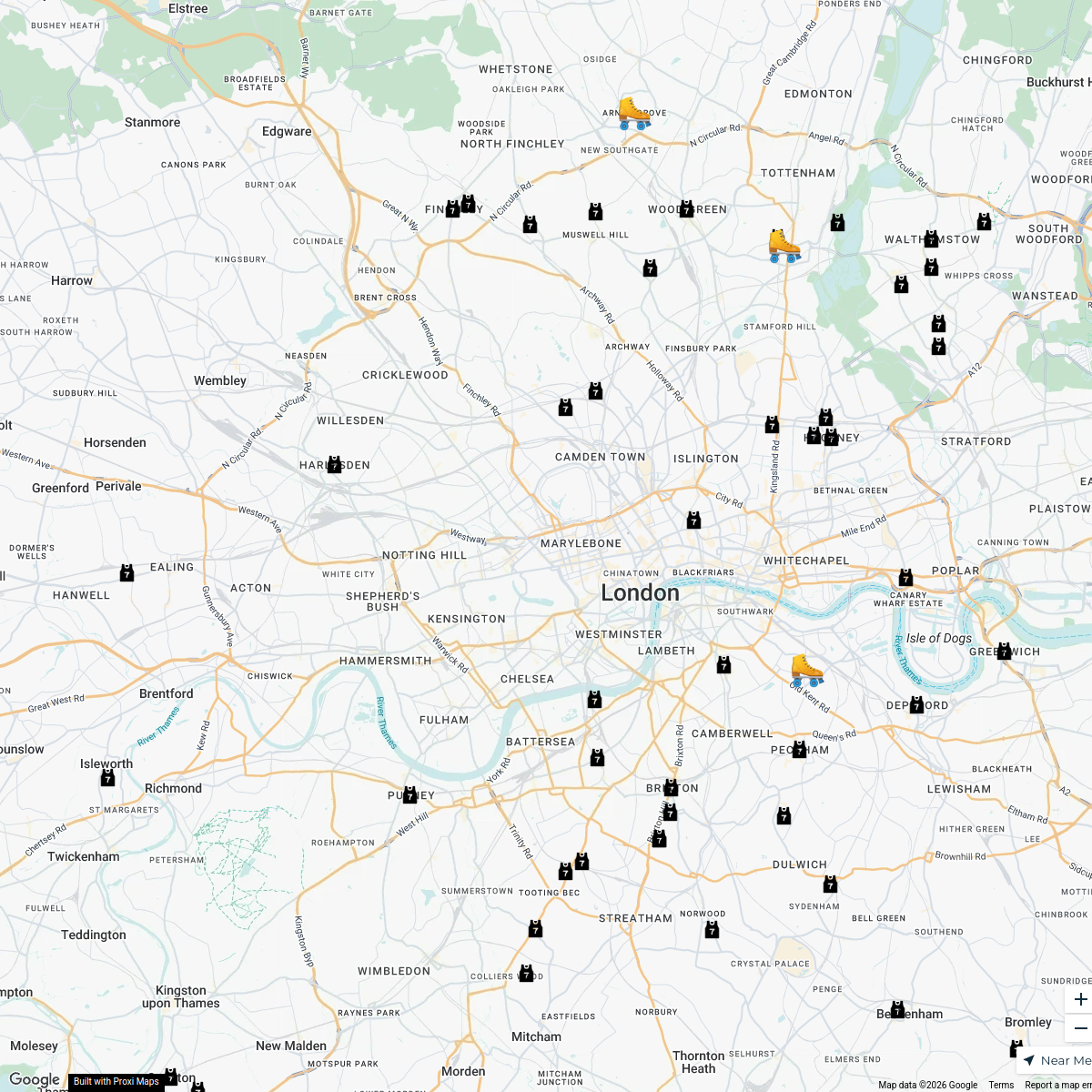
11 stopsvenkat.tikkireddi's WorkspaceLondon Roller Derby
76 stopskatylw123's WorkspaceFlexi
188 stopsp.grant's WorkspaceUK Trip
15 stops Aditya Santhanam's Workspace
This map was made with Proxi
Have a main street, a market, or a story worth walking? Make your own map in a few minutes.