
Map · 15 places
Emergency Services in Stafford
A detailed map showcasing emergency services located in and around Stafford, UK, including police stations, fire departments, and hospitals. This map aims to enhance community awareness and accessibility to emergency services.
Made with ProxiUpdated Dec 2024
- Churches/Gurdwara 6
- Foodbanks 5
- Hospitals 3
- Ambulance Services 1
Places on This Map
15 places · 4 groupsNearby Maps
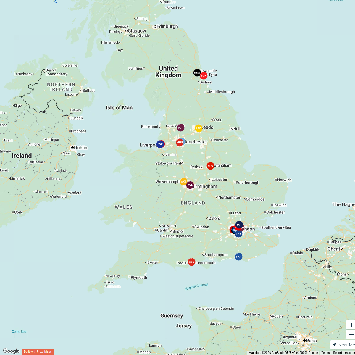
Premier League Clubs Map
20 stops jake's Workspace
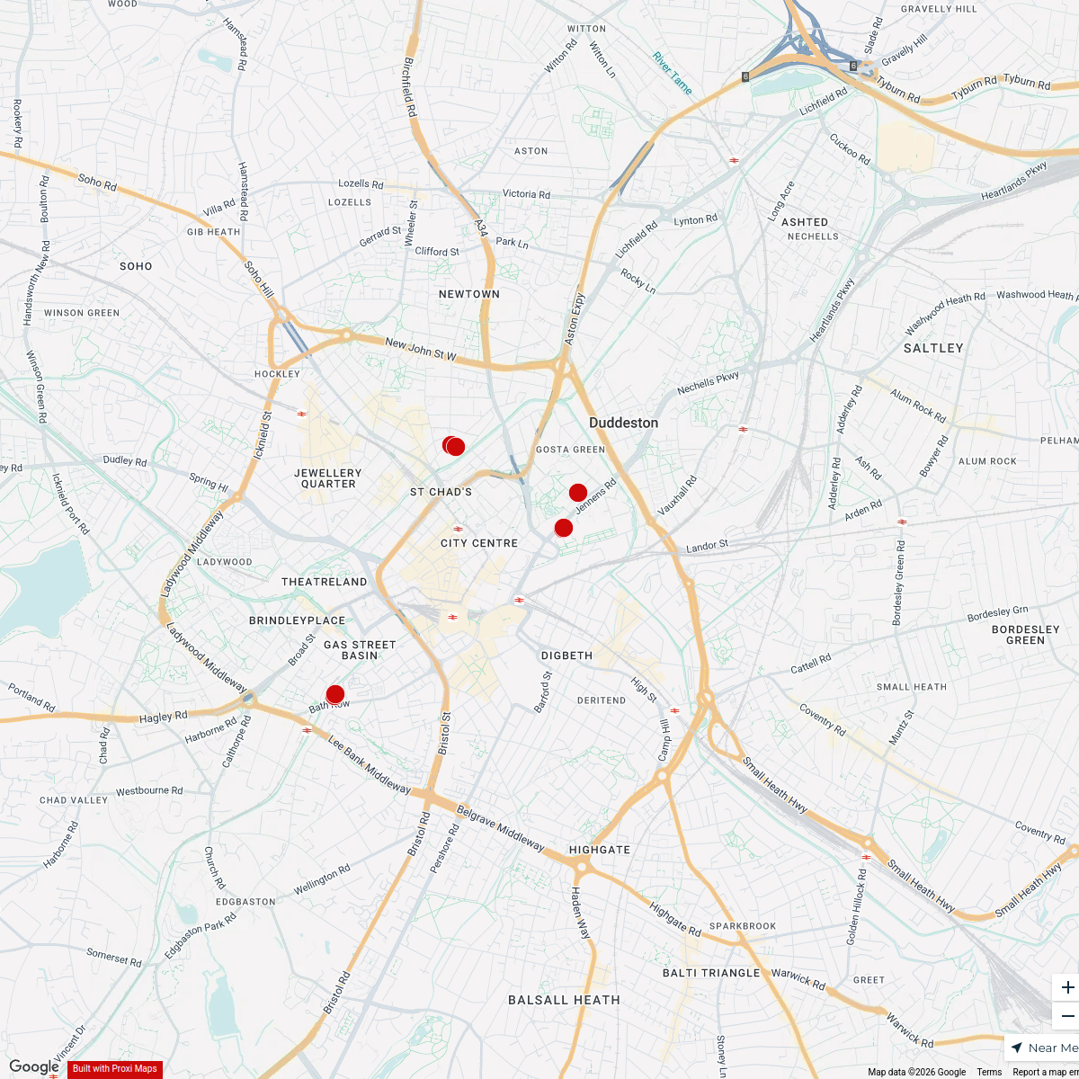
Birmingham Nechells Ward Boundary Map
15 stops · Birmingham, UK steve11oct2's Workspace
First Love BCU Fellowships
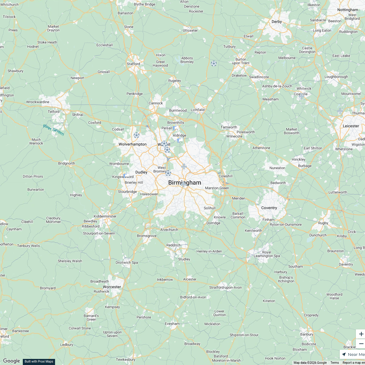
7 stops · Birmingham, UKNathan Tenkorang's WorkspaceBirmingham Futsal Venues
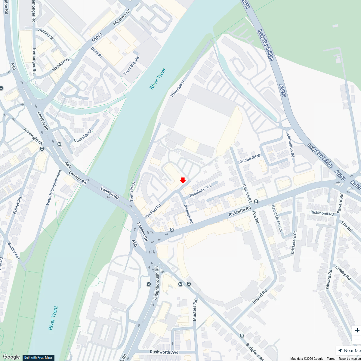
15 stops · Birmingham, UKbenbond306's WorkspaceMusic Venues Near Nottingham Forest
7 stops · Nottingham Forest Football Club Ticket Office, Pavilion Road, West Bridgford, Nomowen's WorkspaceMap of Premier League Teams
20 stops · England, UKAndrew Swinney's Workspace


This map was made with Proxi
Have a main street, a market, or a story worth walking? Make your own map in a few minutes.