
Map · 6 places
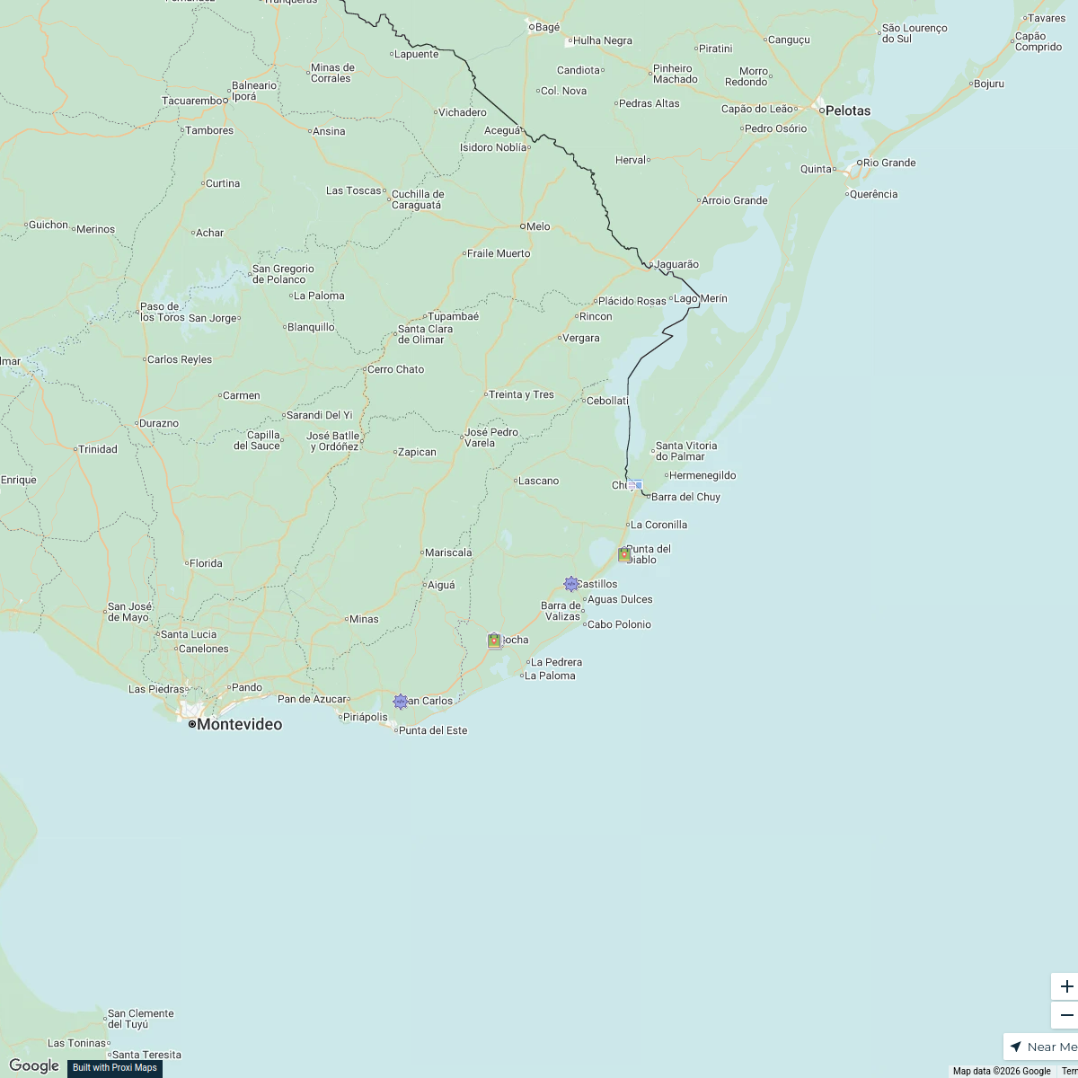
Santa Teresa Itinerary Map
A curated map showcasing key highlights for a two-day trip to Fortaleza de Santa Teresa, including natural parks, historical sites, and beaches.
Made with ProxiUpdated Dec 2024
- Beach 1
- Educational Center 1
- Historical Site 1
- Museum 1
- National Park 1
- Nature Park 1
Places on This Map
6 places · 6 groupsNearby Maps
Rural Schools of Rocha
20 stops · Departamento de Rocha, Uruguay Gabriela Iturria's Workspace
Community Map
Free Campsites Journey
15 stops · Chuí, Chui - RS, 96255-000, BrazilShared by the Proxi communityCommunity Map
Uruguay Map for OMSI2
15 stops · UruguayShared by the Proxi communityCommunity Map
Uplifting Uruguayan Explorations
4 stops · UruguayShared by the Proxi community Community Map
Custom map in Avenida Oswaldo Aranha, Porto Alegre, Brazil
8 stops · Av. Osvaldo Aranha, Porto Alegre - RS, BrazilShared by the Proxi communityCommunity Map
PONTOS DE FRONTEIRAS ALFANDEGADOS
25 stops · BrazilShared by the Proxi community
This map was made with Proxi
Have a main street, a market, or a story worth walking? Make your own map in a few minutes.