
Map · 18 places · Santa Monica, CA
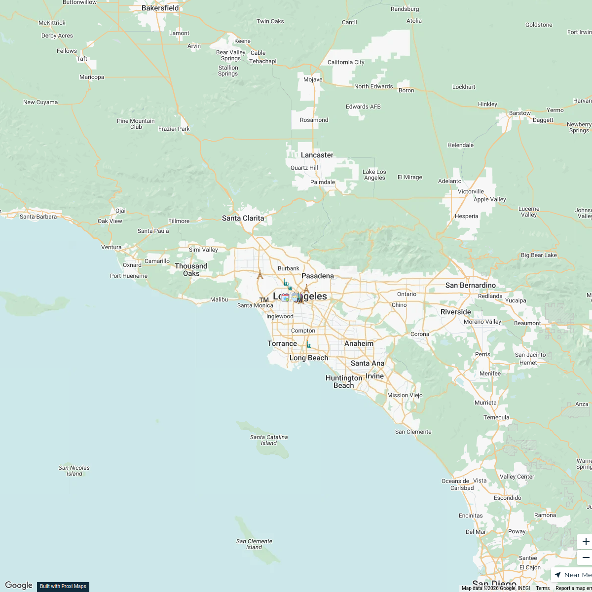
Los Angeles Transportation Map
A detailed map showcasing the transportation systems in Los Angeles, including public transit routes, major highways, bike lanes, and pedestrian pathways. This map will help users navigate the diverse transportation options available in the city, focusing on connectivity and accessibility.
Made by Riya Khagesh Desale's WorkspaceUpdated Dec 2024
- food fest 4
- cultural 3
- Music 2
Places on This Map
18 places · 3 groupsNearby Maps
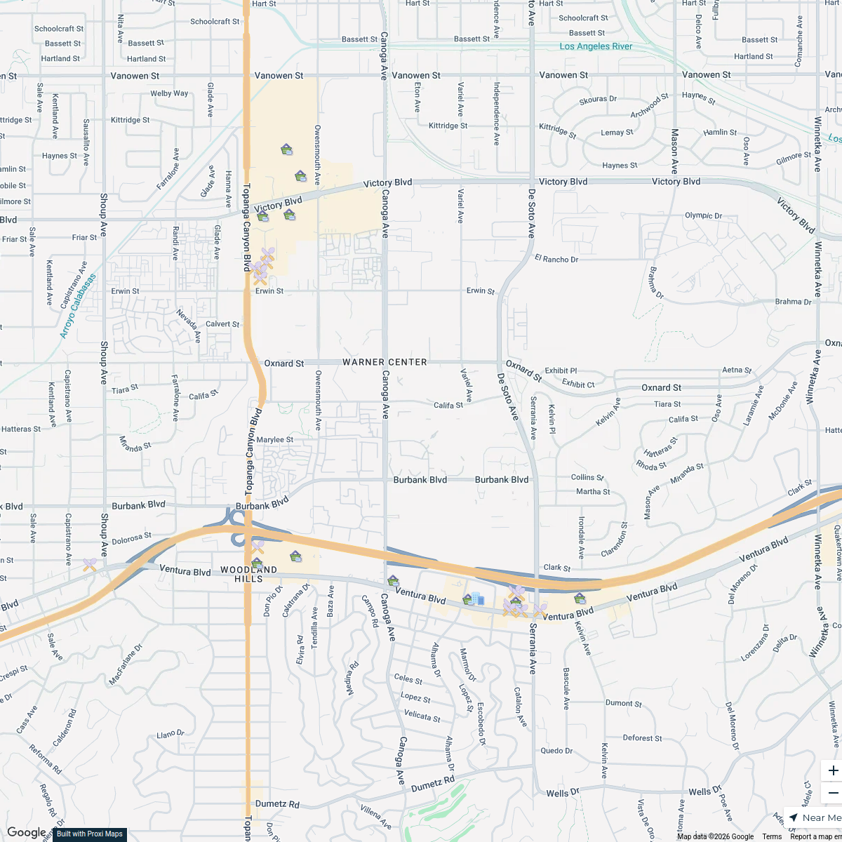
Stores Nearby
25 stops drmoersch's Workspace
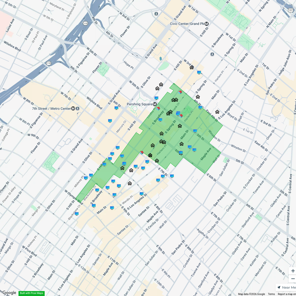
Historic Core Properties
64 stops Sarah Kales's Workspace
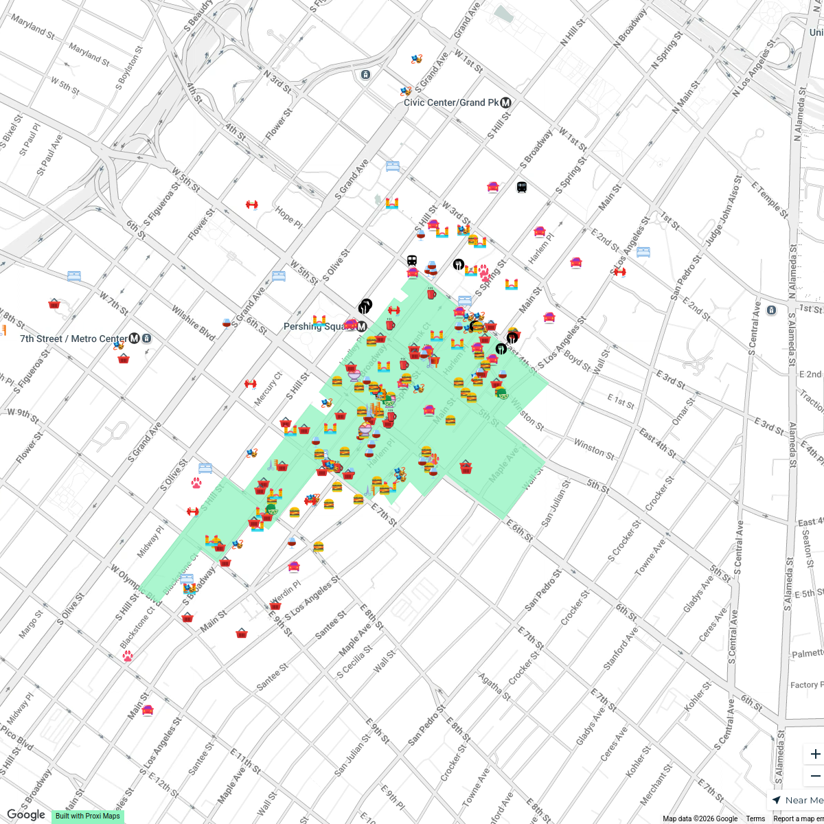
Historic Core
212 stopsSarah Kales's Workspace19th Century South Africa and Los Angeles
17 stops · Los Angeles, CA, USA Leon Figgins's Workspace
2026 Pasadena Wellness Crawl Businesses
11 stopsYogaSix PasadenaDine Out Long Beach | Feb 18 - 28
49 stops · SALTWATER DECK, East Ocean Boulevard, Long Beach, CA, USADine Out Long Beach


This map was made with Proxi
Have a main street, a market, or a story worth walking? Make your own map in a few minutes.