
Map · 14 places · Masonboro, NC
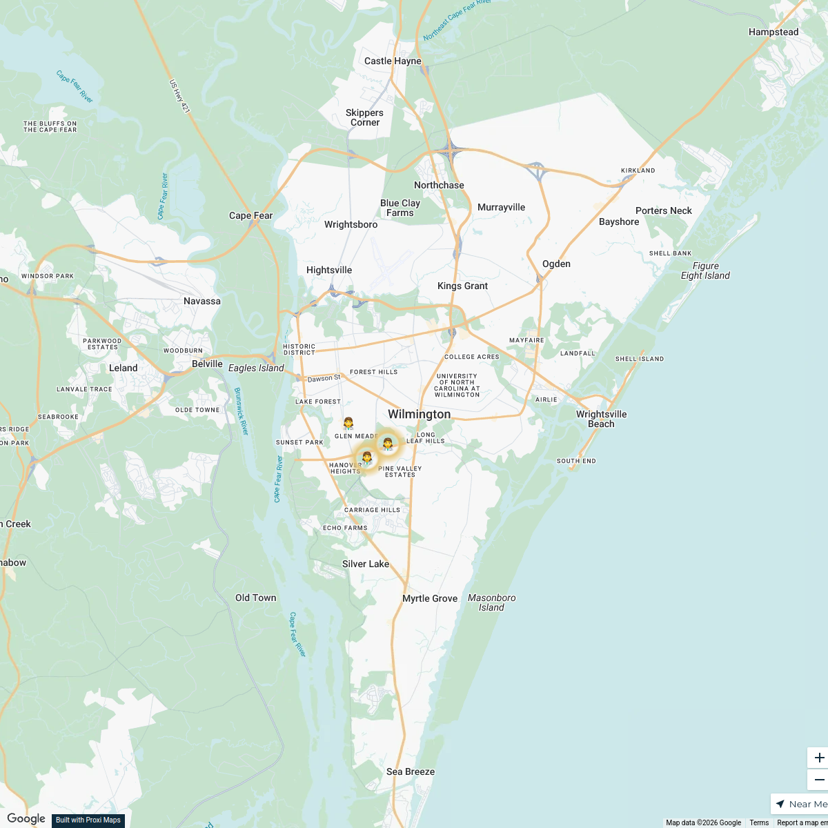
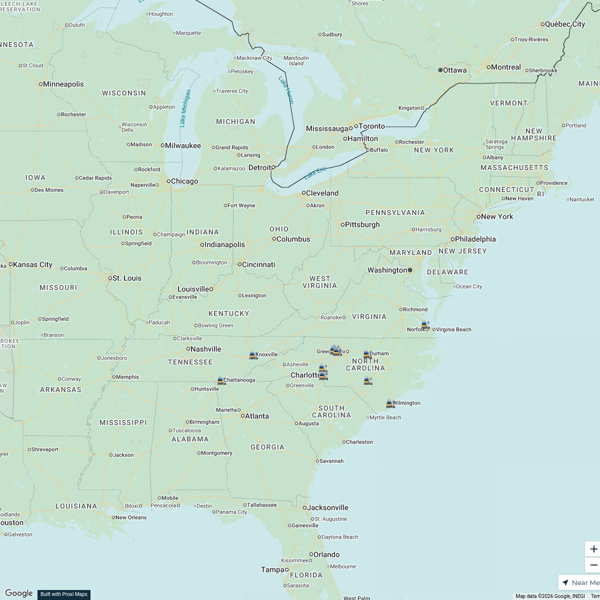
Wilmington Property Boundary Map
This map illustrates the delineated area in Wilmington, NC, defined by the boundaries of Wooster Street to Oleander Drive/Hwy 76 on the north, Sanders Road on the south, College Road on the east, and the Cape Fear River on the west. It showcases buildings and properties that fall within these boundaries, making it a useful reference for urban planning, property management, and community engagement.
Made with ProxiUpdated Dec 2024
- Properties 5
- Buildings 4
- Community Engagement 3
- Urban Planning 2
Places on This Map
14 places · 4 groupsNearby Maps
Wilmington Asset to Hospital Map
3 stops · Wilmington, NC, USA jmunst19's Workspace
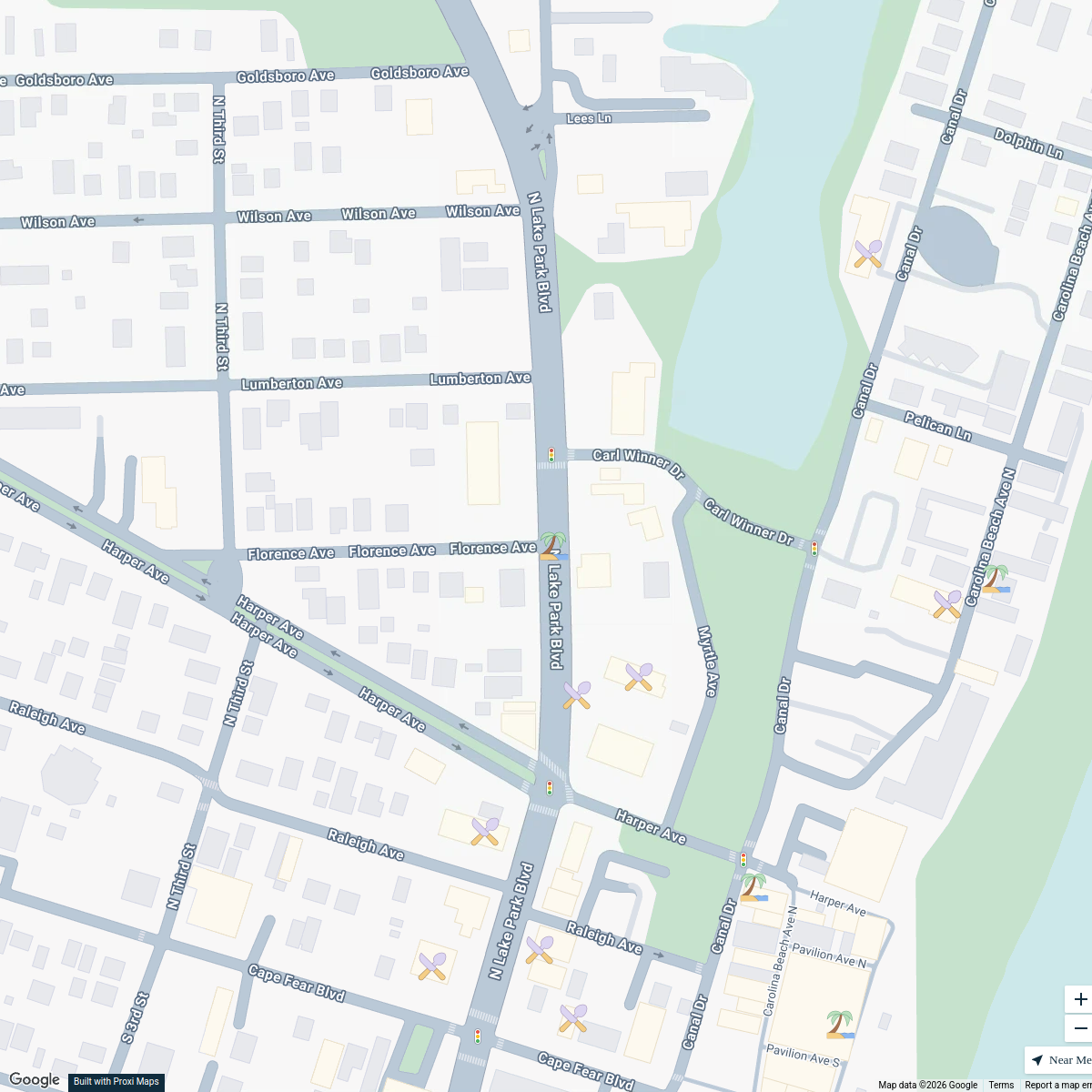
Carolina Beach Points of Interest Map
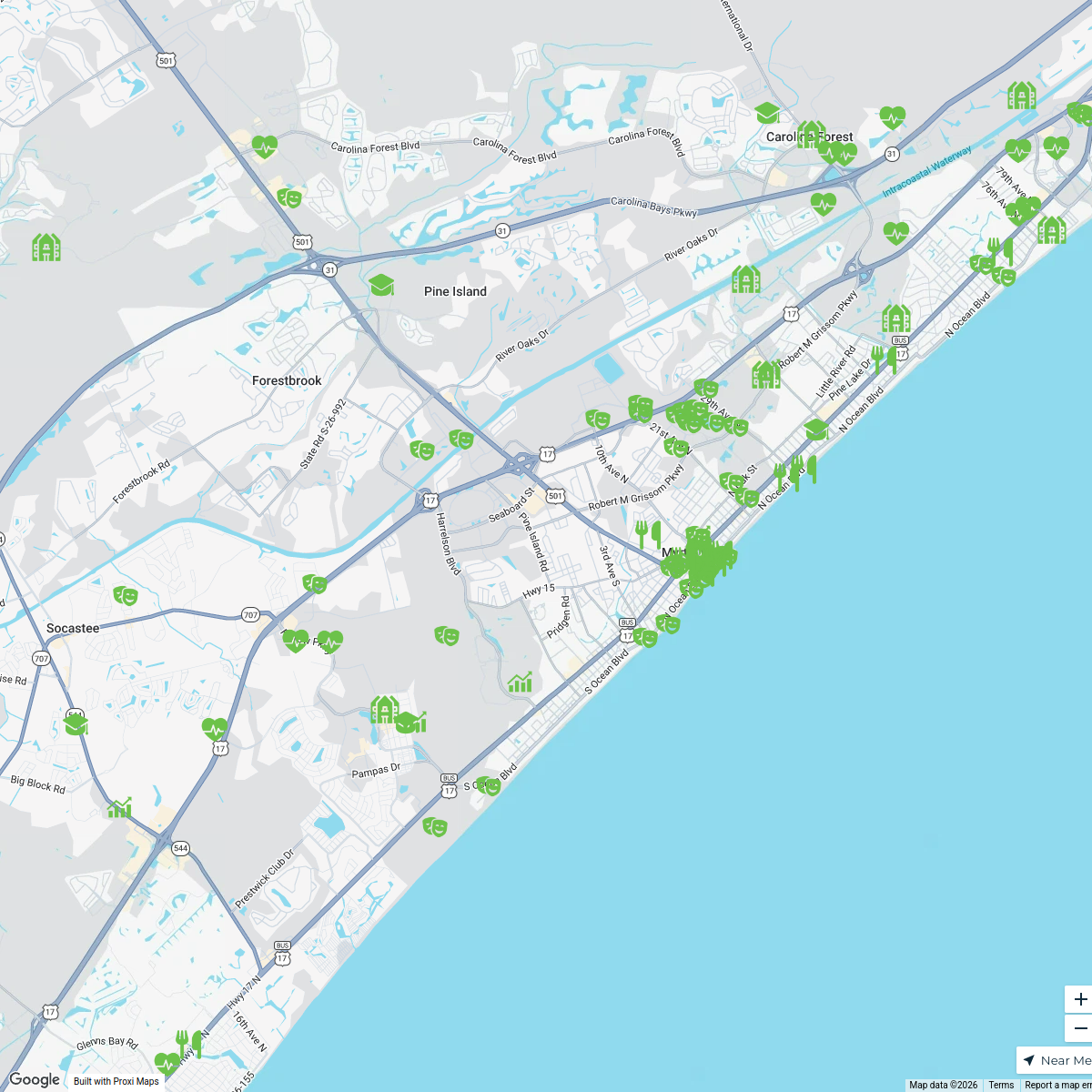
25 stops · Carolina Beach, NC 28428, USABrian Keith's WorkspaceMyrtle Beach, SC - Livability.com
154 stops Livability
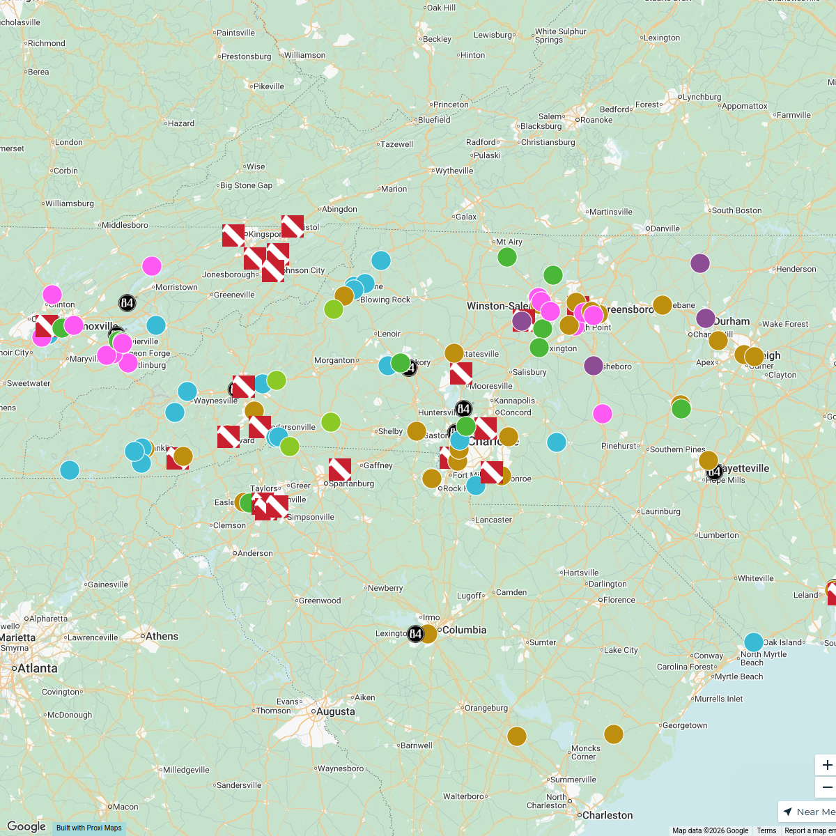
Timber Frame Companies in North Carolina
150 stops gwalker's Workspace
CNG Southern Region Map
18 stops Ace Evans's Workspace
SSFS Dispatch
30 stops · New York, NY, USAaccounting's Workspace

This map was made with Proxi
Have a main street, a market, or a story worth walking? Make your own map in a few minutes.