
Map · 14 places
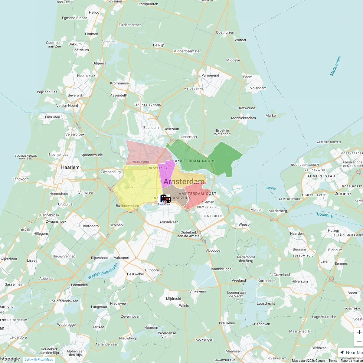
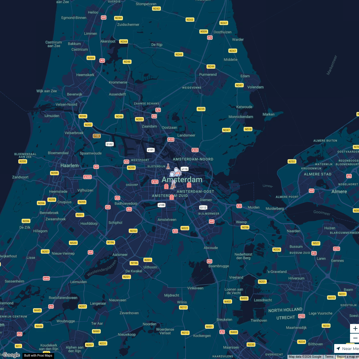
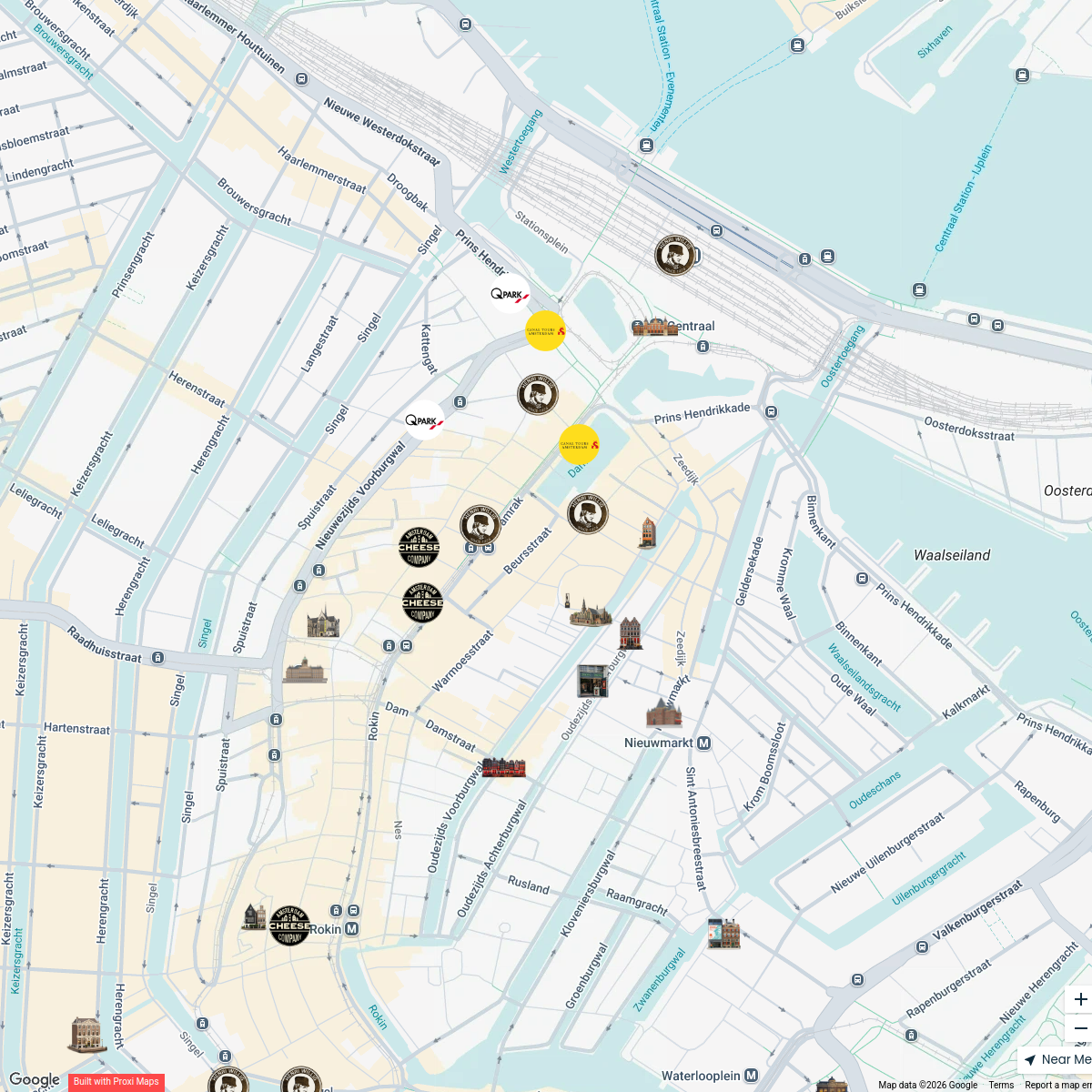
Hoyt Model Map of Amsterdam
A detailed map showcasing the locations and features of the Hoyt Model in Amsterdam, Netherlands, capturing the essence of the city's urban landscape and planning characteristics.
Made with ProxiUpdated Dec 2024
- High Class Residential Zones 5
- Central Business District 4
- Transportation 3
- Industrial zones 2
Places on This Map
14 places · 4 groupsNearby Maps
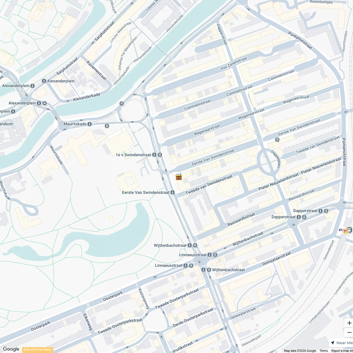
Korean Restaurant Amsterdam
21 stops · Kim's So Korean Food Oost, NL, Linnaeusstraat 35F, 1093 EE Amsterdam, Netherland bethalmoore's Workspace
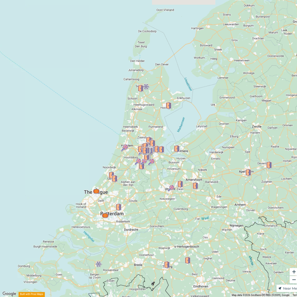
NL Halloween Trick-Or-Treat
166 stops · Amsterdam, Netherlandsmeek606's WorkspaceByteDance Apartments in Amsterdam
14 stops · Amsterdam, Netherlandsswing.goh's WorkspaceSoho House Amsterdam Recommendations
12 stops · Amsterdam, Netherlandsdaranee.sinot's WorkspaceAmsterdam Museums and Activities
72 stops Isabella Quesada Herran's Workspace
Haarlem Halloween 2026
52 stops · Haarlem, NetherlandsHaarlem Halloween

This map was made with Proxi
Have a main street, a market, or a story worth walking? Make your own map in a few minutes.