
Map · 14 places
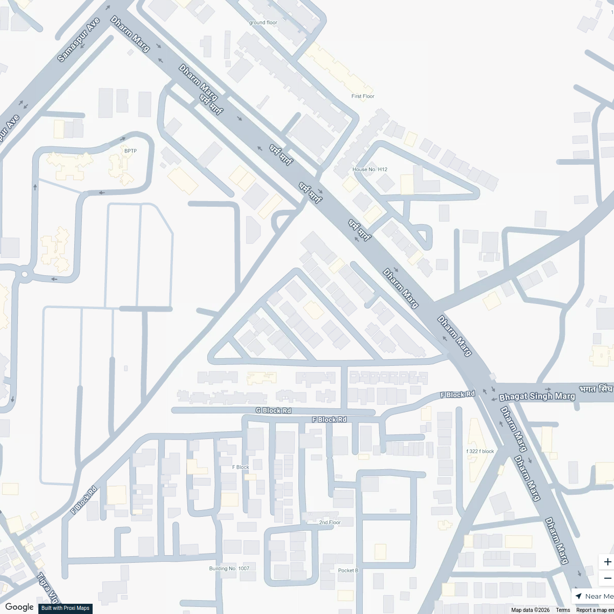
Karampura Health Care Facilities Map
A comprehensive map showcasing various health care facilities in and around Karampura, Delhi. This includes government and private hospitals, dispensaries, mohalla clinics, polyclinics, and health centers to facilitate easy access to health care services for residents.
Made with ProxiUpdated Dec 2024
- Charitable Institutions 2
- Government Hospitals 2
- Health and Wellness Centres 2
- Mohalla Clinics 2
- Private Clinics 2
- Urban Primary Health Centres 2
- Dispensaries 1
- Polyclinics 1
Places on This Map
14 places · 8 groupsNearby Maps
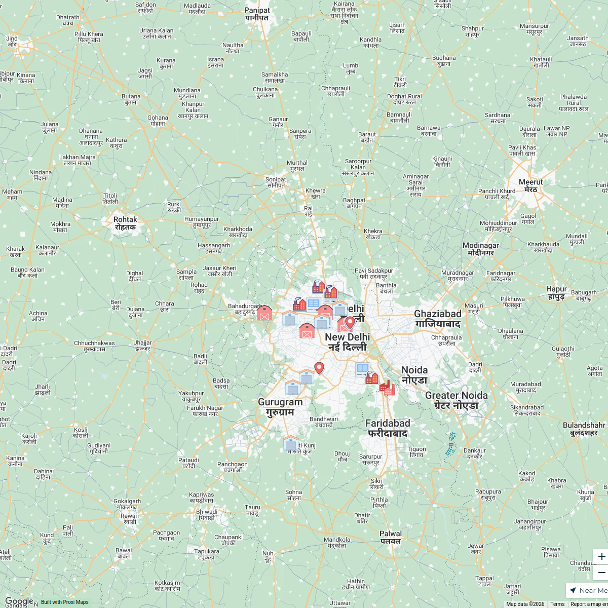
Delhi Industrial Area Map
24 stops · Delhi, India Sanya Aggarwal's Workspace
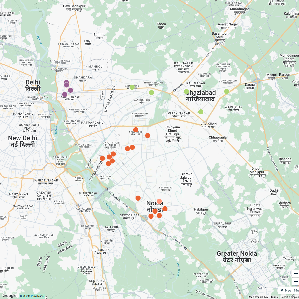
Gautam Budh Nagar District Map
25 stops Janpahal's Workspace
Best CBSE Schools in Gurgaon
1 stop · G Block, Sector 57, Gurugram, Haryana 122003, India Gitanjali International School Gurgaon's Workspace
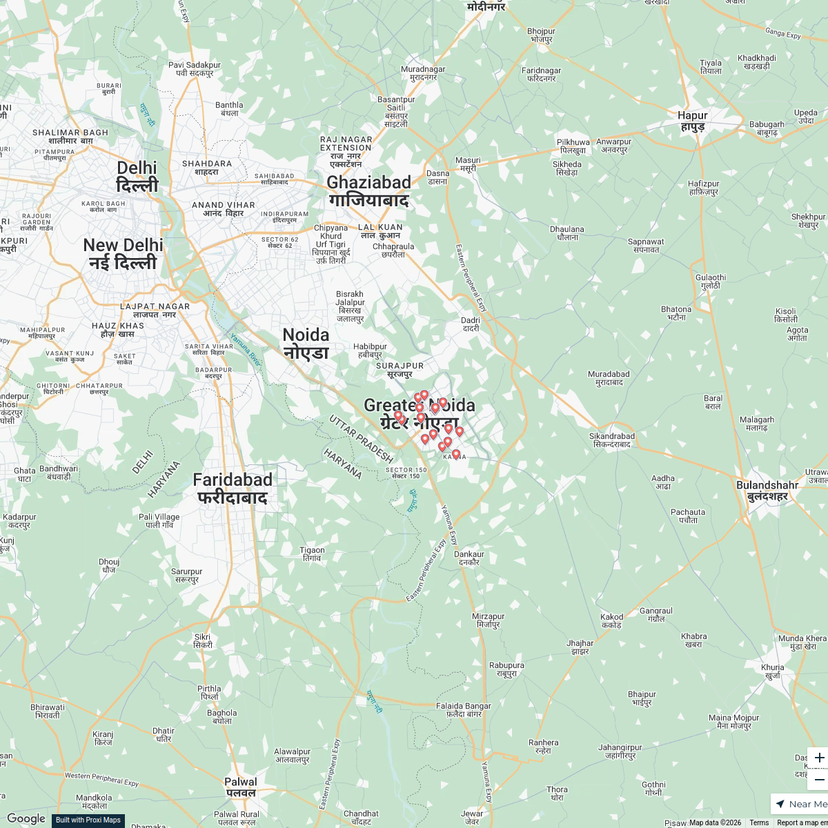
Greater Noida College Map
17 stops · Greater Noida, Uttar Pradesh, IndiaGAURAV YADAV's WorkspaceCollege
16 stops · Greater Noida, Uttar Pradesh, IndiaGAURAV YADAV's WorkspaceLimited Edt Stores
14 stops · Singapore marcomm's Workspace

This map was made with Proxi
Have a main street, a market, or a story worth walking? Make your own map in a few minutes.