
Map · 21 places
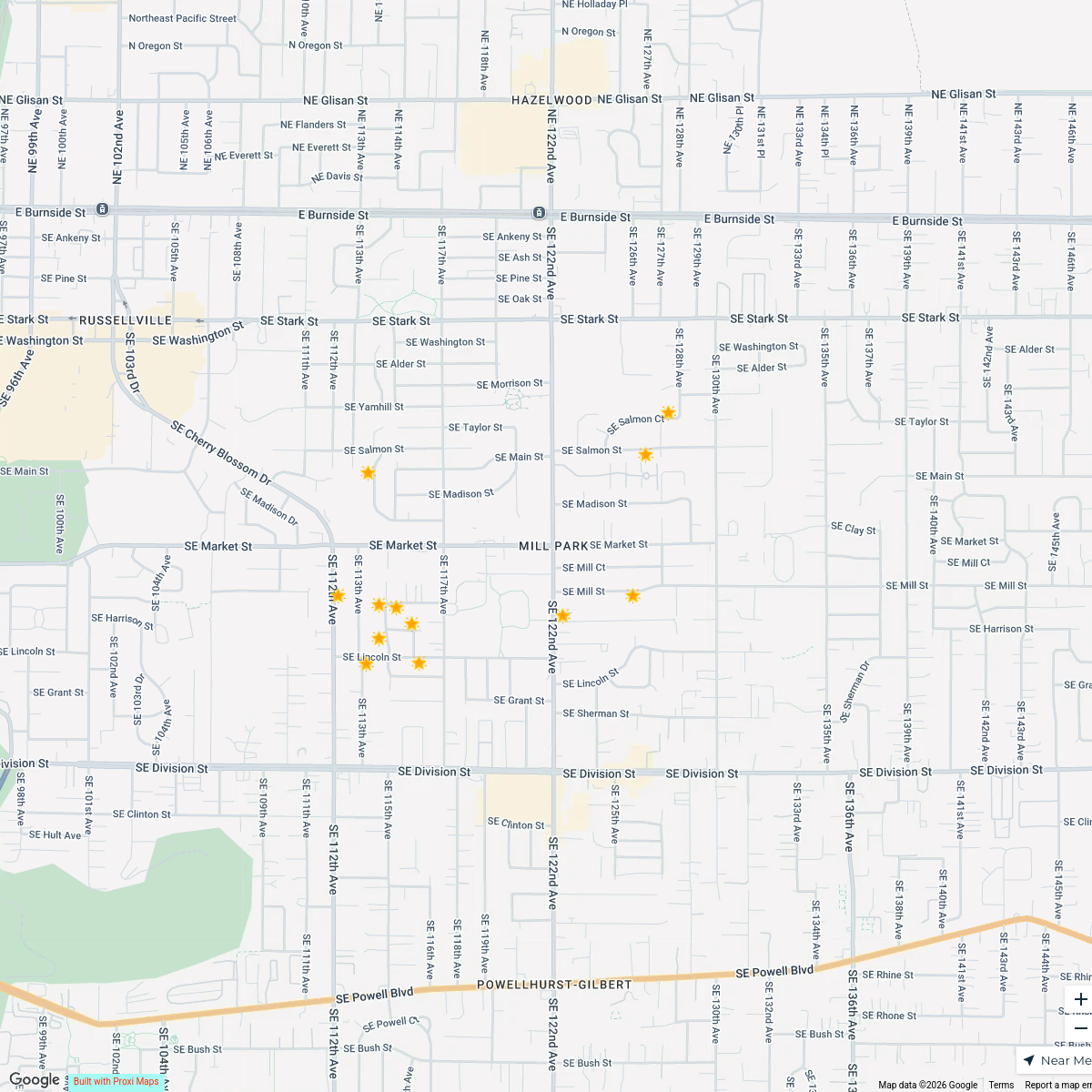
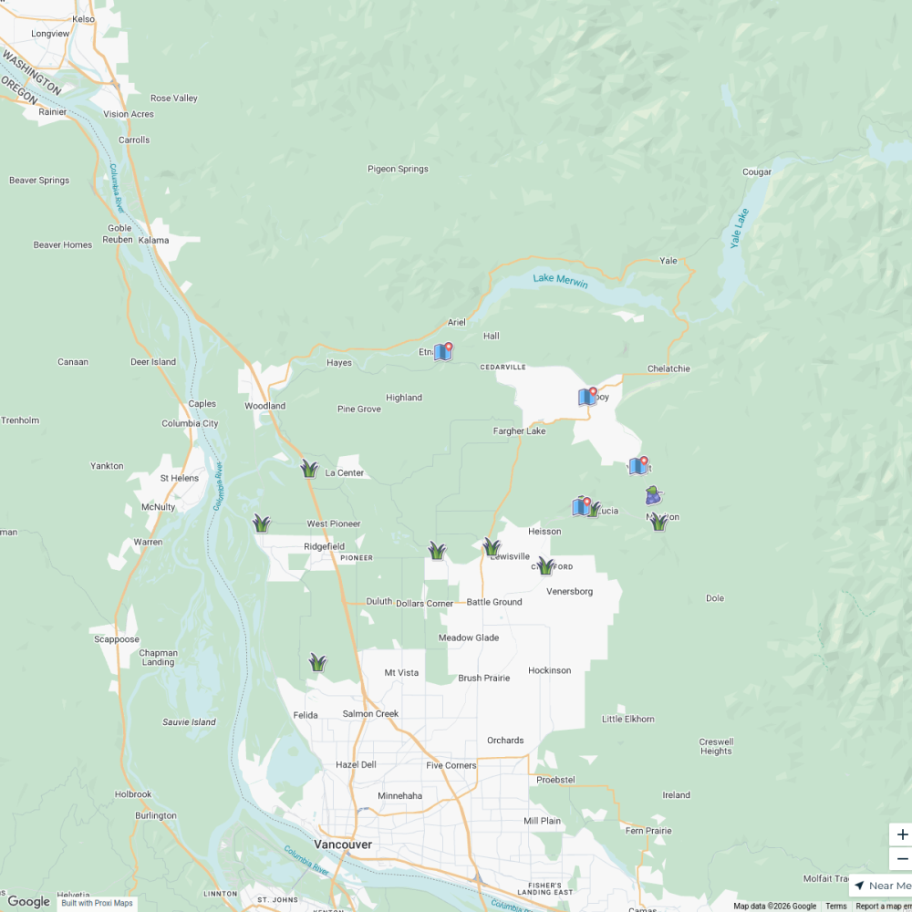
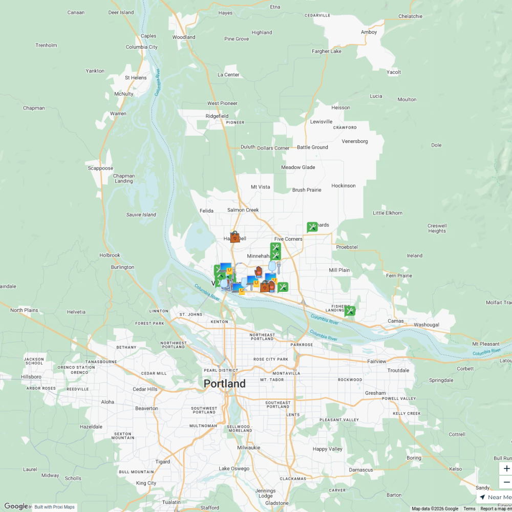
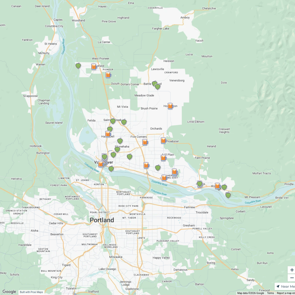
Portland Tram Accessibility Map
A detailed map showcasing all locations around Portland, OR that are accessible via the tram system. This map aims to assist residents and visitors in navigating the city's public transportation options effectively.
Made with ProxiUpdated Nov 2024
- Shopping Areas 5
- Cafes and Restaurants 3
- Cultural Sites 3
- Parks and Recreation 3
- Public Transportation 3
- Tram Stations 3
- Stores 1
Places on This Map
21 places · 7 groupsNearby Maps
Portland happy hours
30 stops · Portland, OR, USA PDXtoday
Portland filming locations
40 stops · Downtown Portland, Portland, OR, USAPDXtodayLet It Glow Festival Map 2025
12 stops · Mill Park, Portland, OR, USA Allyson O'Hagan (Portland, OR Realtor)'s Workspace
Downtown & Uptown Vancouver, WA Mural Map
90 stops · 1220 Main Street, Vancouver, WA, USA Visit Vancouver WA's Workspace
Black-Owned Businesses in Vancouver
33 stops · Minnehaha, WA, USAVisit Vancouver WA's WorkspaceVancouver, WA Breweries & Taprooms
44 stops · North Image, Vancouver, WA, USAVisit Vancouver WA's Workspace

This map was made with Proxi
Have a main street, a market, or a story worth walking? Make your own map in a few minutes.