
Map · 16 places · Whitby, Ontario
Oshawa Go Station Area Map
A map highlighting key locations within a 500m radius of Oshawa Go Station.
Made with ProxiUpdated Nov 2024
- Park 3
- Art Gallery 2
- Educational Institute 2
- Art Association 1
- Golf Course 1
- Harbour 1
- Historical Site 1
- Library 1
- Museum 1
- Shopping Mall 1
- Sports Arena 1
- Transportation 1
Places on This Map
16 places · 12 groupsNearby Maps
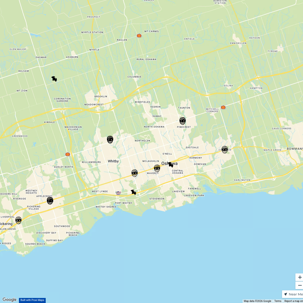
Halloween Haunts in Durham Region
25 stopsDurham Life
Mother's Day Specials
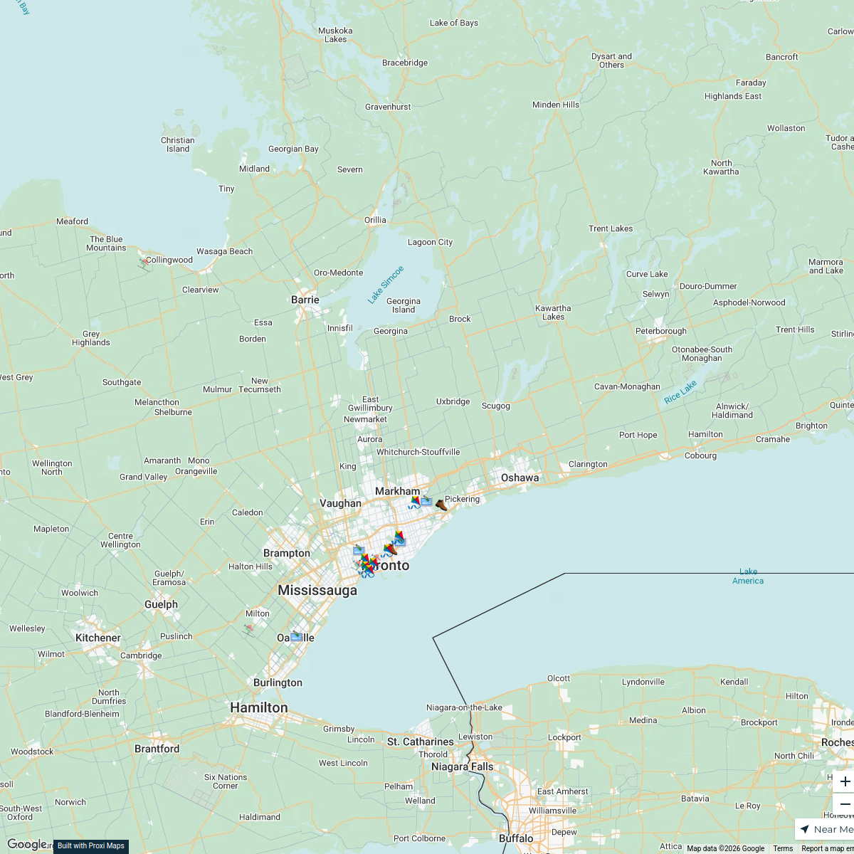
7 stopsRiver Trails of Greater Toronto Area
20 stops · Greater Toronto Area, ON, Canada clifford.rutledge's Workspace
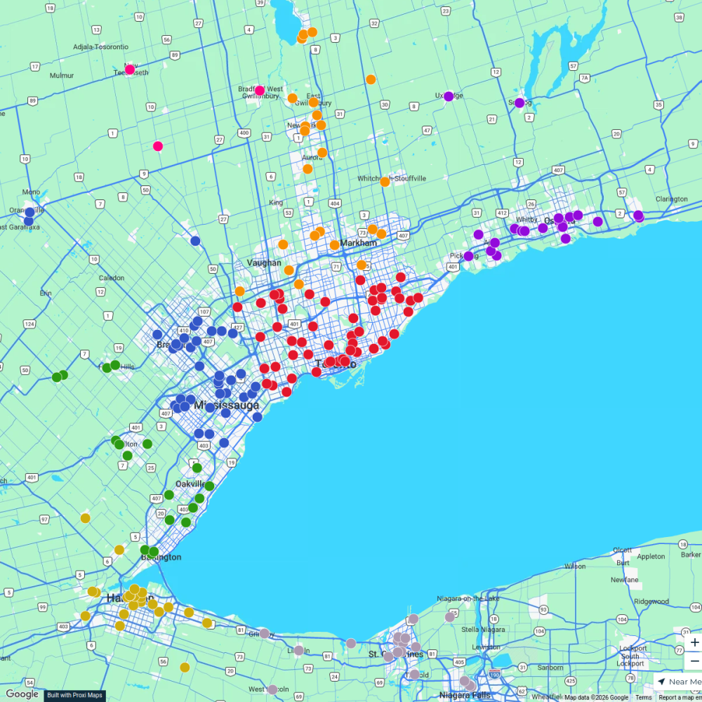
Ontario Food Banks
500 stops Ameen Ahmed's Workspace
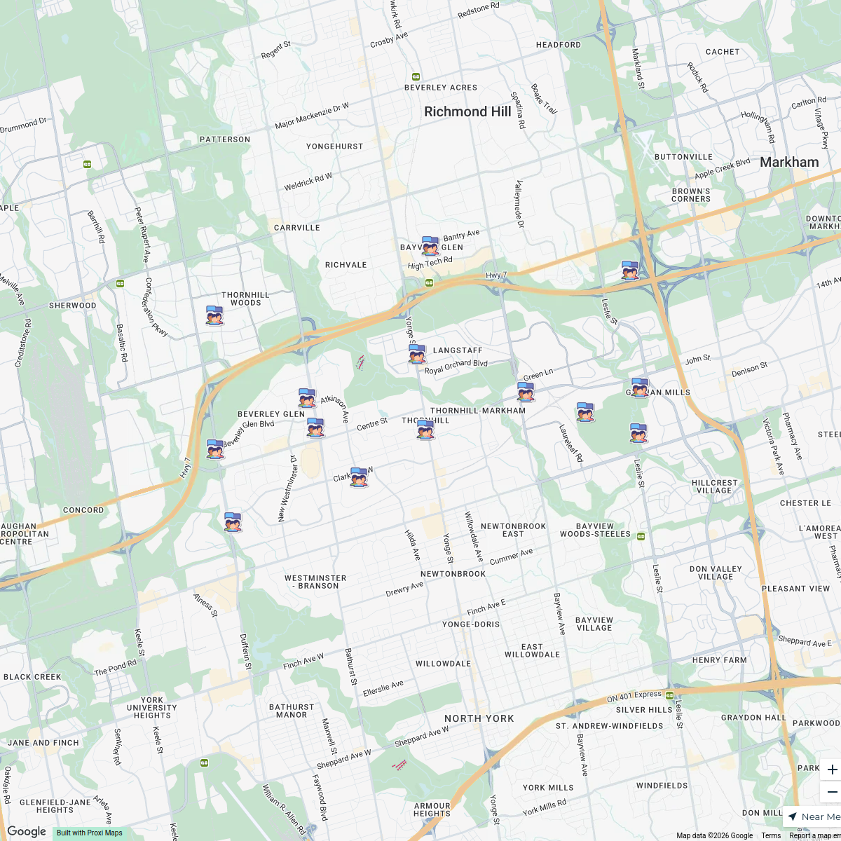
Thornhill Community Map
14 stops · Thornhill, Vaughan, ON, Canada VPLMaker 5's Workspace
Toronto Overview Map
6 stops gabriellelamadeleine's Workspace

This map was made with Proxi
Have a main street, a market, or a story worth walking? Make your own map in a few minutes.