
Map · 19 places
Somalia Transport Network
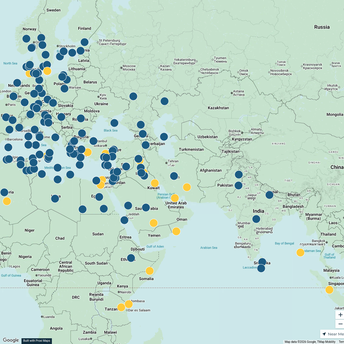
A detailed map showcasing the various modes of transport across Somalia, including roads, railways, airports, and marine routes. This map will aid in understanding the transportation infrastructure within Somalia and its connectivity to neighboring regions.
Made by Yahya Ali's WorkspaceUpdated Nov 2024
- Logistics Centers 7
- Airports 3
- Border Crossings 3
- Public Transport 2
- Seaports 2
- Road Infrastructure 1
- Transport Hubs 1
Places on This Map
19 places · 7 groupsNearby Maps
Tourist Attractions in France
328 stops anders.winroth's Workspace
Community Map
Somalia Geopolitical and Urban Layout
10 stops · SomaliaShared by the Proxi communityCommunity Map
Tour of Somalia
12 stops · SomaliaShared by the Proxi communityCommunity Map
Somalia Wonders
15 stops · SomaliaShared by the Proxi communityCommunity Map
Countries in the Middle East and Africa
19 stops · SomaliaShared by the Proxi communityCommunity Map
Water and Food Shortage Map of Somalia
15 stops · SomaliaShared by the Proxi community
This map was made with Proxi
Have a main street, a market, or a story worth walking? Make your own map in a few minutes.