
Map · 14 places
Zones of Quetta City
A detailed map showcasing the various zones within Quetta City, highlighting significant areas and facilities for residents and visitors.
Made with ProxiUpdated Nov 2024
- Residential Areas 4
- Cultural Sites 2
- Healthcare Facilities 2
- Parks and Recreation 2
- Transportation Hubs 2
- Commercial Zones 1
- Educational Institutions 1
Places on This Map
14 places · 7 groupsNearby Maps
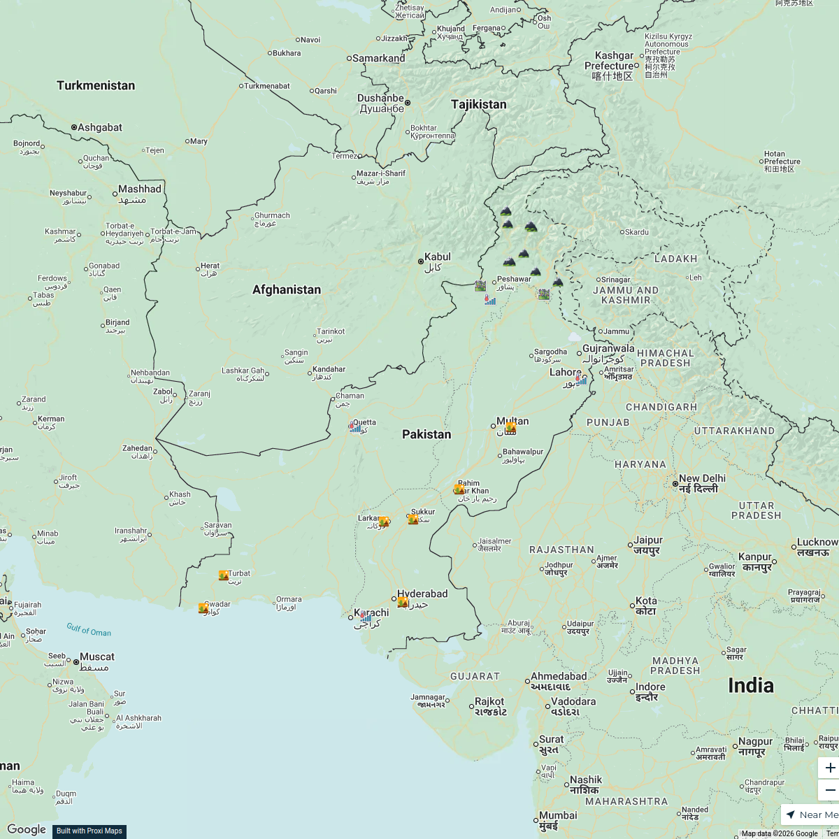
Climates of Pakistan
25 stops · Pakistan babarayoob9's Workspace
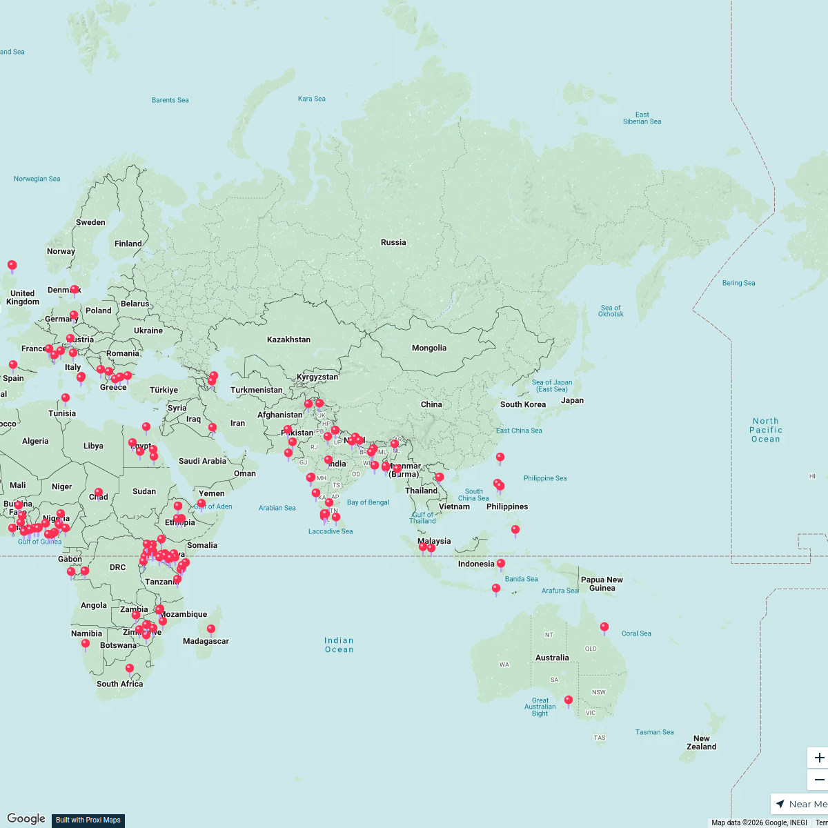
Global Cultural Heritage
168 stops · AsiaSania Irfan's WorkspaceVision Group / Groupe Vision
78 stopslghazaly's WorkspaceCommunity Map
Fiber-Optic Network Design Sites in Quetta
2 stops · Jinnah Rd, Quetta, PakistanShared by the Proxi communityCommunity Map
Quetta Fiber-Optic Network Infrastructure
12 stops · Jinnah Rd, Quetta, PakistanShared by the Proxi community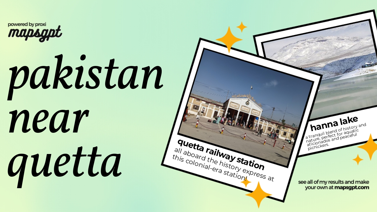 Community Map
Pakistan near Quetta
10 stops · Quetta, Balochistan, PakistanShared by the Proxi community
This map was made with Proxi
Have a main street, a market, or a story worth walking? Make your own map in a few minutes.