
Map · 16 places
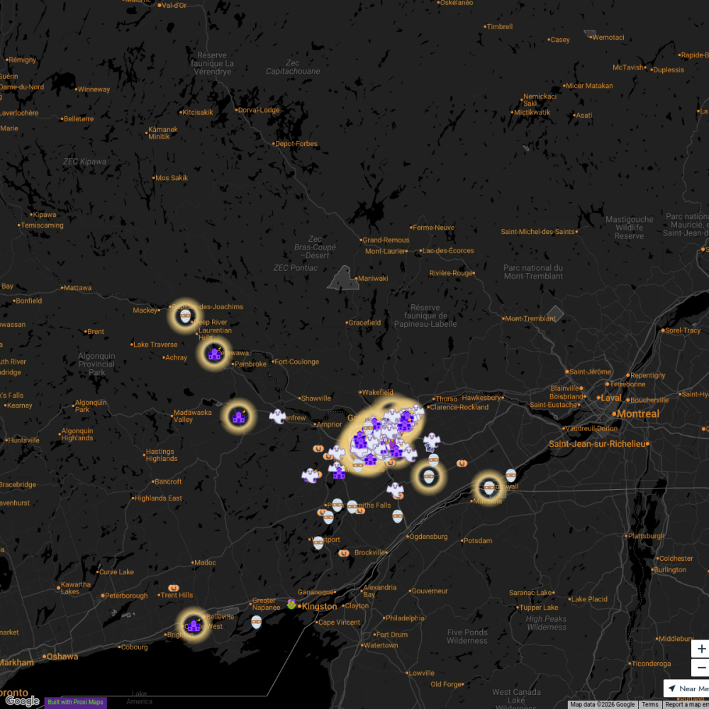
Ottawa City Map
A detailed map focused on the city of Ottawa, Ontario, highlighting key attractions, neighborhoods, and local amenities. Perfect for exploring the cultural and historical landmarks of Canada's capital city.
Made with ProxiUpdated Nov 2024
- Local Services 3
- Events 2
- Historical Sites 2
- Museums 2
- Parks 2
- Restaurants 2
- Shopping 2
- Public Transportation 1
Places on This Map
16 places · 8 groupsNearby Maps
Skate Trails Near Ottawa
7 stops · Ottawa, ON, Canada laurapaquet's Workspace
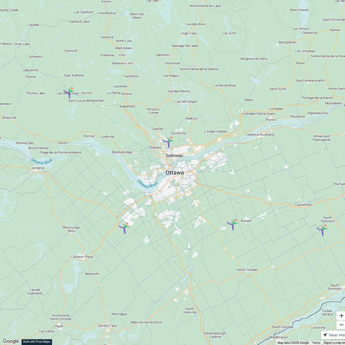
Explore613 Halloween Map 2024
255 stops Jessi @ Explore 613
Ottawa #Holidays613 Lights Map 2022
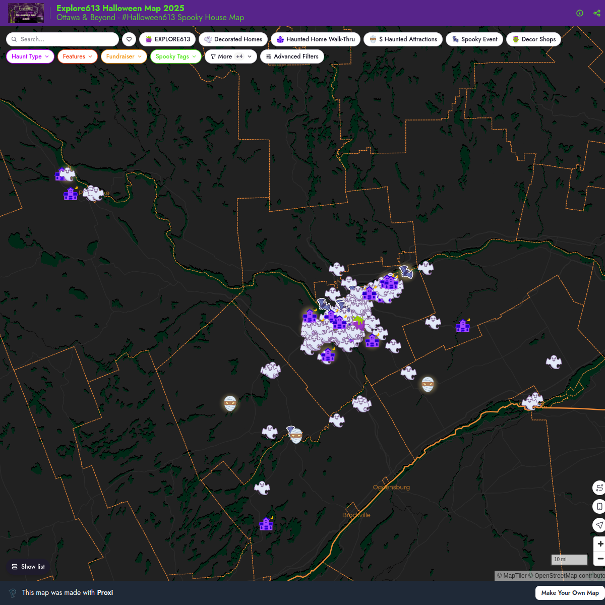
119 stops · Ottawa International Airport (YOW), Airport Parkway Private, Ottawa, ON, CanadaJessi @ Explore 613Explore613 Halloween Map 2025
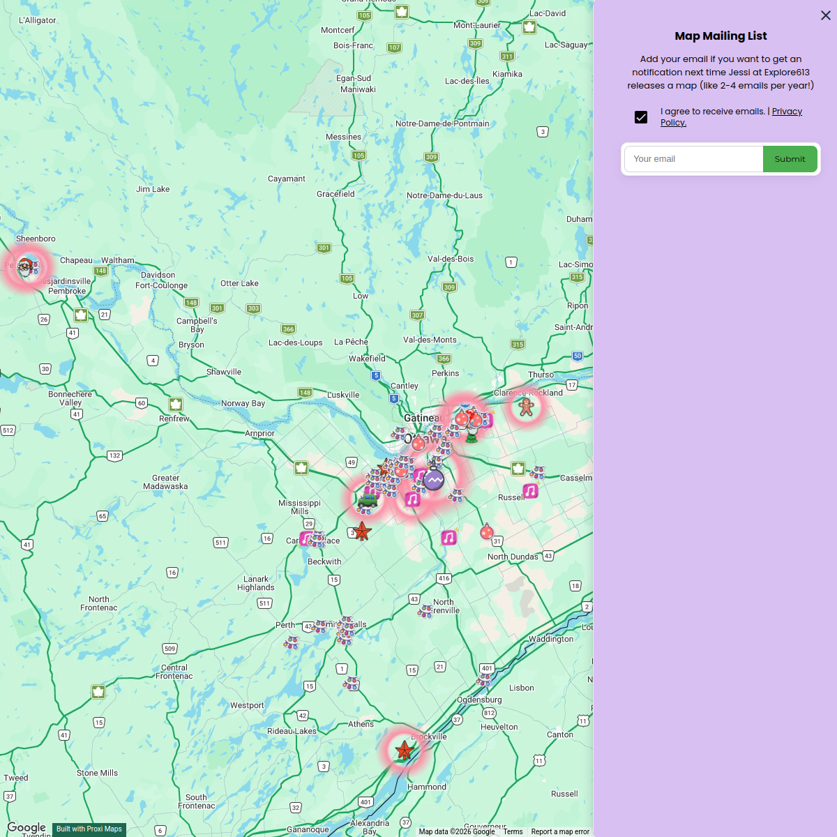
221 stopsJessi @ Explore 613Explore 613 Holiday Map 2024
66 stopsJessi @ Explore 613Explore613's Halloween Map 2023
200 stopsJessi @ Explore 613


This map was made with Proxi
Have a main street, a market, or a story worth walking? Make your own map in a few minutes.