
Map · 19 places · Guelph, Ontario
Guelph Neighborhood Map
A detailed map focusing on the area surrounding 457 Edinburgh Road in Guelph, Ontario, highlighting local amenities, parks, schools, and points of interest.
Made with ProxiUpdated Nov 2024
- Schools 6
- Health Services 3
- Parks and Recreation 3
- Public Transport 3
- Shopping and Dining 3
- Residential Areas 1
Places on This Map
19 places · 6 groupsNearby Maps
Sparkle Spectacle Holiday Lights
1 stop OBSERVER
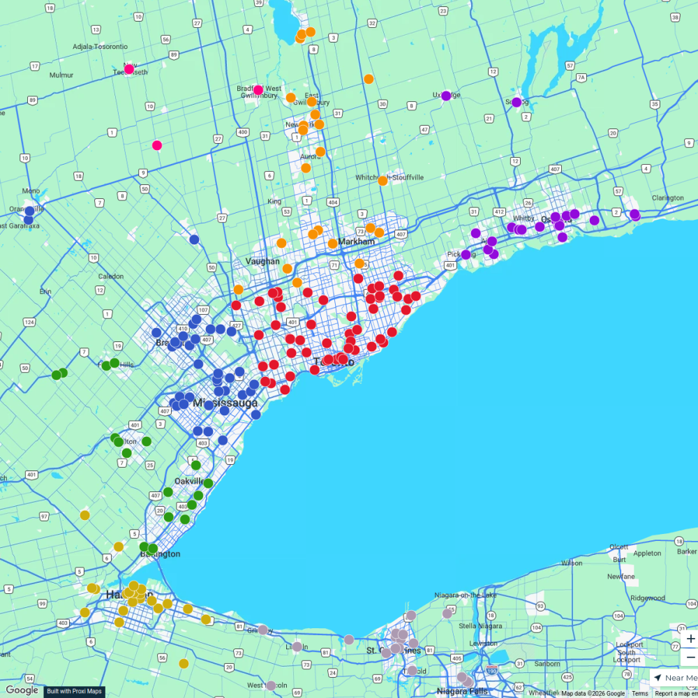
Ontario Food Banks
500 stops Ameen Ahmed's Workspace
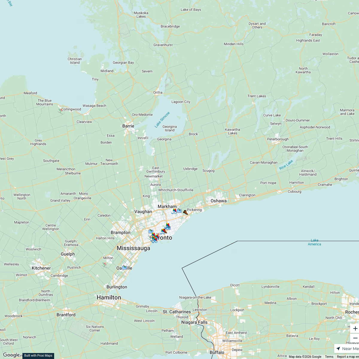
River Trails of Greater Toronto Area
20 stops · Greater Toronto Area, ON, Canada clifford.rutledge's Workspace
Explore613 Halloween Map 2024
255 stops Jessi @ Explore 613
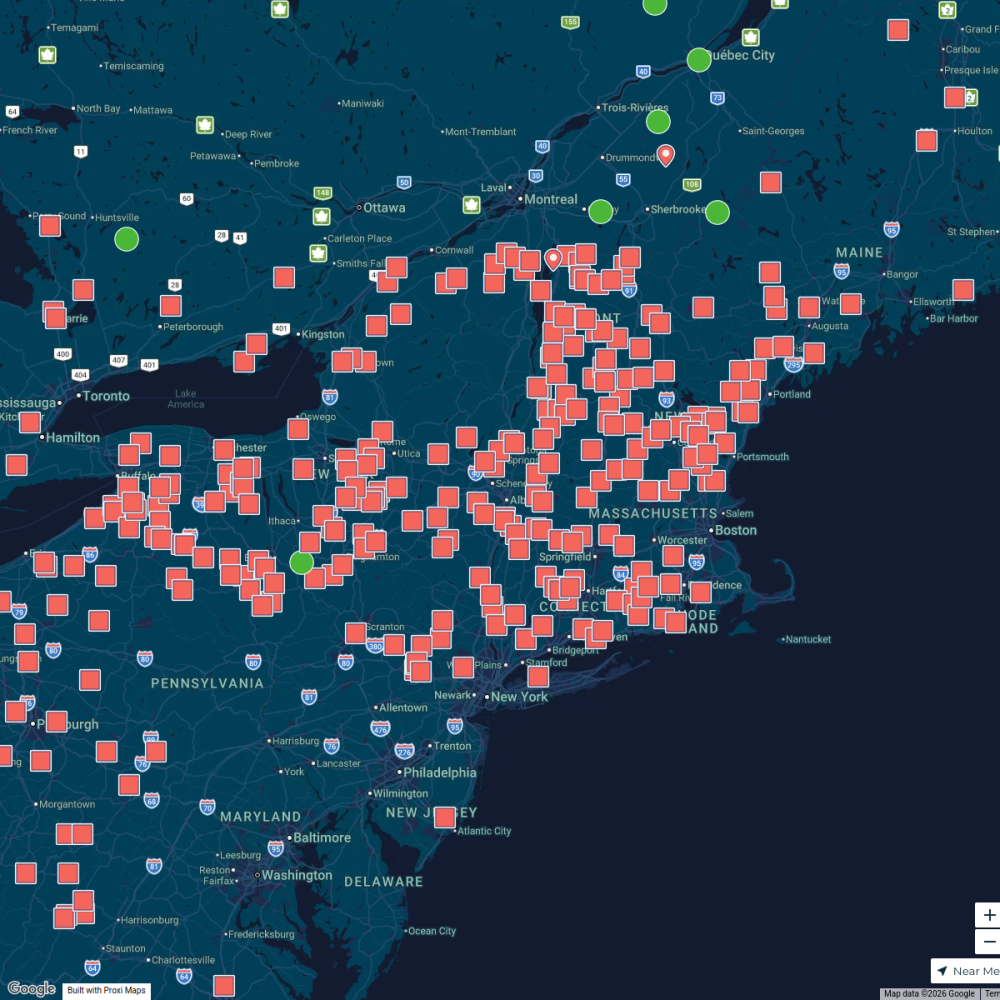
Maple Map / Carte des sucres
441 stops · Albany, NY, USA StoryWorkz Creative's Workspace
IPHCC Safespace Network Map
16 stops sask practice's Workspace


This map was made with Proxi
Have a main street, a market, or a story worth walking? Make your own map in a few minutes.