
Map · 20 places
Medieval Countryside of UK
A hand-drawn style map showcasing a fictional medieval countryside region in the UK, featuring quaint villages, lush farmlands, dense forests, winding rivers, and historical landmarks like castles and abbeys. The map captures the charm and beauty of rural life during the medieval period, with a focus on the settlements, natural landscapes, and points of interest where the culture and nature intertwine.
Made with ProxiUpdated Nov 2024
- Ruins 4
- Battlefields 2
- Castles 2
- Farms 2
- Forests 2
- Market Towns 2
- Mythical Locations 2
- Rivers 2
- Villages 2
Places on This Map
20 places · 9 groupsNearby Maps
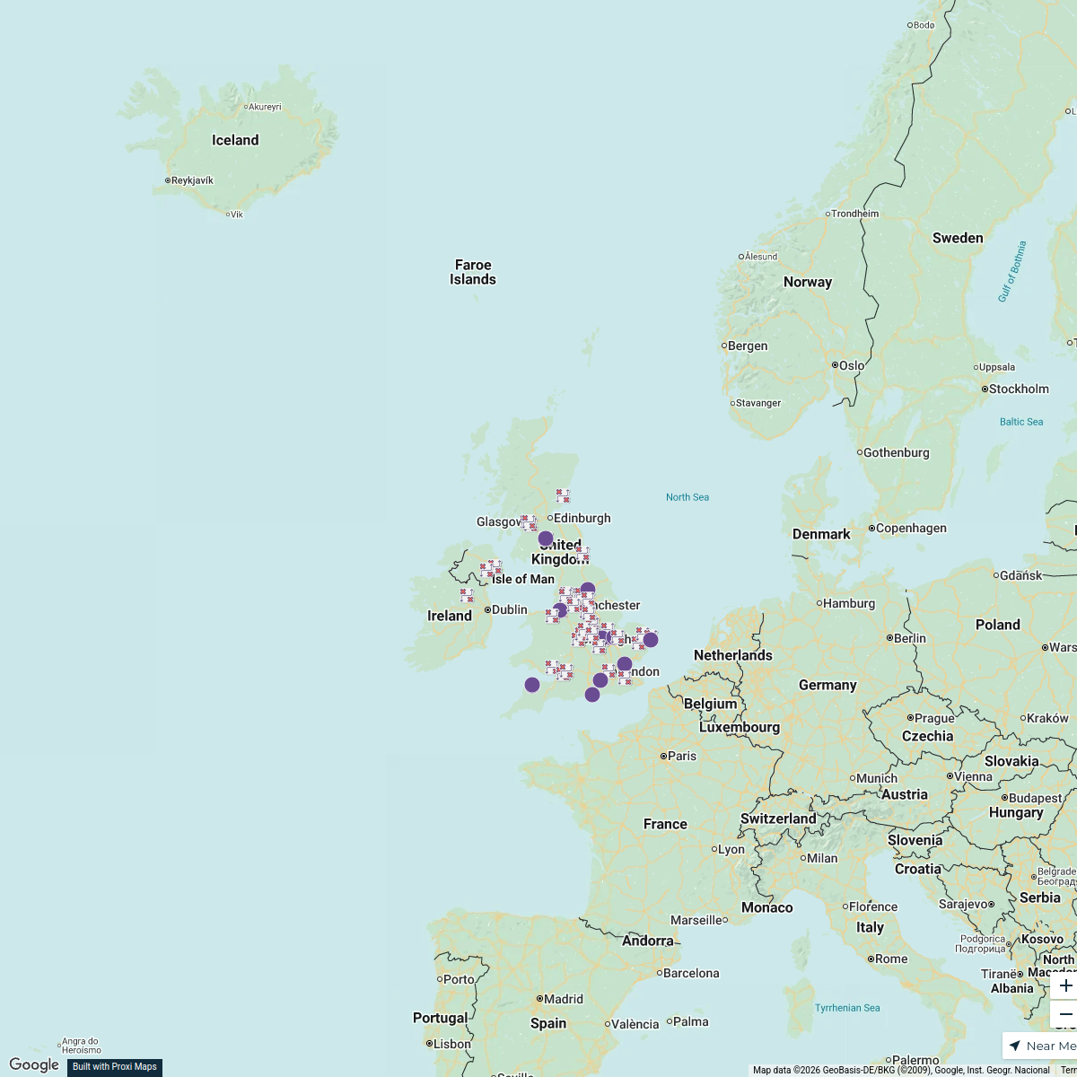
Smurfit Westrock UK Locations
65 stops · UK, United Kingdom Andrew Downward's Workspace
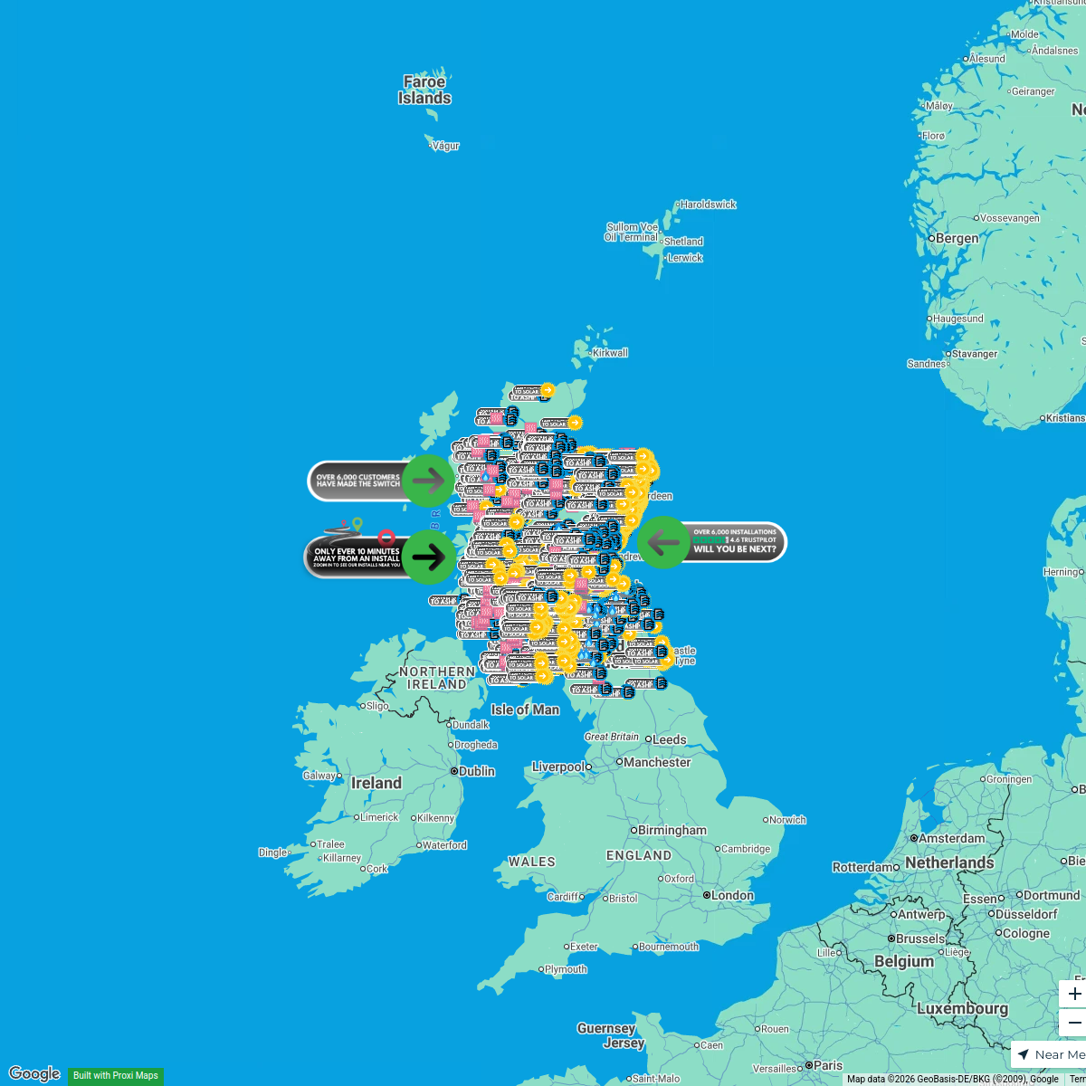
Greener Energy Group - Installs
6559 stops peter's Workspace
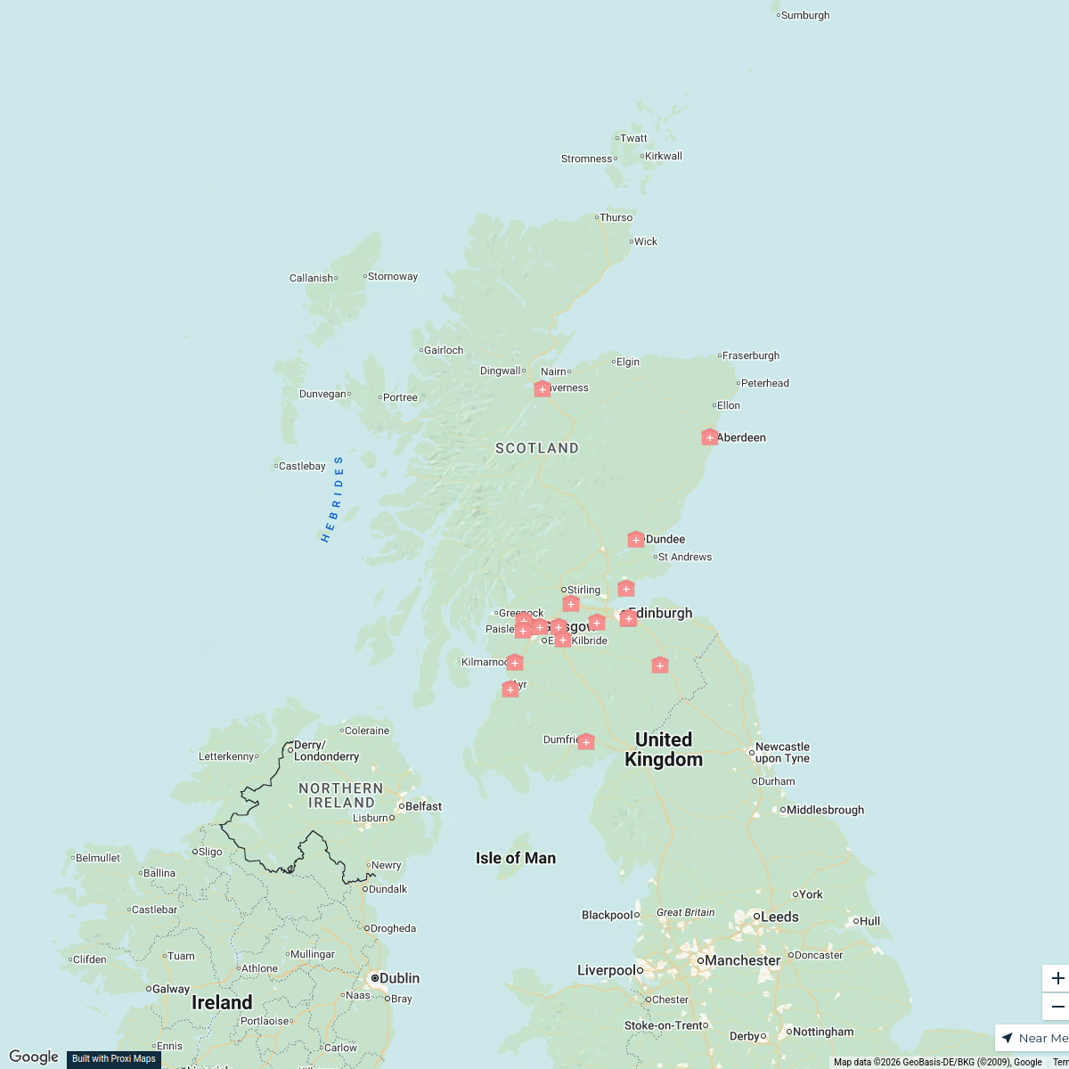
ICU Facilities in Scotland
19 stops · Scotland, UKmkinsella462's WorkspaceMember Directory Map
465 stops rlane's Workspace
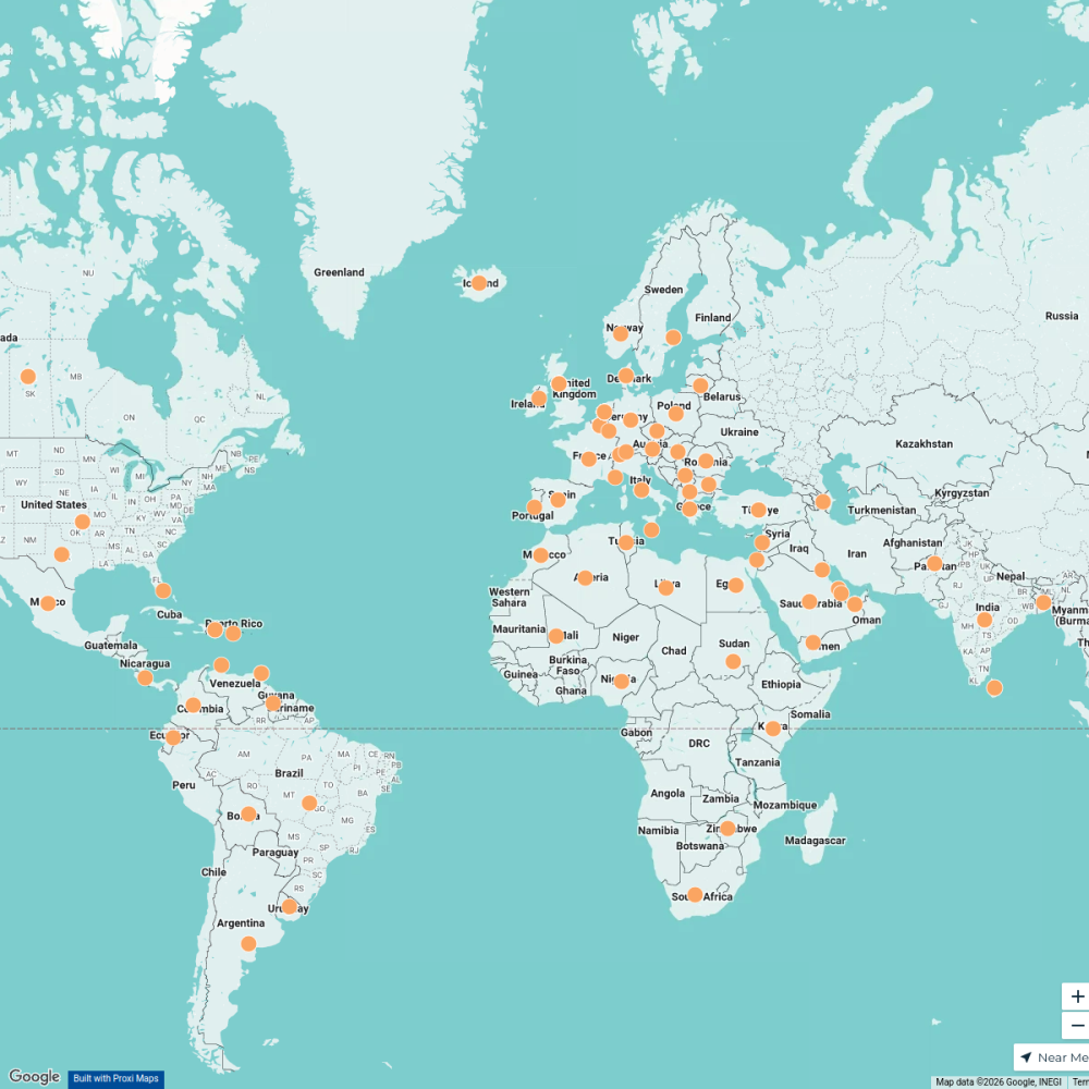
Worldwide Travel & Projects
46 stopsDesiree Cordova's WorkspaceChilean children were taken abroad
16 stopsMaria Diemar's Workspace
This map was made with Proxi
Have a main street, a market, or a story worth walking? Make your own map in a few minutes.