
Map · 16 places
Urban Morphology of Oxford St
A detailed map examining the urban morphology of Oxford Street, London, UK, highlighting the layout, architectural styles, and key landmarks that define this famous shopping street.
Made with ProxiUpdated Nov 2024
- Shopping areas 7
- New Category 3
- Landmarks 2
- Architecture 1
- Historical Sites 1
- Public Spaces 1
- Transport Links 1
Places on This Map
16 places · 7 groupsNearby Maps
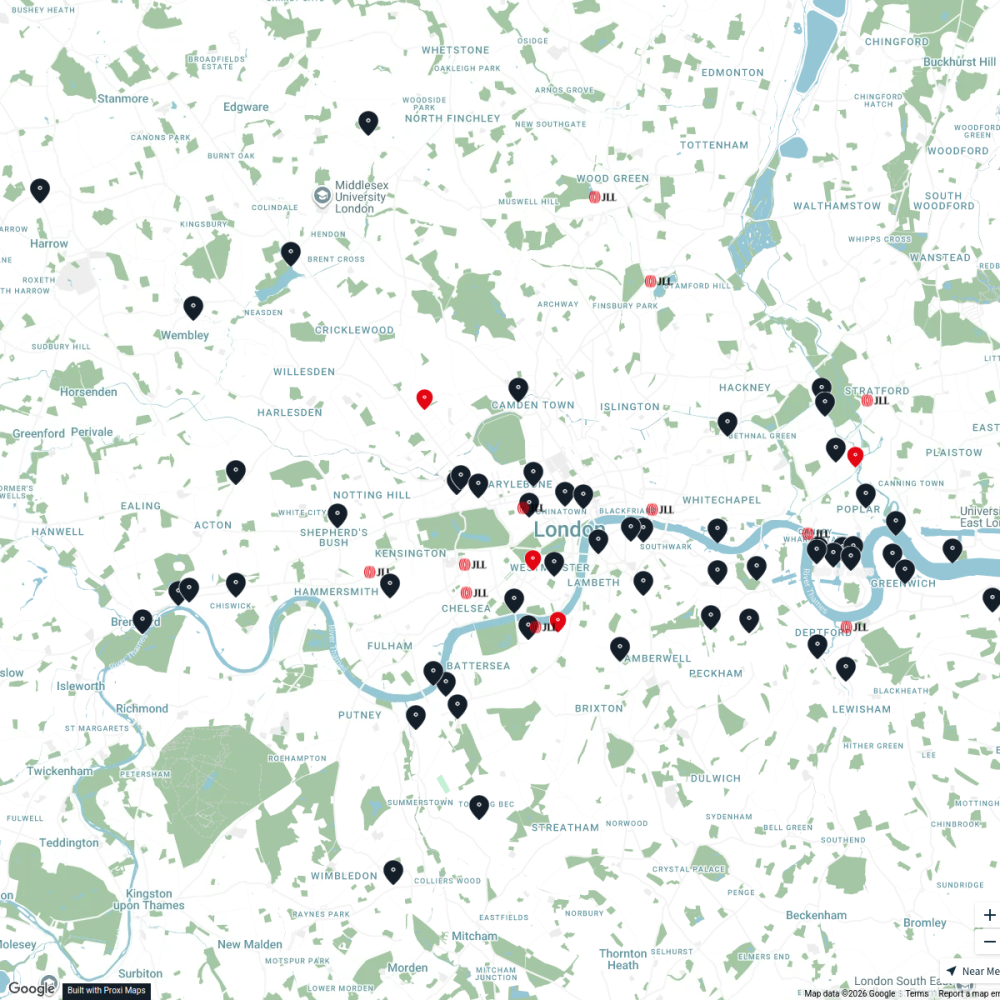
JLL Residential
76 stops JLL London
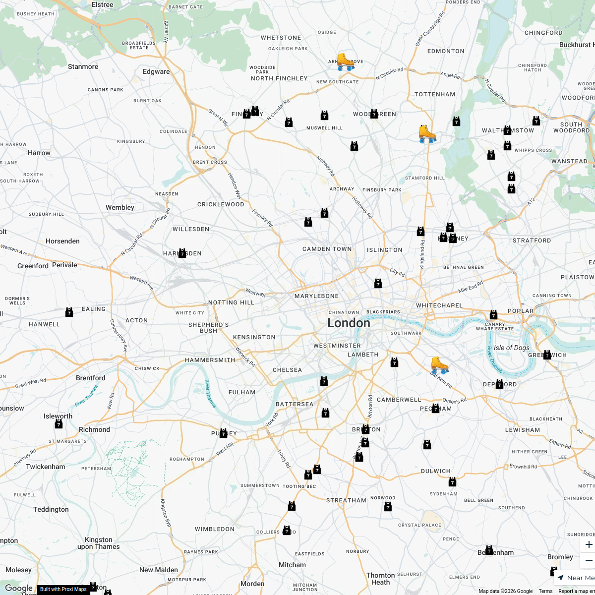
London Roller Derby
76 stops katylw123's Workspace
LAB ARCHITECTS
1 stop · London, UK georgie's Workspace
Ted Lasso London Filming Locations
42 stops · London London in Real Life's Workspace
London's Oldest Pubs
13 stops · London, UKLondon in Real Life's WorkspacePest Control London
37 stops · MA PEST CONTROL, 20 Ladbroke Cres, London W11 1PS, UKbethalmoore's Workspace


This map was made with Proxi
Have a main street, a market, or a story worth walking? Make your own map in a few minutes.