
Map · 16 places
Urban Sociology of Oxford St
This map explores the urban sociology of Oxford Street, London, UK, highlighting key social dynamics, demographic trends, and cultural influences in one of the world's busiest shopping streets.
Made with ProxiUpdated Nov 2024
- Shopping Districts 9
- Transport Links 4
- Cultural Landmarks 2
- Sociological Studies 1
Places on This Map
16 places · 4 groupsNearby Maps
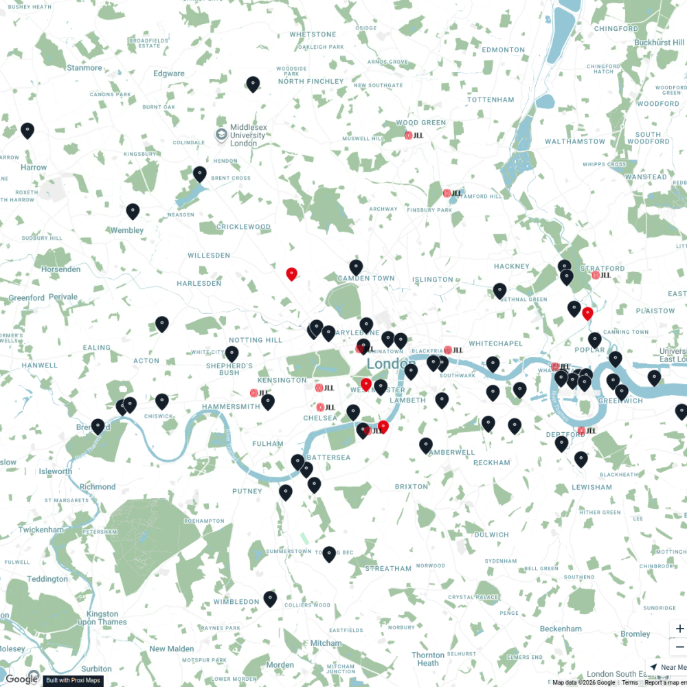
JLL Residential
76 stops JLL London
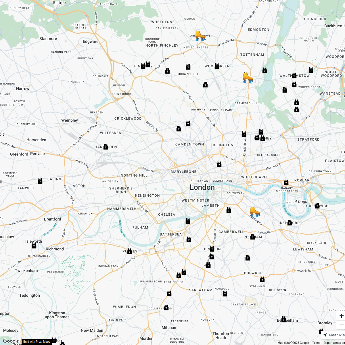
London Roller Derby
76 stops katylw123's Workspace
LAB ARCHITECTS
1 stop · London, UK georgie's Workspace
Ted Lasso London Filming Locations
42 stops · London London in Real Life's Workspace
London's Oldest Pubs
13 stops · London, UKLondon in Real Life's WorkspacePest Control London
37 stops · MA PEST CONTROL, 20 Ladbroke Cres, London W11 1PS, UKbethalmoore's Workspace


This map was made with Proxi
Have a main street, a market, or a story worth walking? Make your own map in a few minutes.