
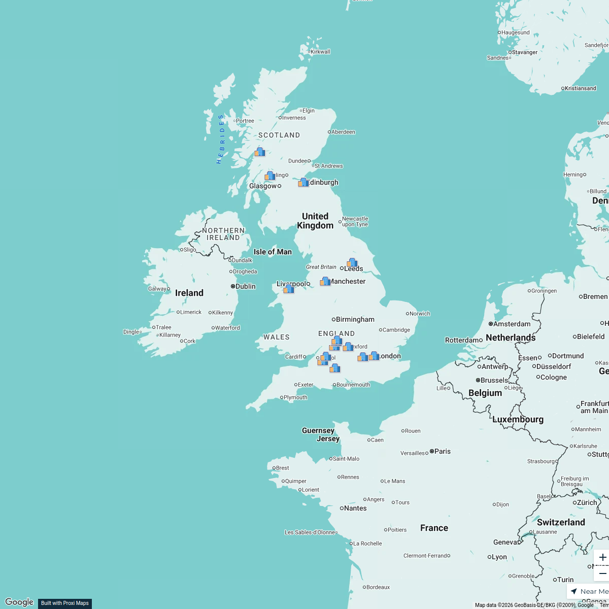
Map · 18 places
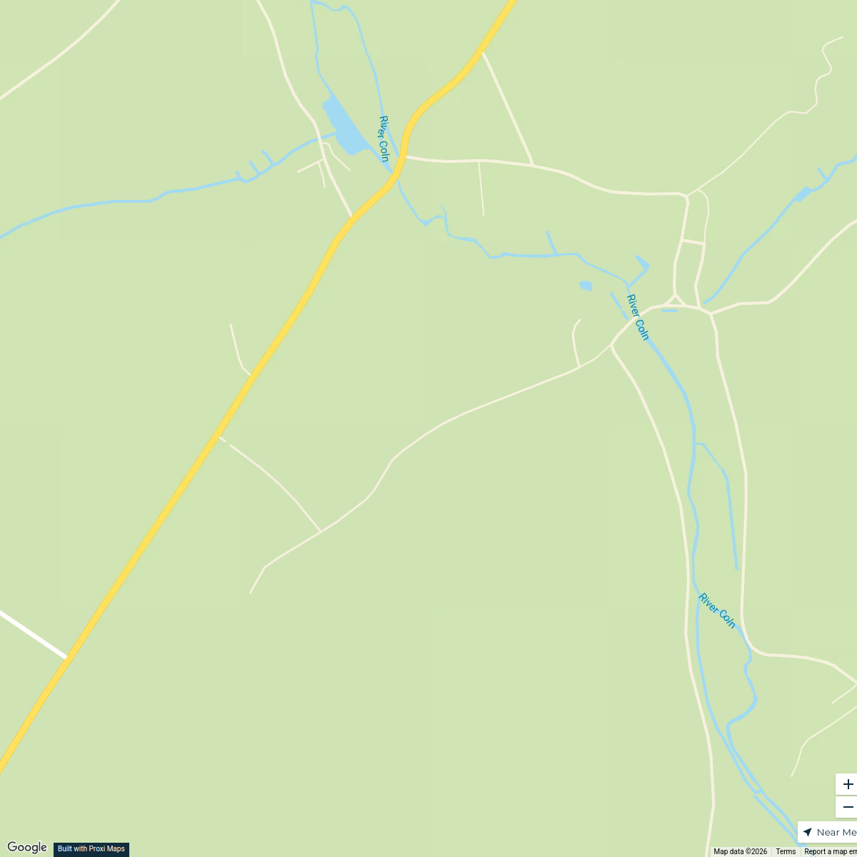
Topographic Map of Oxfordshire
A detailed topographic map showcasing the varied geography of Oxfordshire, England, featuring contour lines to indicate elevation changes, major towns, landmarks, and water bodies. This map highlights the unique rolling hills, river valleys, and flat plains that characterize the region, alongside a color gradient illustrating steepness across different terrains.
Made with ProxiUpdated Nov 2024
- Major Towns 9
- Topographic Features 4
- Historic Sites 3
- Water Bodies 2
Places on This Map
18 places · 4 groupsNearby Maps
Cotswald
8 stops · Cotswolds, UK Dev Das's Workspace
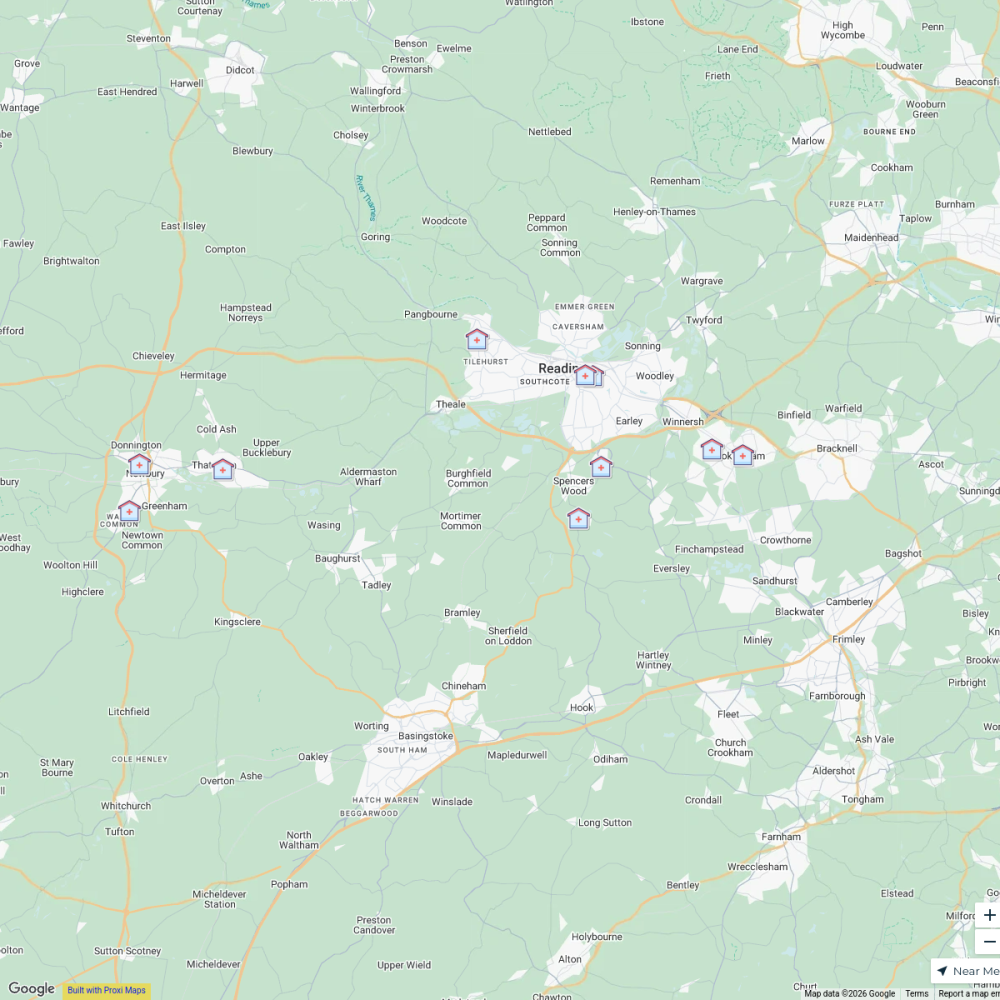
B-Well NHS Clinics, Berkshire West
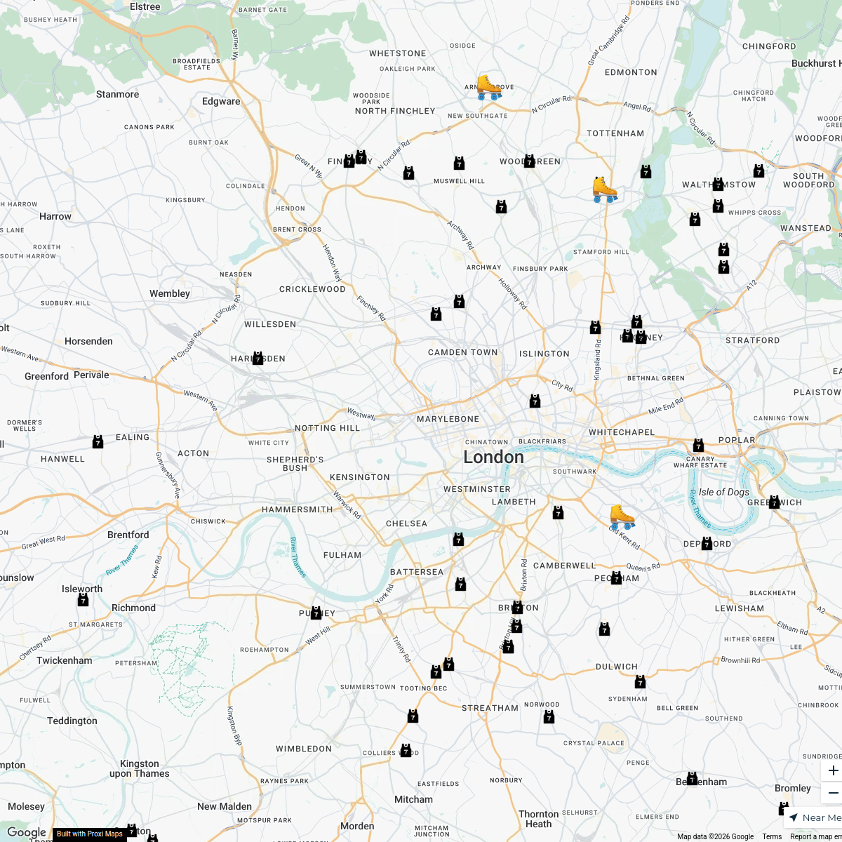
11 stopsvenkat.tikkireddi's WorkspaceLondon Roller Derby
76 stops katylw123's Workspace
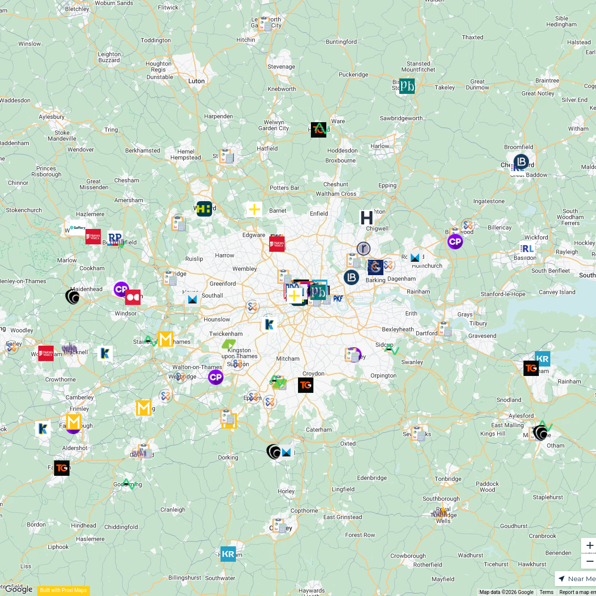
Accounting Firms in London
165 stops · London, UKmax.caster's WorkspaceFlexi
188 stopsp.grant's WorkspaceUK Trip
15 stops Aditya Santhanam's Workspace
This map was made with Proxi
Have a main street, a market, or a story worth walking? Make your own map in a few minutes.