
Map · 18 places
Mankulam Panchayath Map
A detailed map highlighting the Panchayath areas in and around Mankulam, Kerala, India. This map includes key locations, community services, and local landmarks.
Made with ProxiUpdated Nov 2024
- Recreational Areas 8
- Panchayath Areas 5
- Community Services 2
- Local Landmarks 2
- Transportation 1
Places on This Map
18 places · 5 groupsNearby Maps
Pin Your Heart
425 stops · Europe Voluson Performance
Community Map
Munnar Tourist Map
9 stops · Munnar, Kerala 685612, IndiaShared by the Proxi community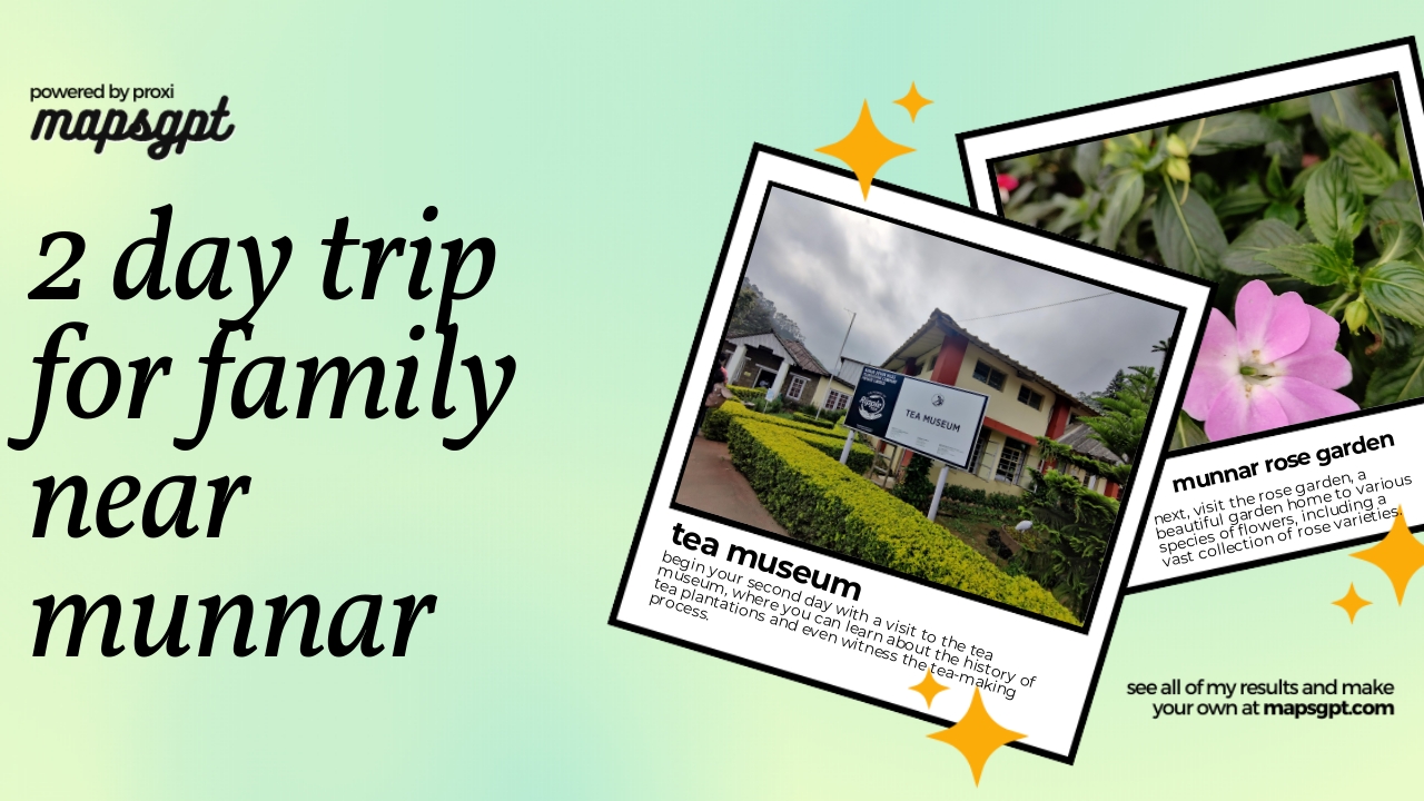 Community Map
2 day trip for family near munnar
6 stops · Munnar, Kerala 685612, IndiaShared by the Proxi community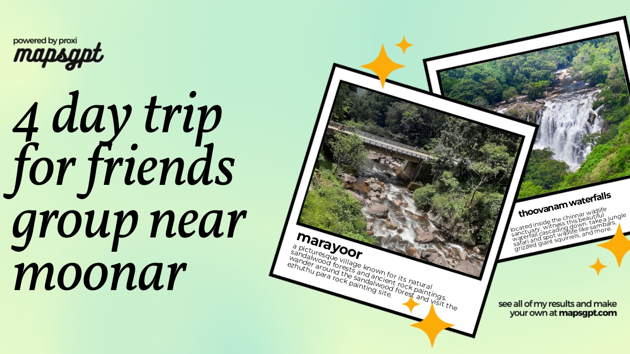 Community Map
4 day trip for friends group near Moonar
12 stops · Munnar, Kerala 685612, IndiaShared by the Proxi community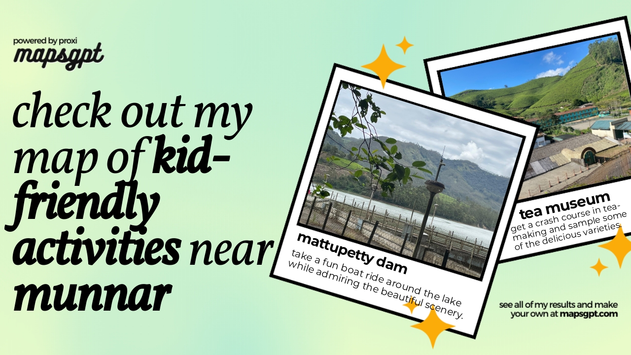 Community Map
kid-friendly activities near munnar
6 stops · Munnar, Kerala 685612, IndiaShared by the Proxi community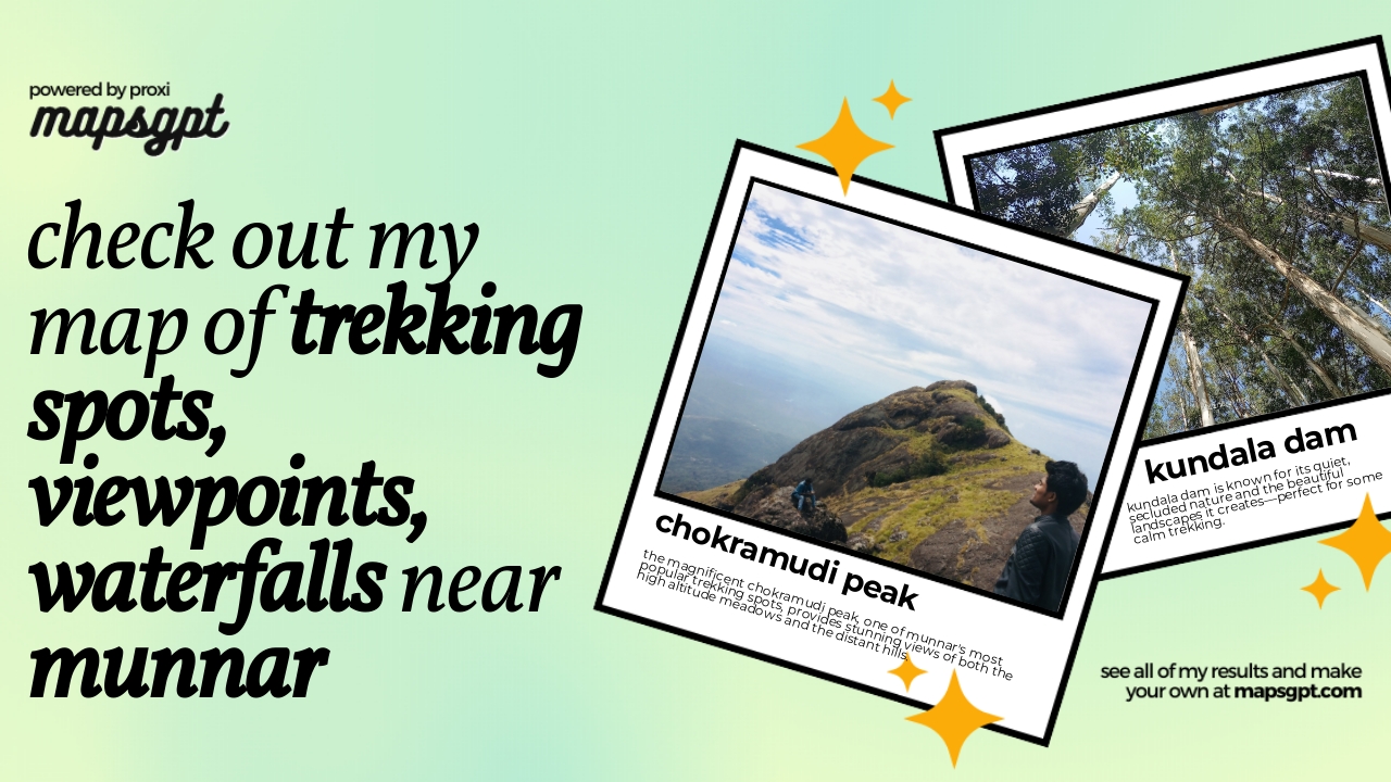 Community Map
trekking spots, viewpoints, waterfalls near munnar
13 stops · Munnar, Kerala 685612, IndiaShared by the Proxi community

This map was made with Proxi
Have a main street, a market, or a story worth walking? Make your own map in a few minutes.