
Map · 13 places
Złotoryjski County Map
A detailed map showcasing Złotoryjski County, with a focus on Złotoryja, Poland. This map highlights key landmarks, historical sites, natural attractions, and local amenities within the county.
Made with ProxiUpdated Nov 2024
- Cultural Landmarks 9
- Natural Attractions 4
Places on This Map
13 places · 2 groupsNearby Maps
 Community Map
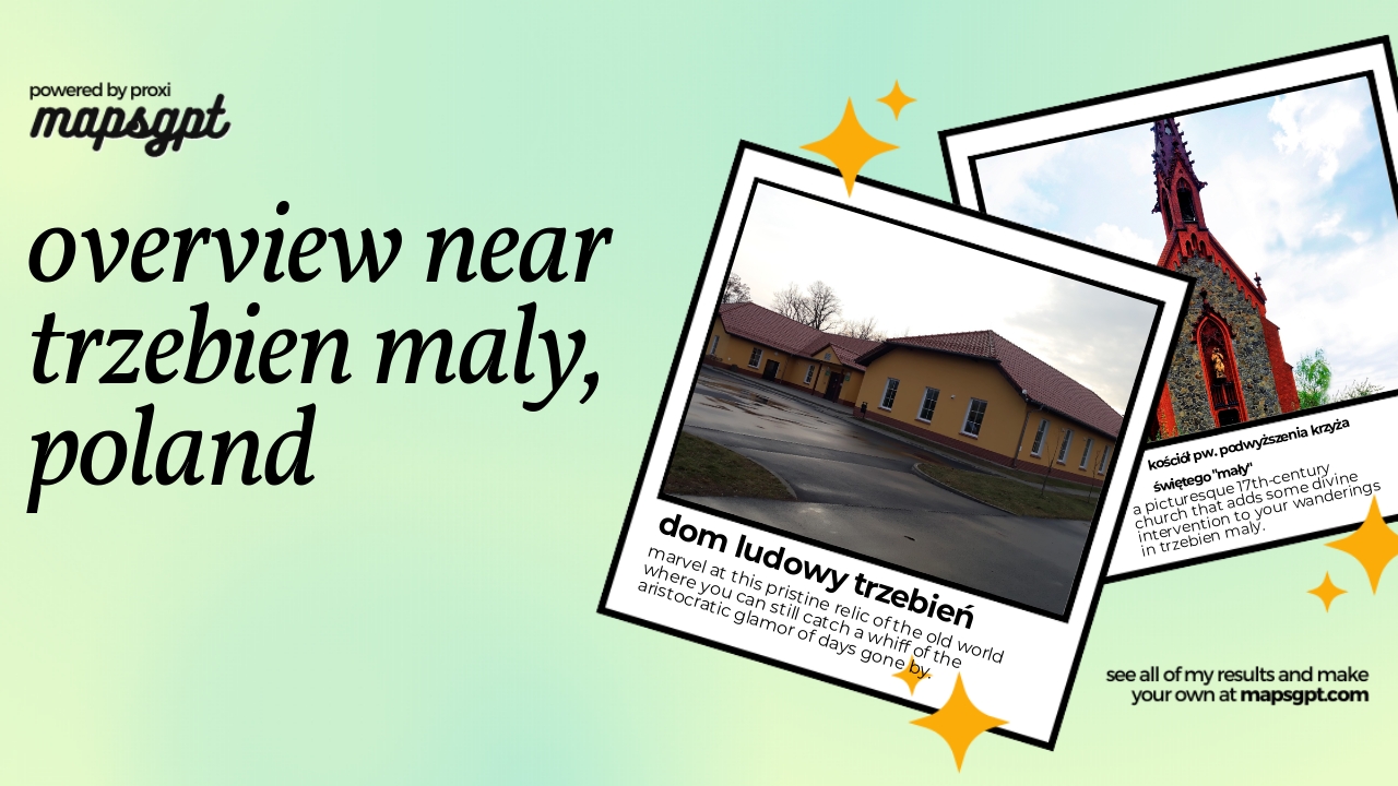
Overview near Trzebien Maly, poland
4 stops · Trzebień Mały, PolandShared by the Proxi communityCommunity Map
Places near Wałbrzych
15 stops · Wałbrzych, PolandShared by the Proxi community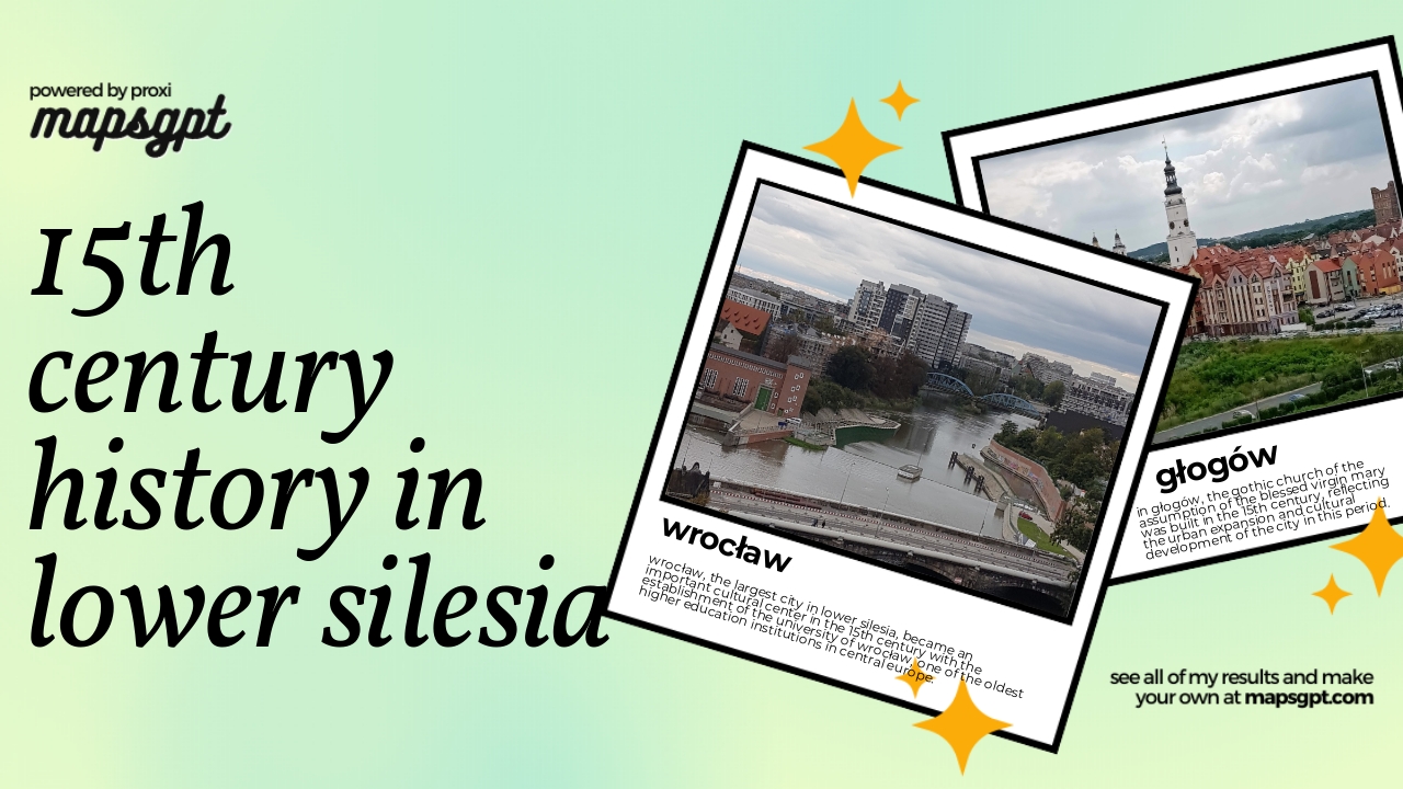 Community Map
15th century history in lower Silesia
5 stops · Lower Silesian Voivodeship, PolandShared by the Proxi community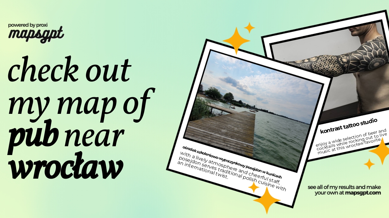 Community Map
Pub near Wrocław
6 stops · Wrocław, PolandShared by the Proxi community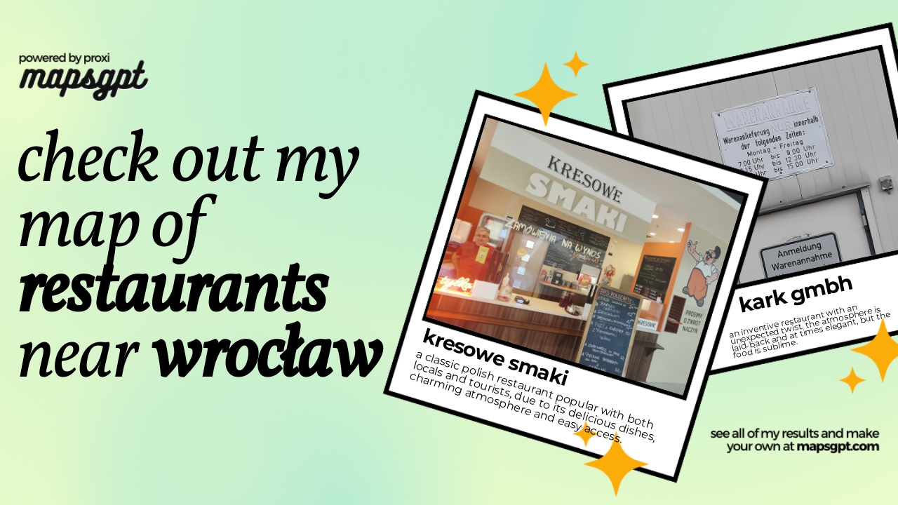 Community Map
restaurants near wrocław
9 stops · Wrocław, PolandShared by the Proxi community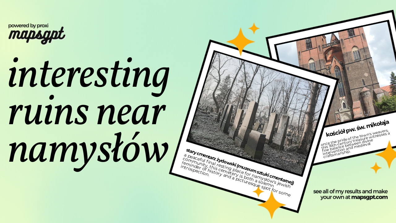 Community Map
interesting ruins near Namysłów
5 stops · Namysłów, PolandShared by the Proxi community
This map was made with Proxi
Have a main street, a market, or a story worth walking? Make your own map in a few minutes.