
Map · 16 places
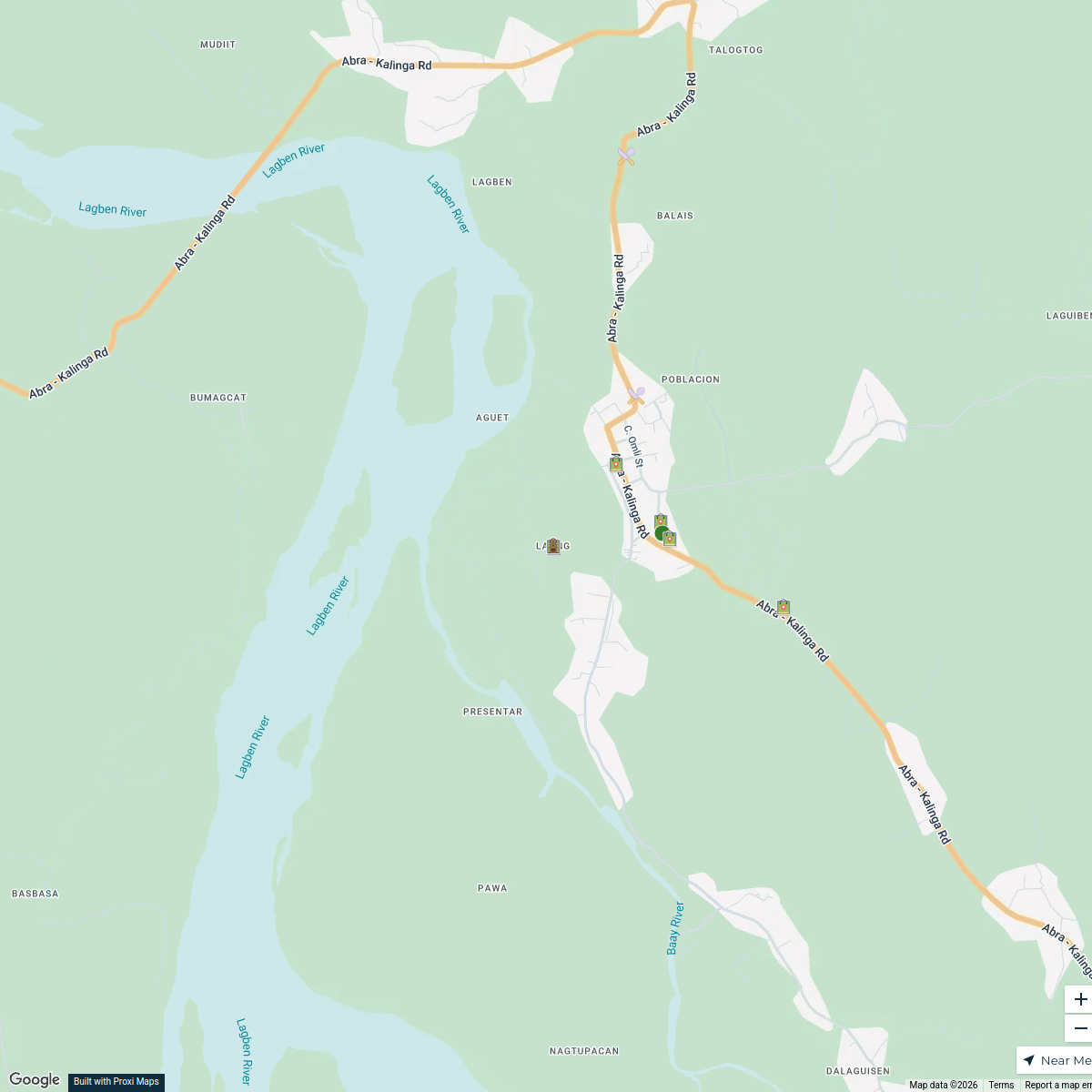
Lagangilang Vicinity Map
This map provides a detailed overview of Lagangilang, located in Abra, Philippines. It highlights key landmarks, roads, and areas of interest within the region, making it easier for residents and visitors to navigate the area.
Made by Ivan Cariño's WorkspaceUpdated Nov 2024
- Local Businesses 5
- Health Facilities 3
- Landmarks 3
- Transportation 3
- Parks 2
Places on This Map
16 places · 5 groupsNearby Maps
Laang Vicinity Map
15 stops · Laang, Lagangilang, Abra, Philippines Ivan Cariño's Workspace
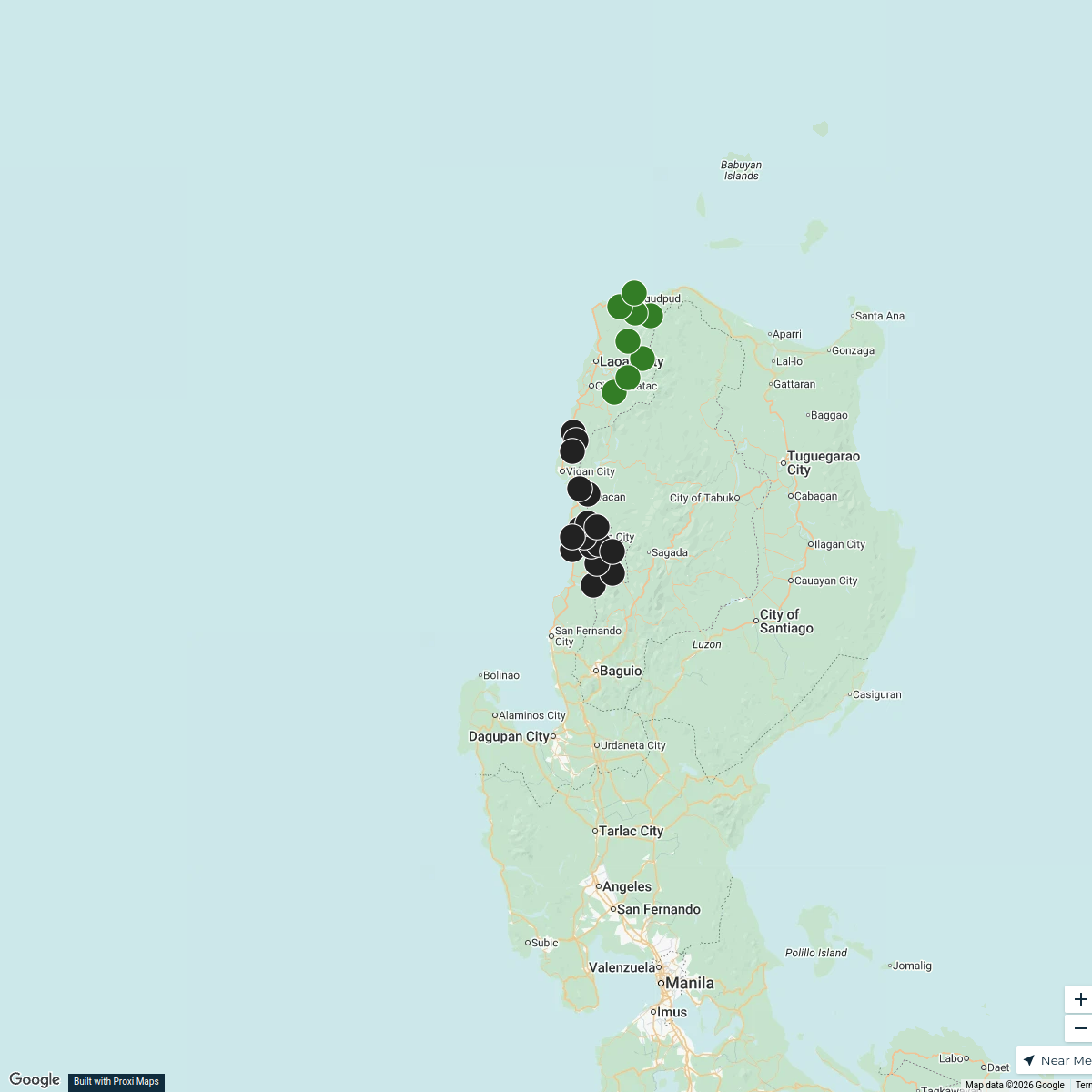
Ancestral Domains in Region I
25 stopsICT NCIP RO1's WorkspaceEthno-group Luzon
24 stops Ethno groups
Community Map
Establishment Map of Laang, Lagangilang, Abra
17 stops · Laang, Lagangilang, Abra, PhilippinesShared by the Proxi communityCommunity Map
Bangued Custom Map
12 stops · Bangued Town Plaza, Taft Avenue, Bangued, Abra, PhilippinesShared by the Proxi communityCommunity Map
School in Garreta Elementary School
8 stops · Garreta, GHV2+MPW, Pidigan, Abra, PhilippinesShared by the Proxi community

This map was made with Proxi
Have a main street, a market, or a story worth walking? Make your own map in a few minutes.