
Map · 16 places
Quezon City Hazard Map
A comprehensive hazard map for Quezon City, Metro Manila, highlighting critical areas prone to natural disasters such as floods, earthquakes, landslides, and other hazards. This map serves as a vital tool for disaster risk management and community awareness.
Made with ProxiUpdated Nov 2024
- Emergency Services 11
- Community Centers 4
- Earthquake Risk Areas 1
Places on This Map
16 places · 3 groupsNearby Maps
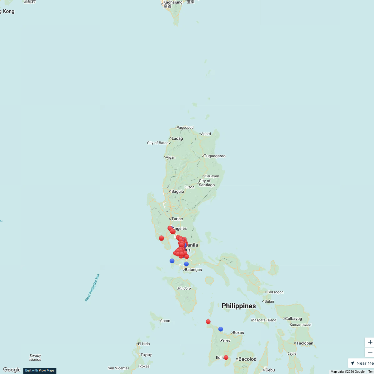
Shakey's Company Store Locations
138 stops · Luzon, Philippines hthidalgo's Workspace
Exploring the Philippines
18 stops · Philippines Kaliyah Williams's Workspace
Orphanage Ministry
106 stopsBob Hansen's WorkspaceSeek Discomfort Adventure Map
974 stops Seek Discomfort's Adventure Map
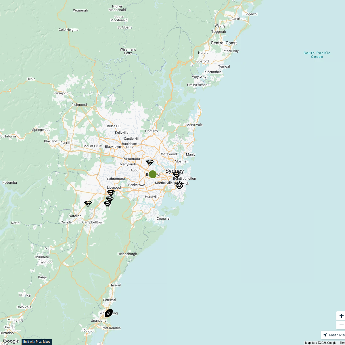
Sydney Explorer
127 stops · Sydney NSW, Australiabhidetejas03's Workspace✨ World Changers Directory 🌎
51 stops World Changer's Workspace
This map was made with Proxi
Have a main street, a market, or a story worth walking? Make your own map in a few minutes.