
Map · 31 places · Mount Pearl, Newfoundland and Labrador
Rivers of Mount Pearl
A map detailing the various river locations in and around Mount Pearl, Newfoundland and Labrador, Canada. Ideal for nature enthusiasts, hikers, and local residents looking to explore the waterways of the area.
Made by william.durocher's WorkspaceUpdated Nov 2024
- Rivers 31
Places on This Map
31 places · 1 groupNearby Maps
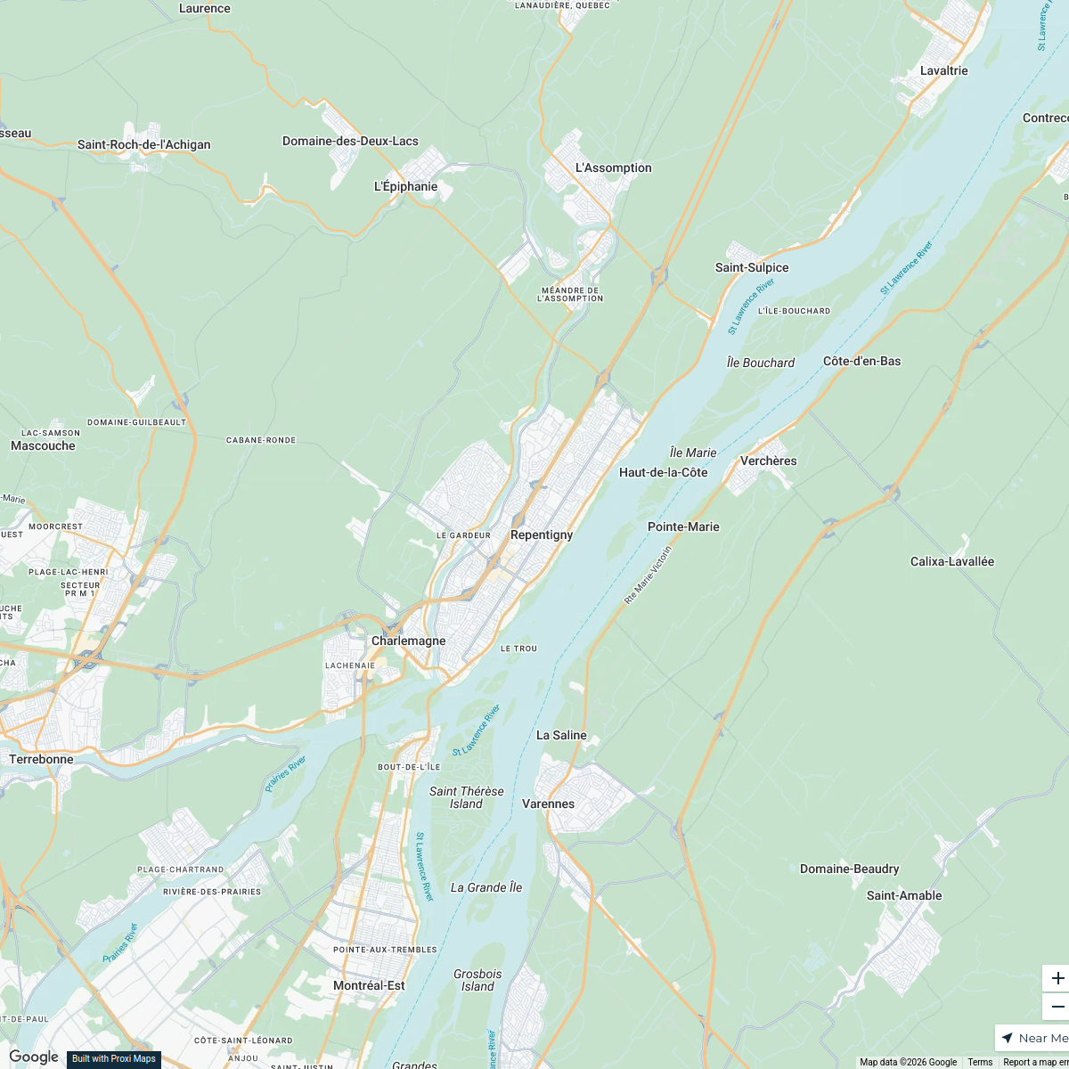
Repentigny Business Hub
23 stops · Repentigny, QC, Canada service's Workspace
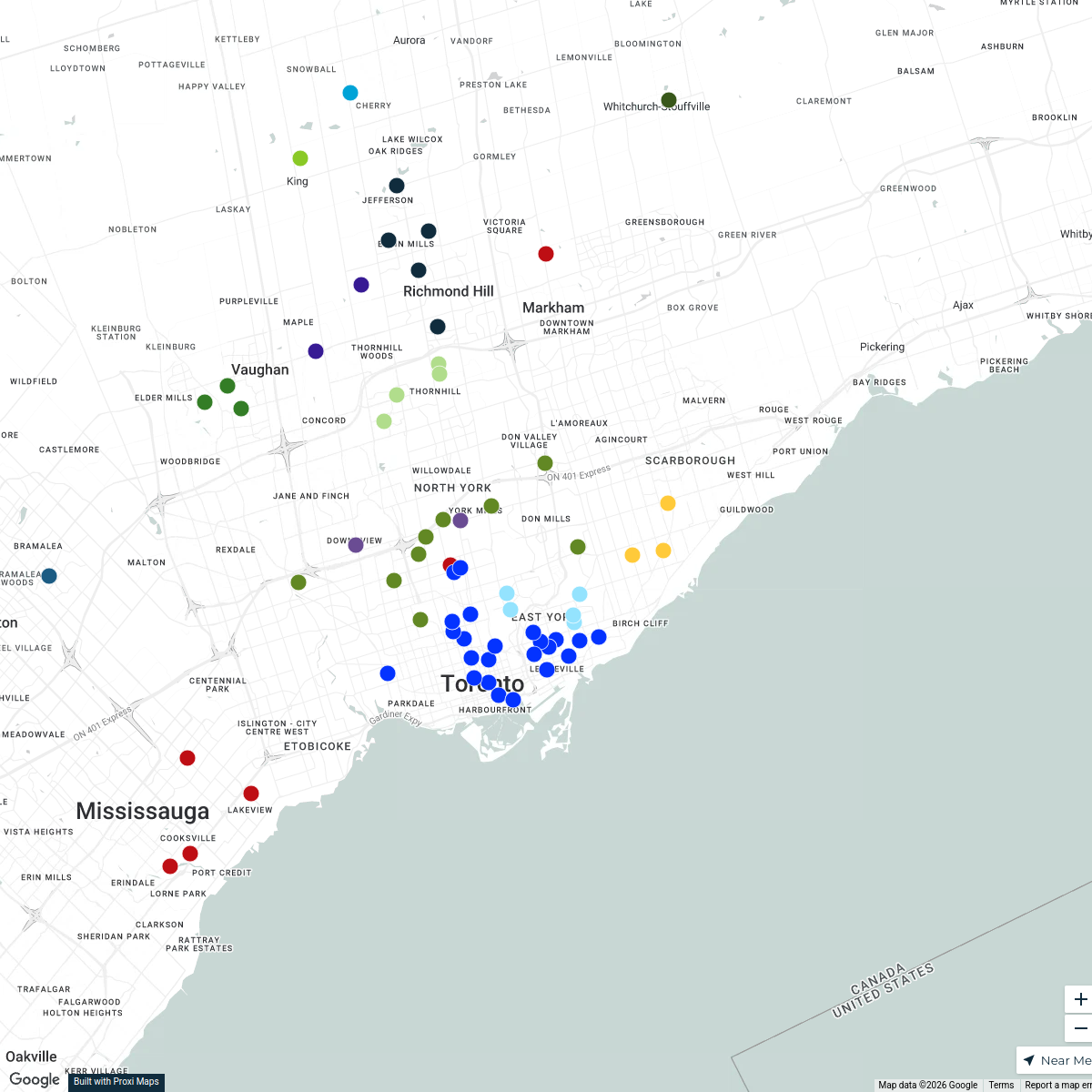
Patient Location Mapping - Ontario
112 stops Hannah Shalom's Workspace
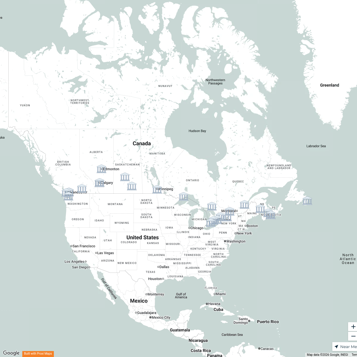
S-IMEW 2025 Students
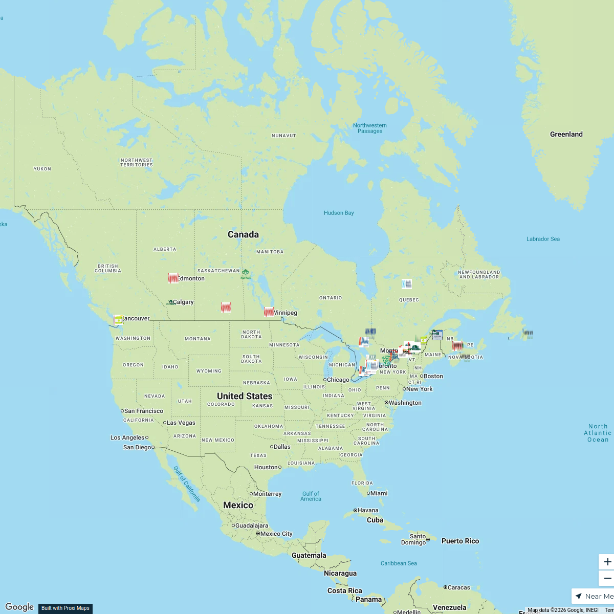
25 stopskmichaud's WorkspaceCanadian Corrugated Plants Map
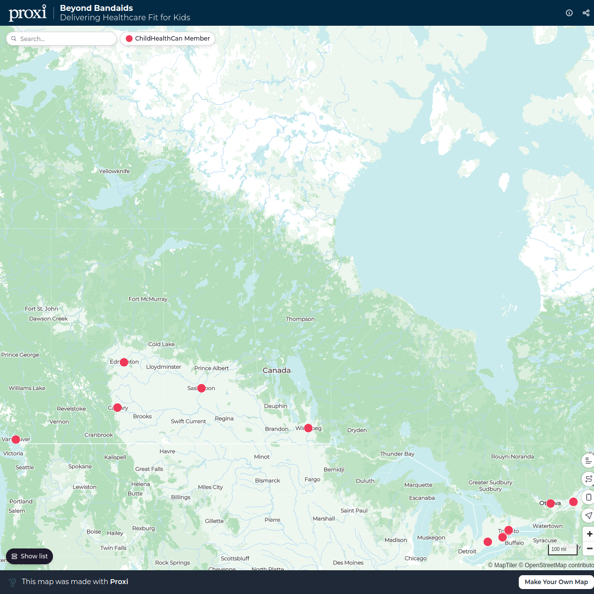
130 stopsBill Buist's WorkspaceBeyond Bandaids
21 stopsAnn Watkins's WorkspaceFlat Nancy Tree of Life PMQ
904 stops · Chesterfield, MO, USAKimberly Moos's Workspace

This map was made with Proxi
Have a main street, a market, or a story worth walking? Make your own map in a few minutes.