
Map · 14 places
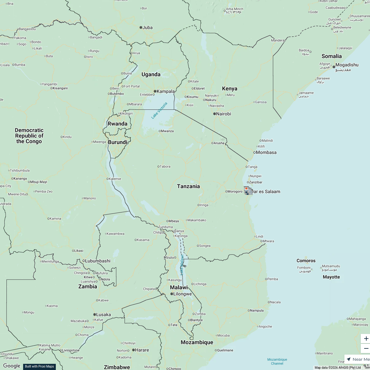
Household Density Zones in Dar es Salaam
This map illustrates the various zones within Dar es Salaam, Tanzania, each containing an average of 50,000 households. It helps to visualize population density and household distribution across the city, aiding in urban planning and resource allocation.
Made with ProxiUpdated Nov 2024
- Urban Planning 5
- Population Density 3
- City Infrastructure 2
- Household Distribution 2
- Residential Areas 2
Places on This Map
14 places · 5 groupsNearby Maps
Tanzania Referral Hospitals
6 stops · Tanzania Petr Grinder's Workspace
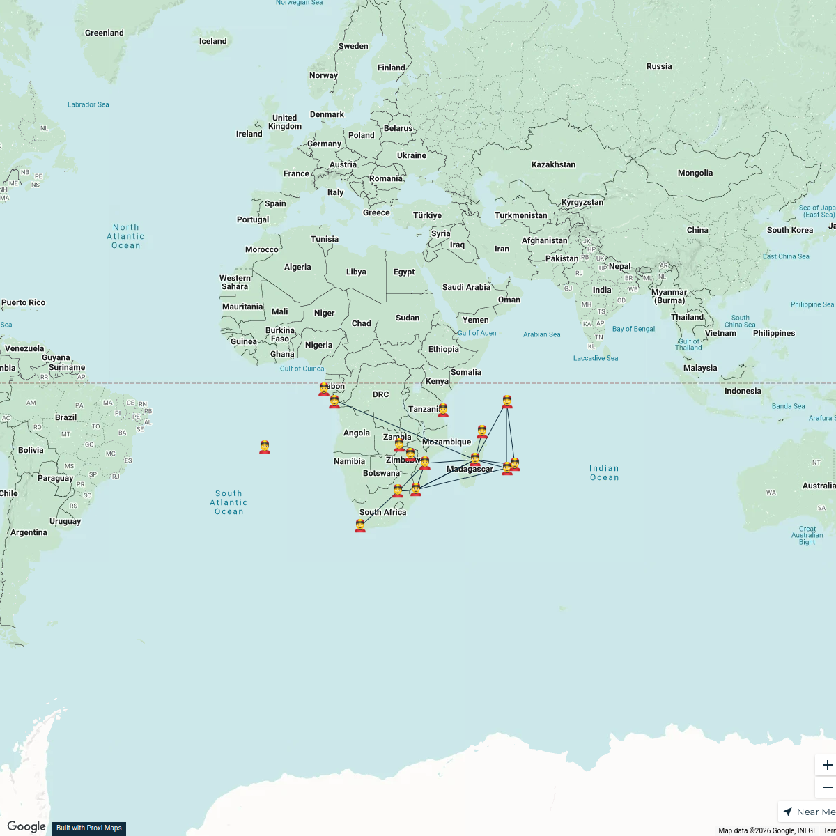
Overseas Chinese Networks in Africa
15 stops · AfricaQifan Zhang's Workspace
Beer Passport Map
357 stops Lekker Passport
Community Map
Dar Es Salaam Culture
1 stop · Dar es Salaam, TanzaniaShared by the Proxi communityCommunity Map
Culinary Delights of Dar es Salaam
20 stops · Dar es Salaam, TanzaniaShared by the Proxi communityCommunity Map
Dar es Salaam City Map
1 stop · Dar es Salaam, TanzaniaShared by the Proxi community
This map was made with Proxi
Have a main street, a market, or a story worth walking? Make your own map in a few minutes.