
Map · 16 places
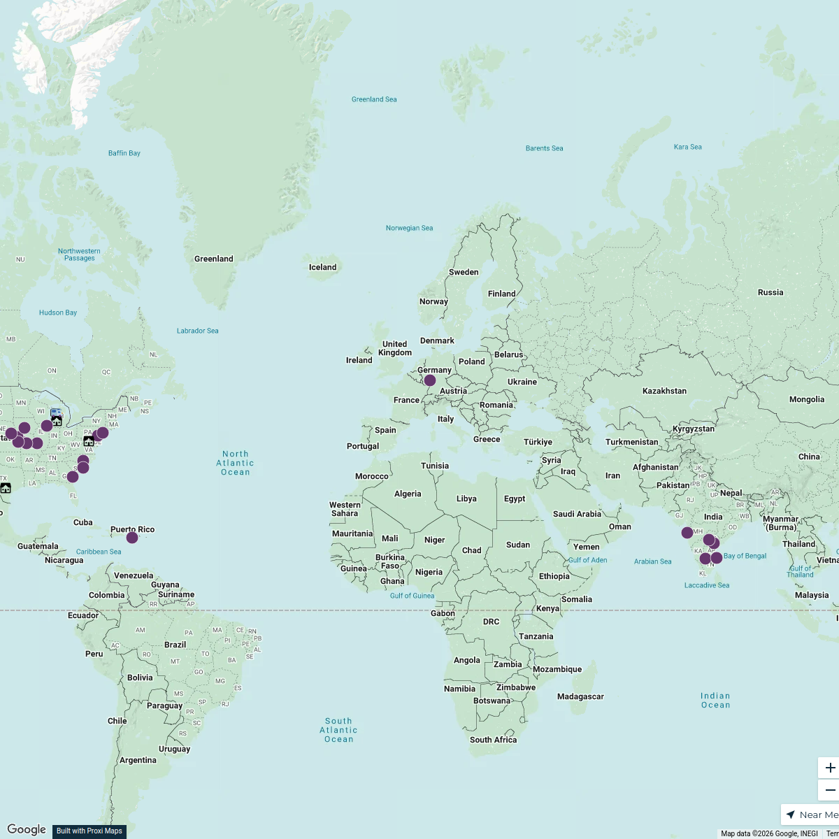
Historical Political Boundaries of Europe
A map showcasing the political boundaries of European countries in the early 17th century.
Made with ProxiUpdated Nov 2024
- Country 16
Places on This Map
16 places · 1 groupNearby Maps
D&A Places
392 stops tricia.grasher's Workspace
Community Map
Historical Sites of World War II in Europe
15 stops · EuropeShared by the Proxi communityCommunity Map
Mapa de relieve de Europa
15 stops · EuropeShared by the Proxi communityCommunity Map
European Historical and Cultural Sites
17 stops · EuropeShared by the Proxi communityCommunity Map
Ancient European Cities
12 stops · EuropeShared by the Proxi communityCommunity Map
Historical Sites of Ancient Greece
15 stops · EuropeShared by the Proxi community
This map was made with Proxi
Have a main street, a market, or a story worth walking? Make your own map in a few minutes.