
Map · 19 places
Rheden, Países Bajos Map
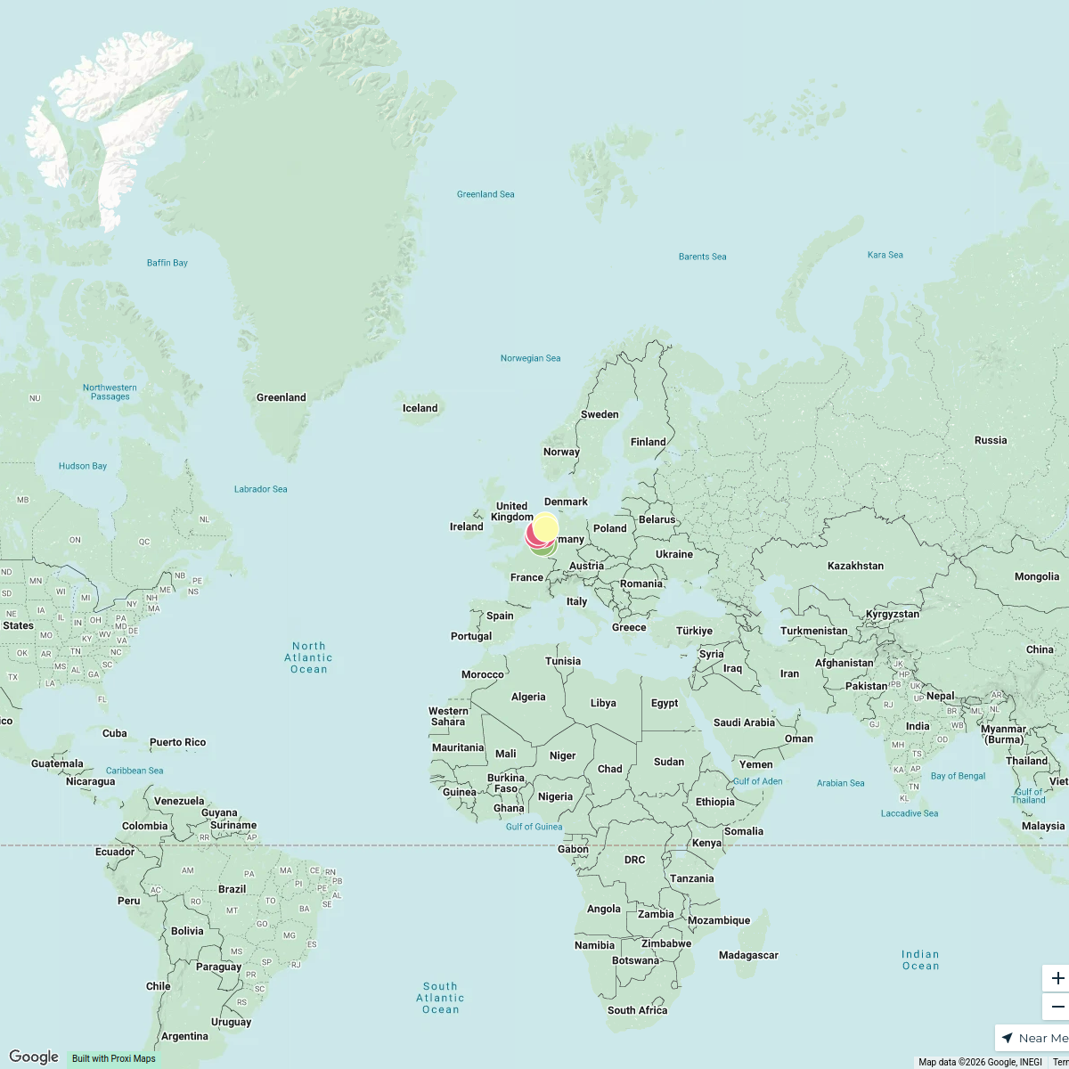
A detailed map showcasing the layout, landmarks, and notable features of Rheden, Países Bajos. This map includes a BLOTSS legend, scale, and a caption to help users understand the geographical context and significant points of interest in the area.
Made with ProxiUpdated Nov 2024
- Parks 6
- Historical Sites 3
- Restaurants 3
- Shopping Areas 3
- Public Transport 2
- Cafes 1
- Landmarks 1
Places on This Map
19 places · 7 groupsNearby Maps
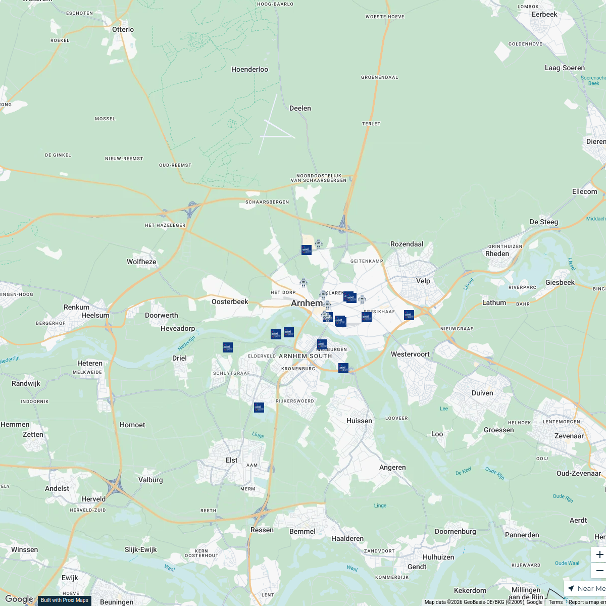
Arnhem Rozet
24 stops · Arnhem, Nederland Yuliia Kucherenko's Workspace
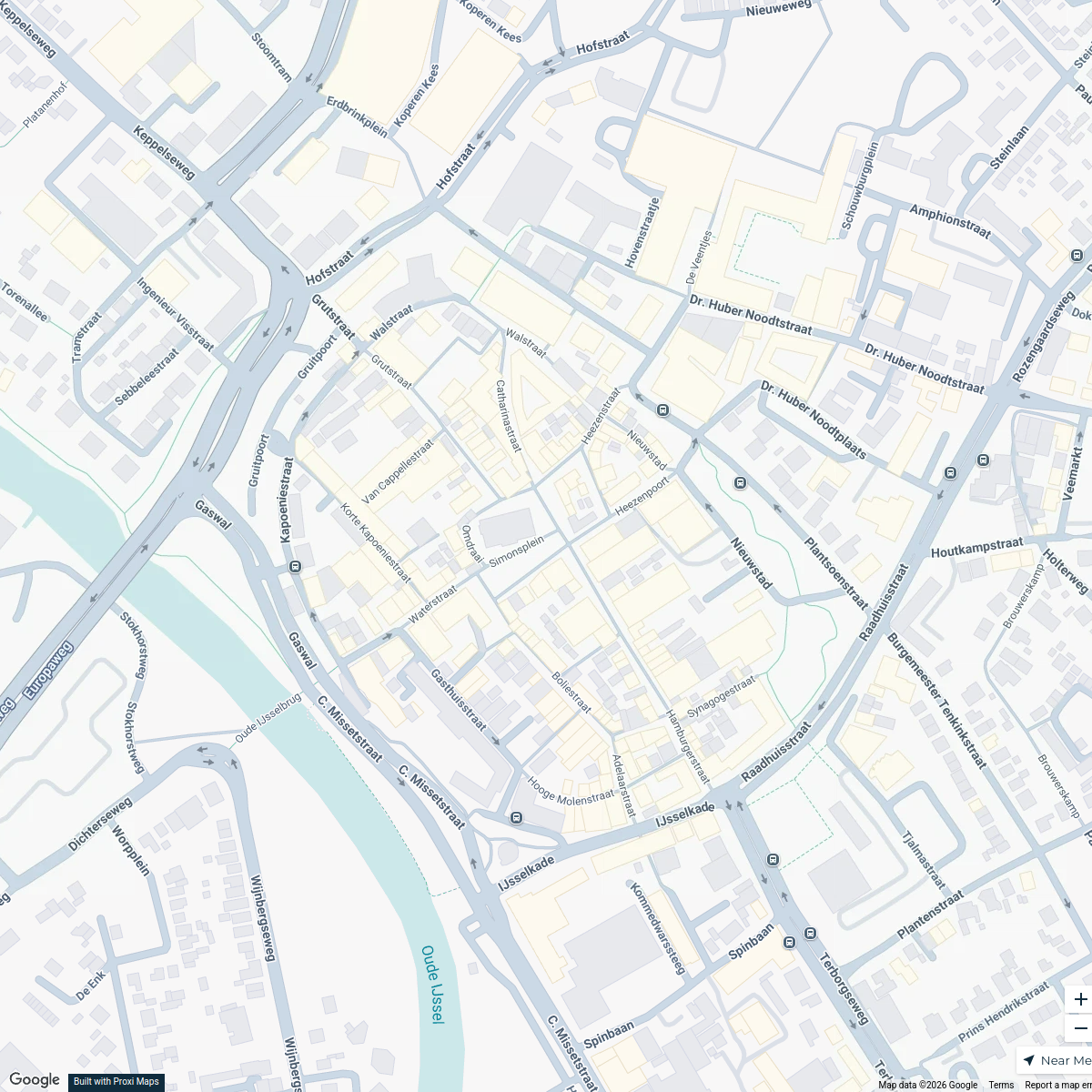
Custom
25 stops · Doetinchem Centrum, Simonsplein, 7001 BM Doetinchem, Nederland milanbremmer's Workspace
b-t-w.top m-NL MapDisPLAY💥
141 stops BENjamin Smit
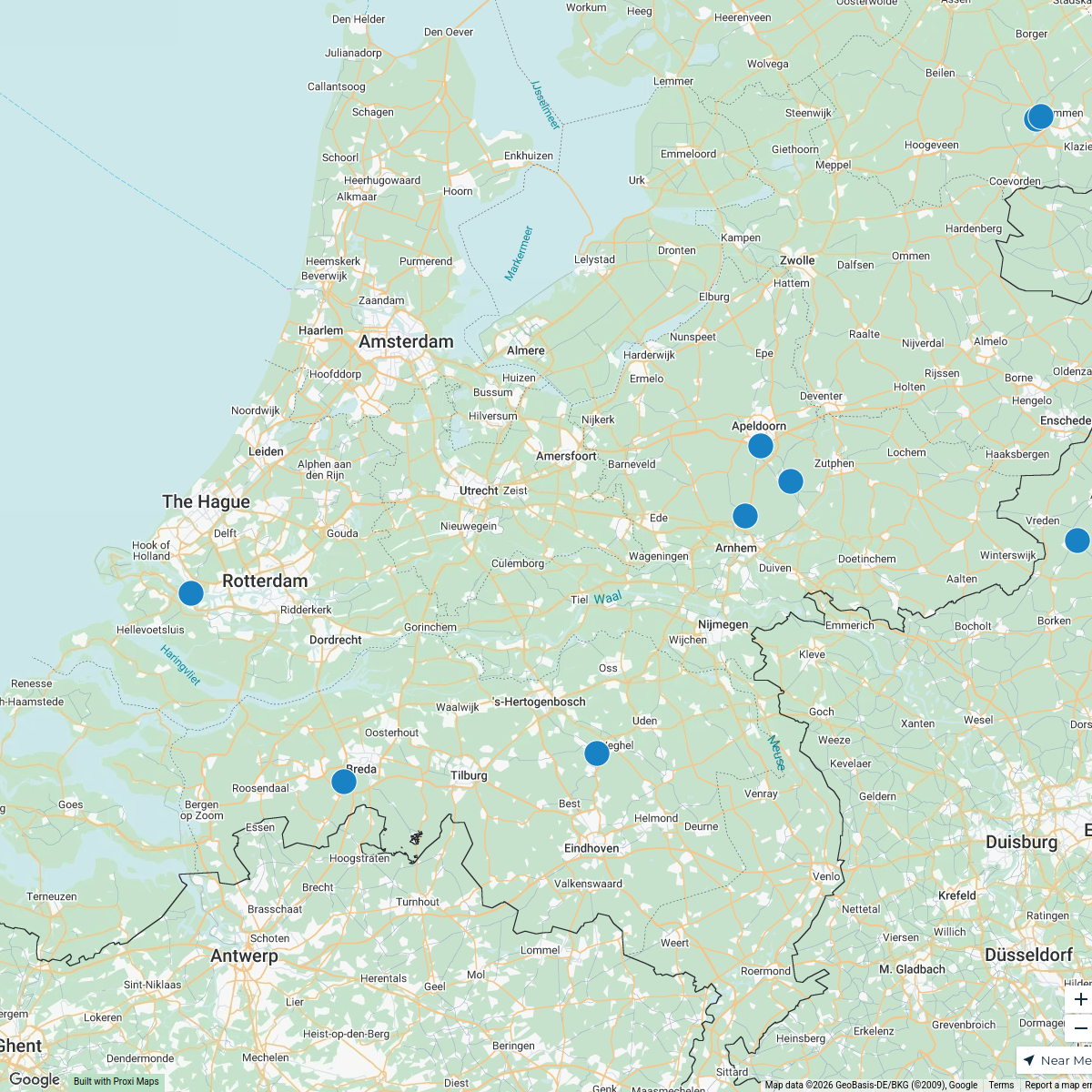
Moto Trails and Clubs Map
16 stops David Lemereis's Workspace
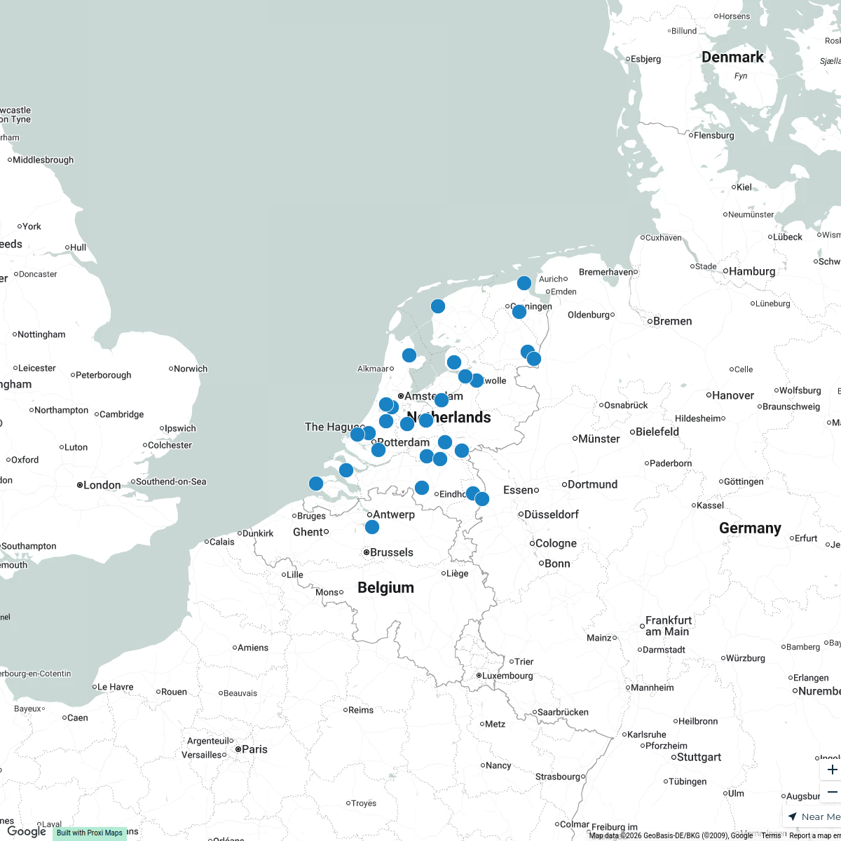
Places in The Netherlands
30 stops · Netherlands Karoliina Moberg's Workspace
abandoned industrial places in Nederland
9 stops · Netherlandssylvain.laube's Workspace

This map was made with Proxi
Have a main street, a market, or a story worth walking? Make your own map in a few minutes.