
Map · 4 places
Cities of Ontario, Canada
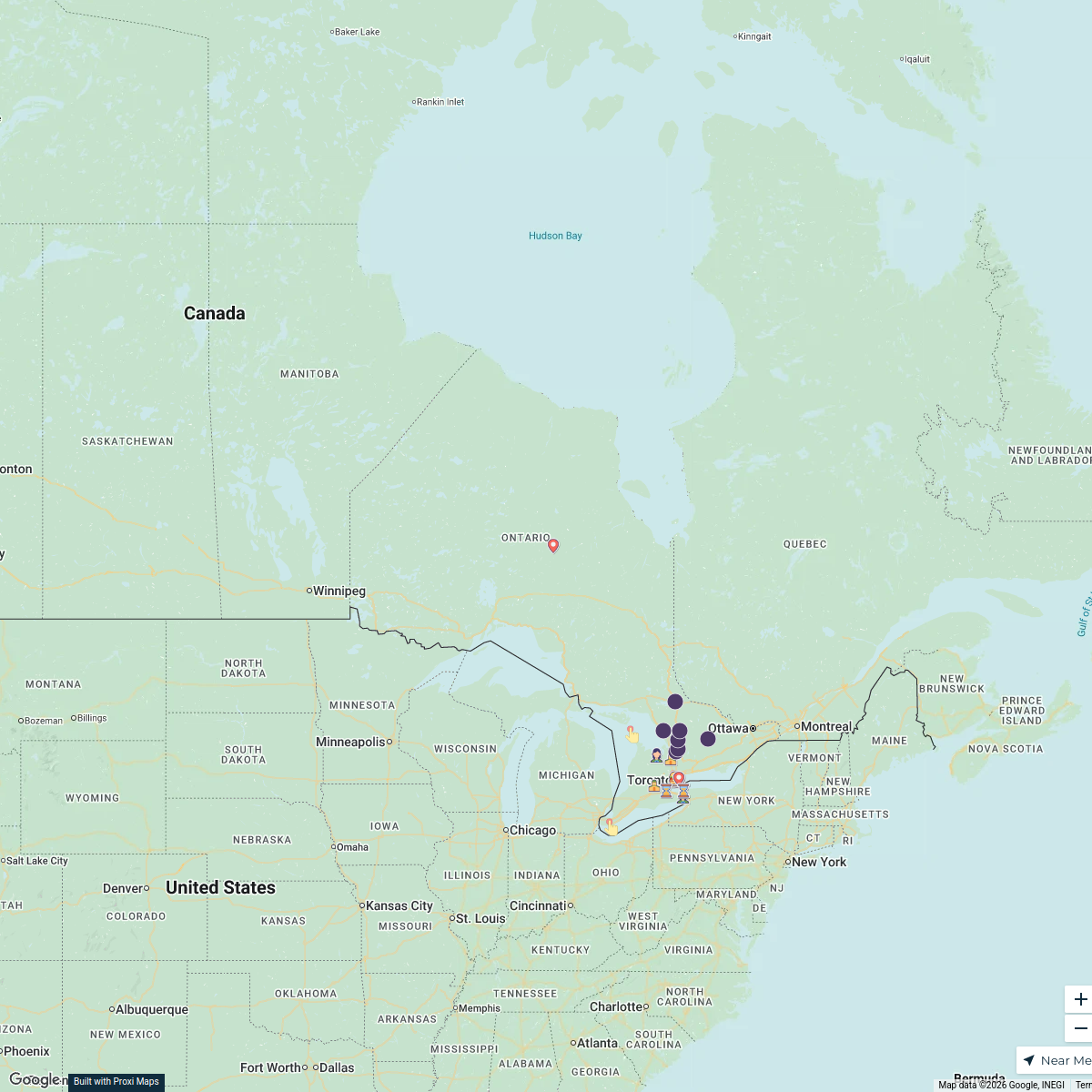
A detailed map showcasing the cities and major towns of Ontario, Canada, focusing on Ottawa as a central location. This map will help illuminate the regions, neighborhoods, and urban areas within Ontario, providing insights into the geography and layout of the province's cities.
Made by Ma. Theresa Jacinta Bravo's WorkspaceUpdated Nov 2024
Places on This Map
4 placesOpen the map to see what’s on it.
Nearby Maps
Discover Ontario
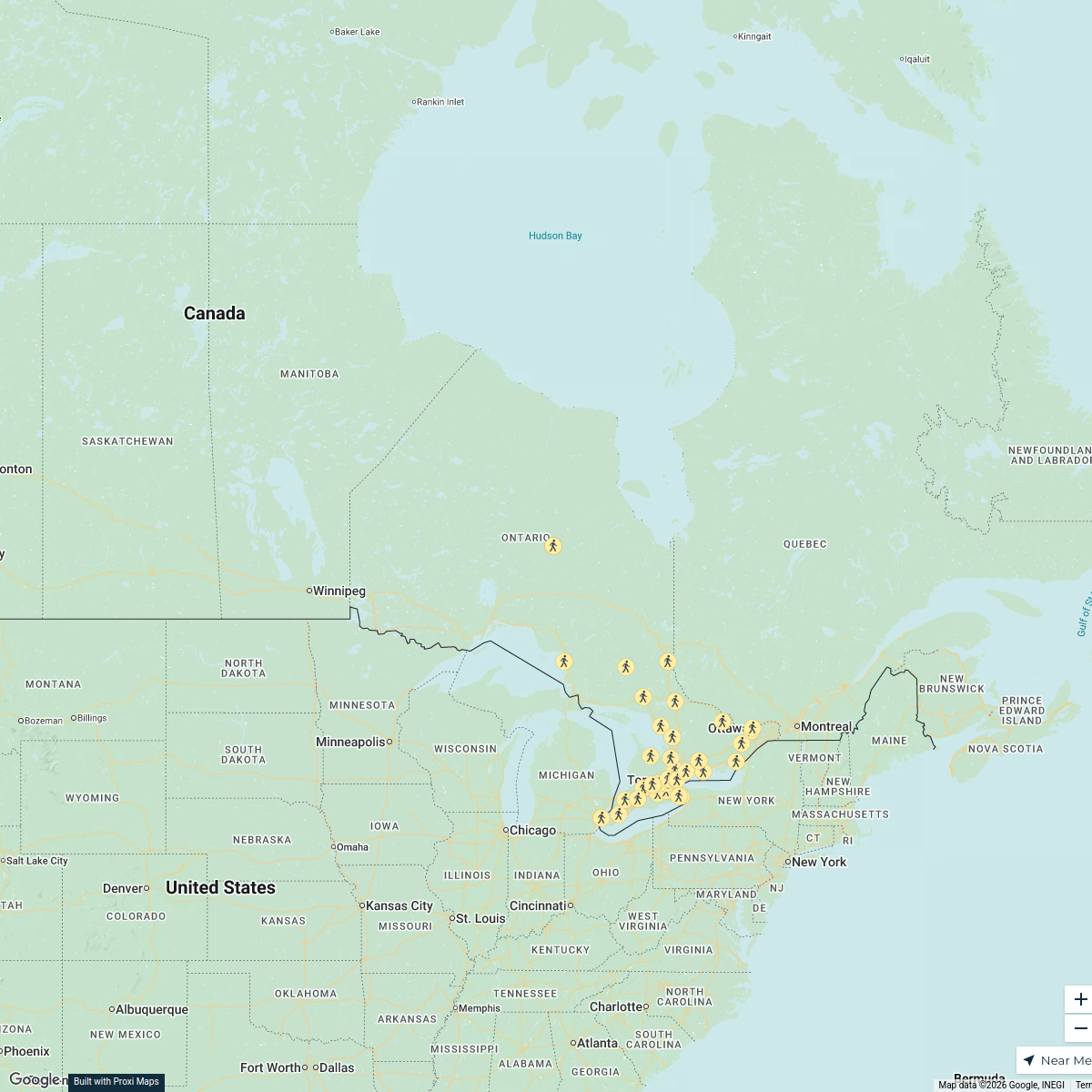
25 stops · Ontario, Canada zhashmat's Workspace
Public Health Units of Ontario
42 stops · Ontario, CanadaCiro LeCompte's WorkspacePrimary Resources in Canada
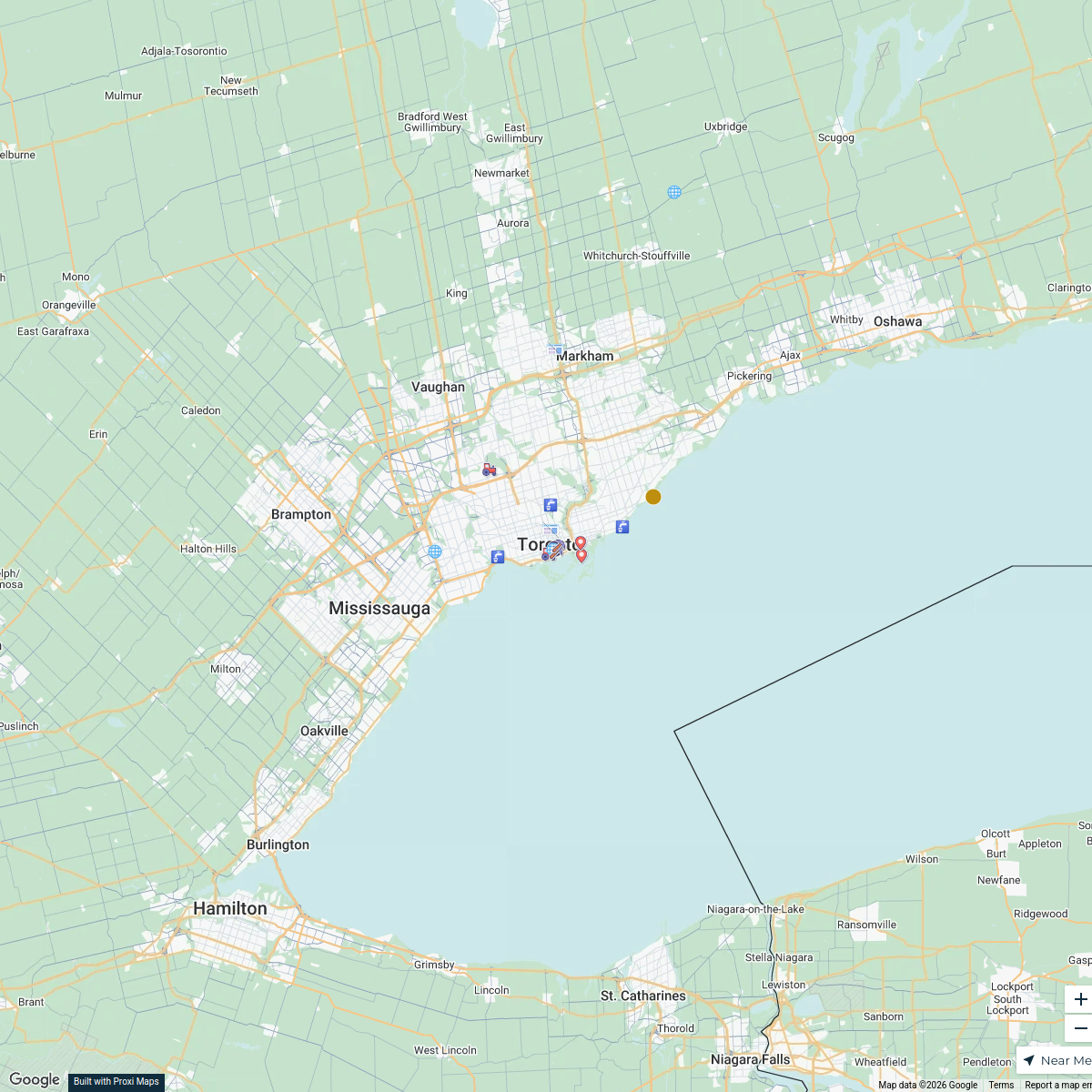
38 stops · Toronto, ON, Canada wschw29's Workspace
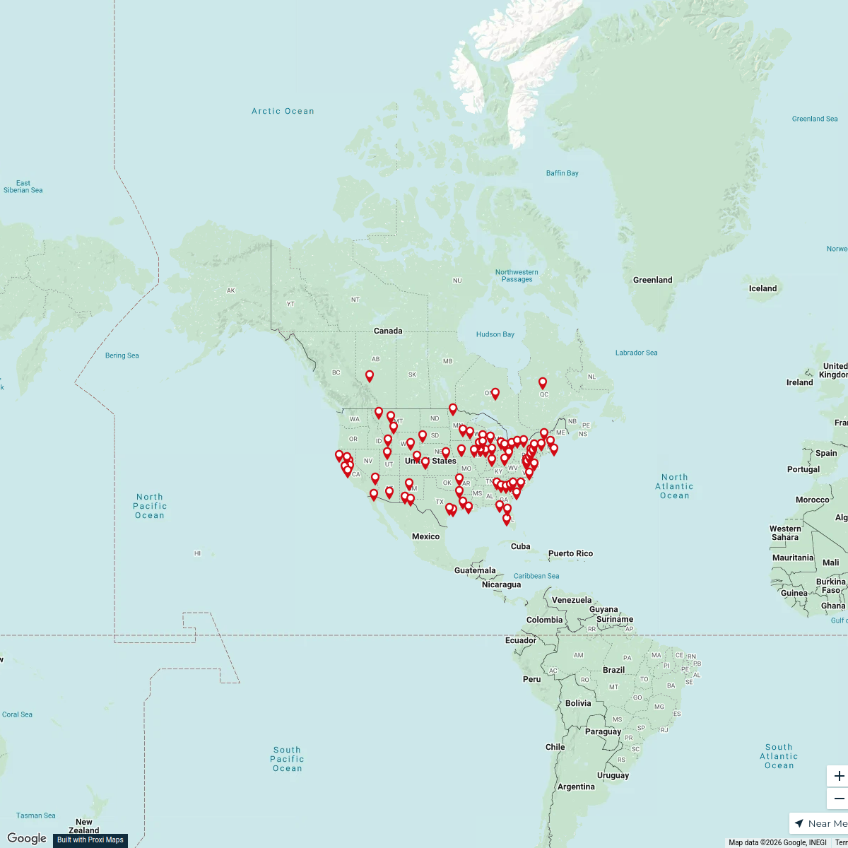
US Ambassadors Locations
75 stopstristen's WorkspaceCustomer Distribution Map - USA
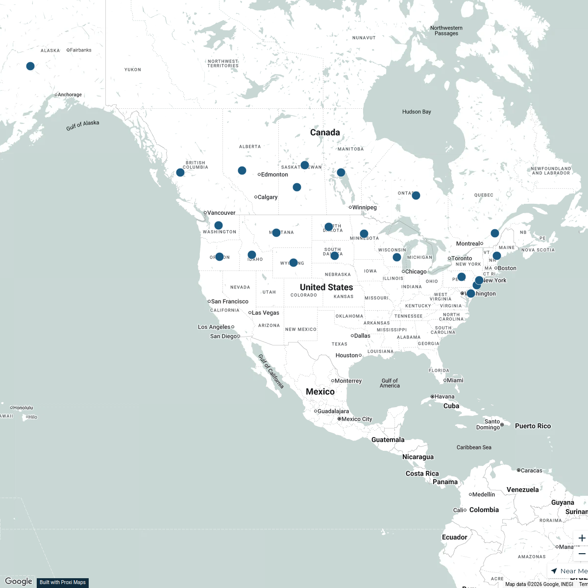
22 stops · USA, United Statesaron's WorkspaceOur Participants
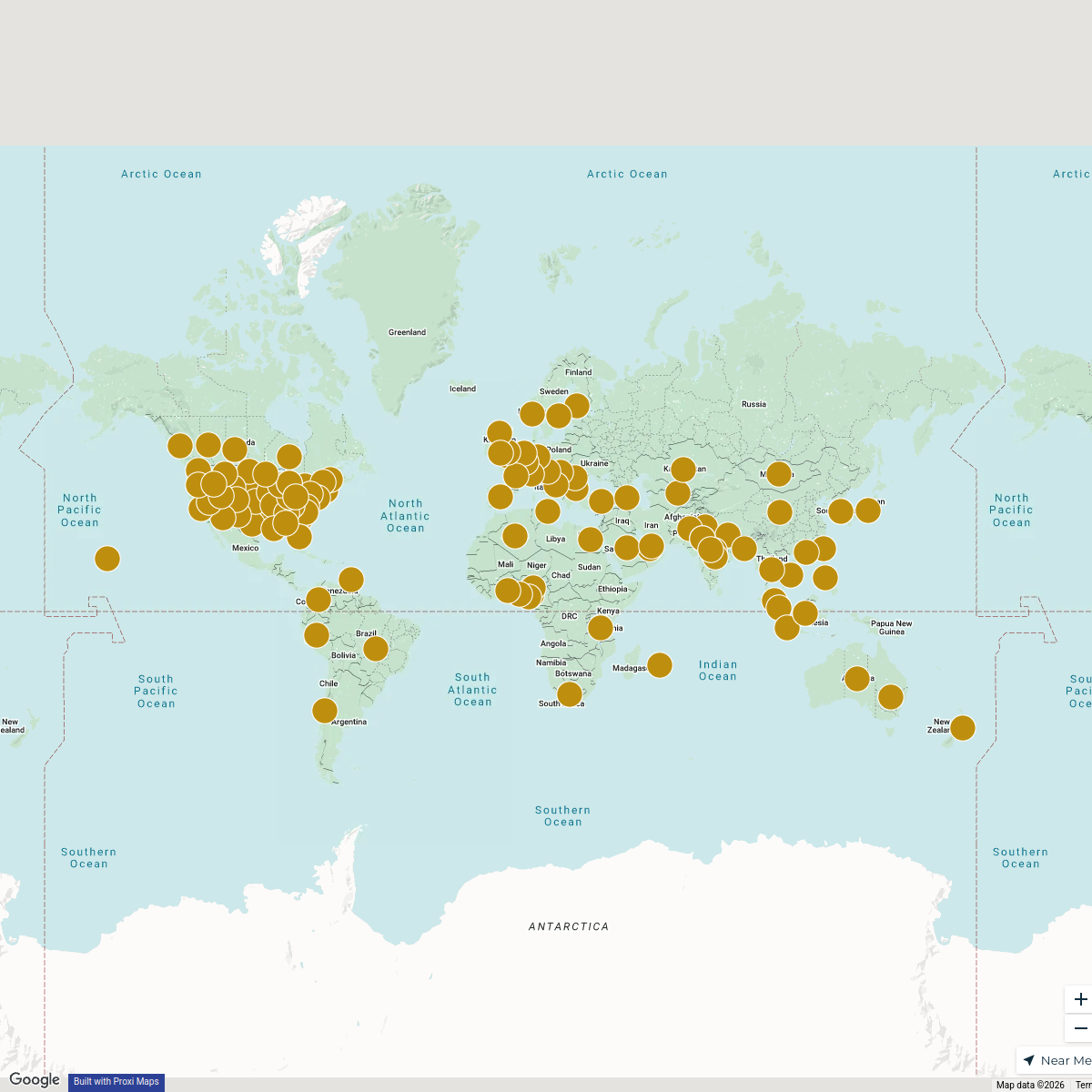
116 stops Future Scholar Foundation's Workspace
This map was made with Proxi
Have a main street, a market, or a story worth walking? Make your own map in a few minutes.