
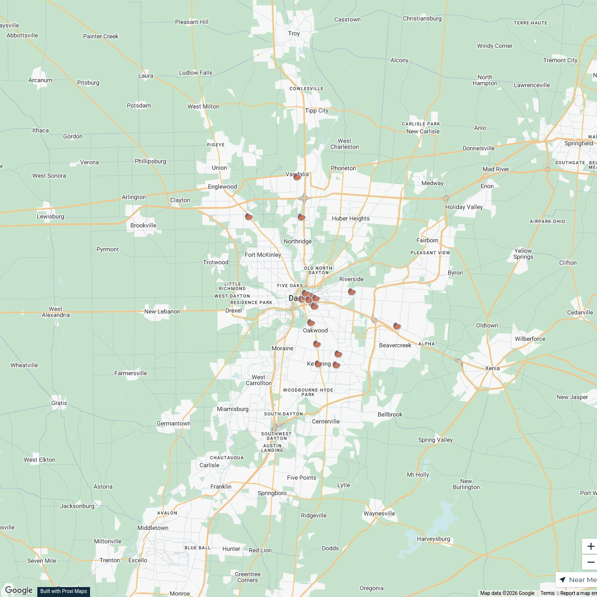
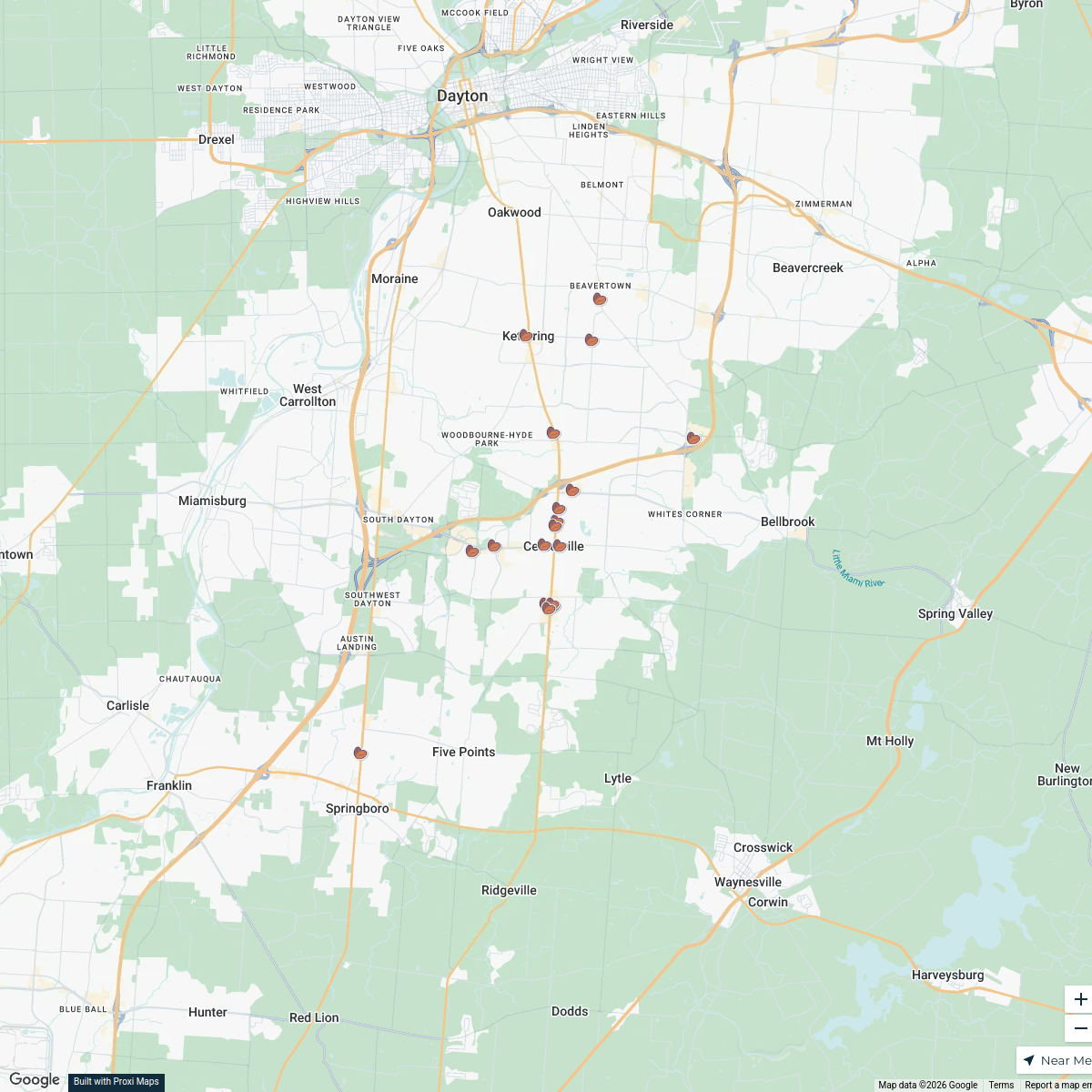
Map · 15 places · New Carlisle, OH
Tipp City High School Area Map
A detailed map focusing on the area around Tipp City High School, highlighting nearby amenities, roads, and landmarks.
Made with ProxiUpdated Oct 2024
- Parks 3
- Restaurants 3
- Schools 3
- Transportation 3
- Libraries 2
- Public Services 1
Places on This Map
15 places · 6 groupsNearby Maps
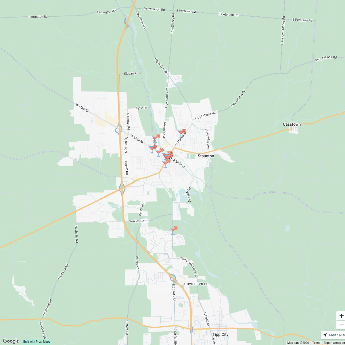
Strawberry Spirits Trail, Troy
15 stops kroetter's Workspace
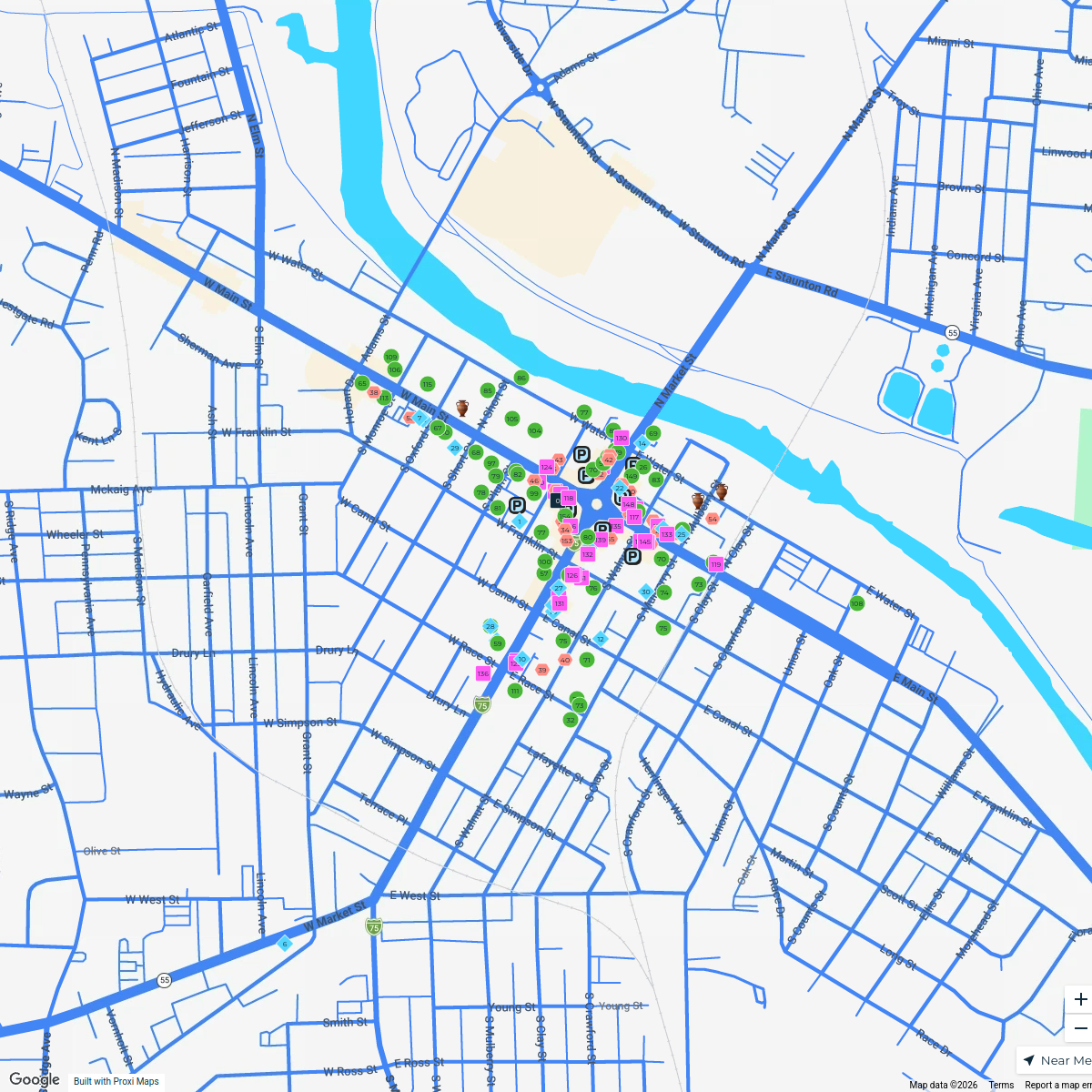
Troy Historic Square
155 stops Troy Main Street
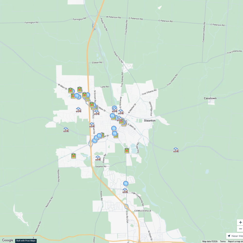
Shop, Dine & Unwind in Troy
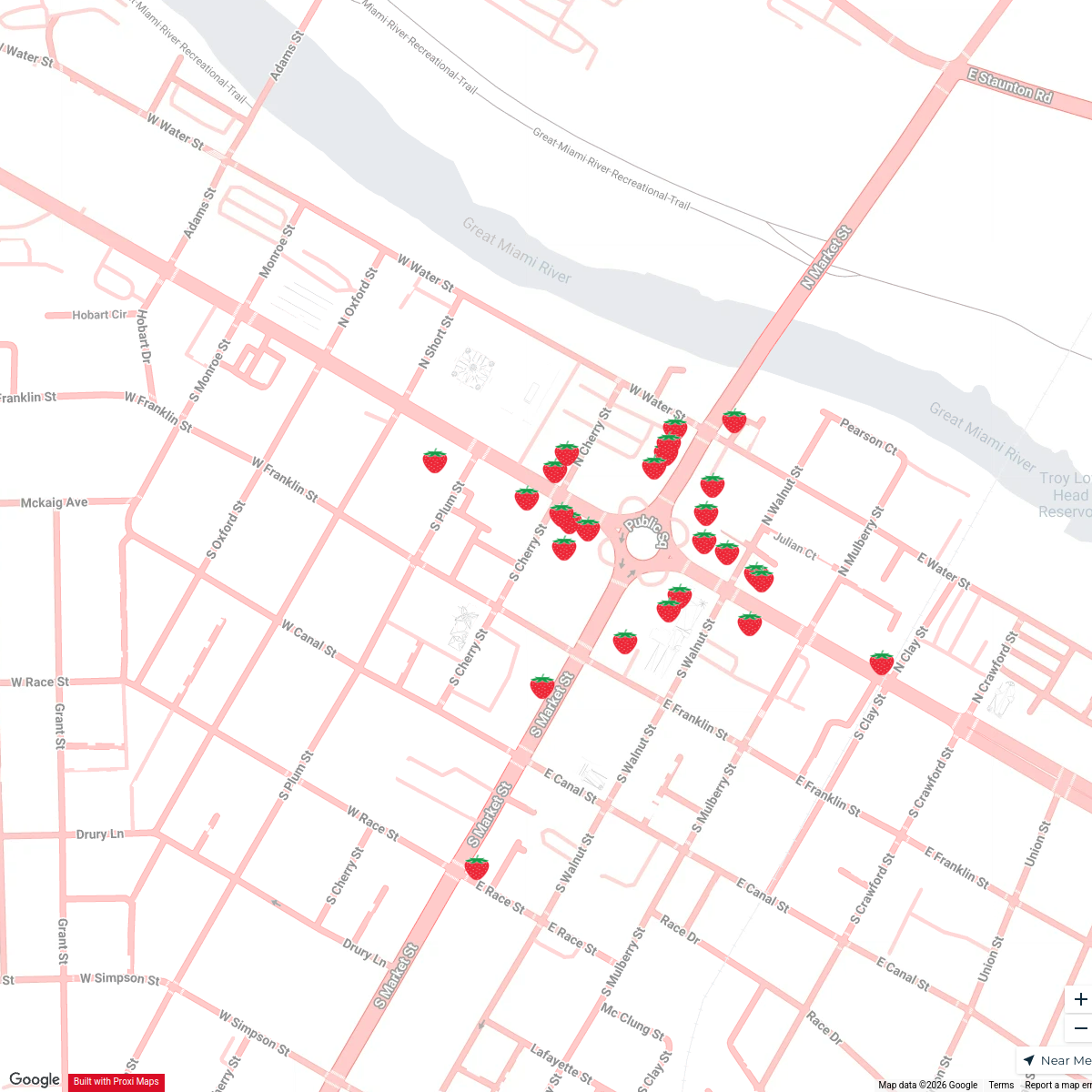
89 stops · Troy, Ohio, USAkroetter's WorkspaceTroy Strawberry Window Decorating Contest
36 stopskroetter's WorkspaceDayton Coffee Shops
18 stops · Dayton, OH, USA khhamrick's Workspace
Centerville Coffee Map
18 stops · Centerville, OH, USAkhhamrick's Workspace
This map was made with Proxi
Have a main street, a market, or a story worth walking? Make your own map in a few minutes.