
Map · 19 places
San Isidro Emergency Map
This map focuses on emergency resources, evacuation routes, hospitals, and shelters in San Isidro, Rodriguez, Rizal, Philippines. It aims to provide critical information for residents in case of natural disasters or emergencies.
Made with ProxiUpdated Oct 2024
- Community Centers 4
- Emergency Shelters 4
- Police Stations 4
- Hospitals 3
- Disaster Relief Services 2
- Fire Stations 2
Places on This Map
19 places · 6 groupsNearby Maps
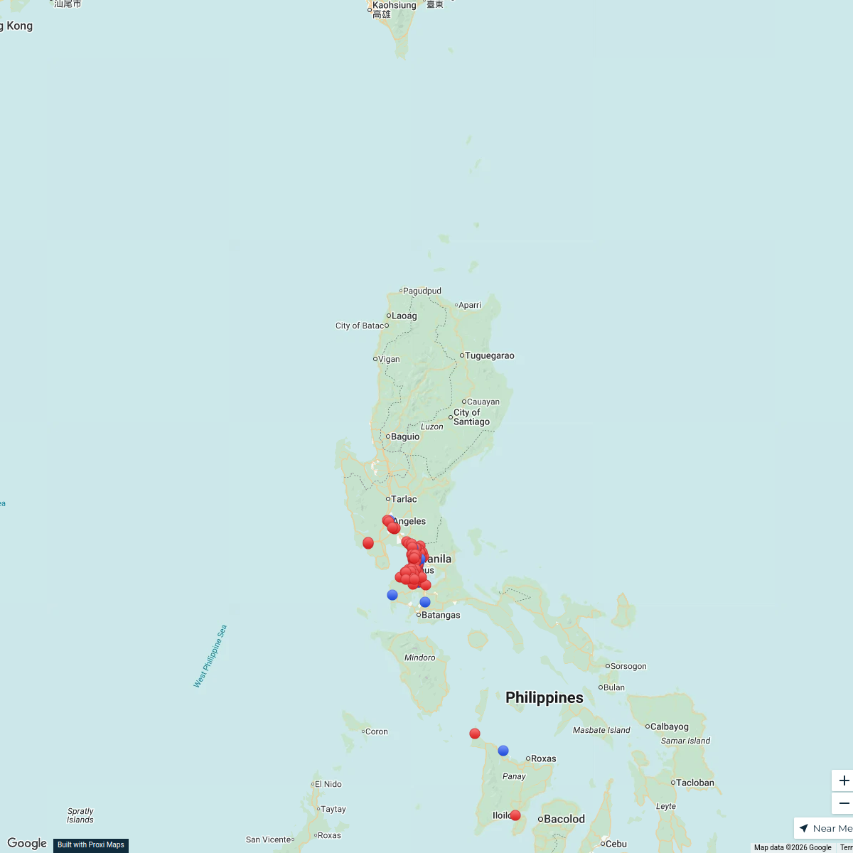
Shakey's Company Store Locations
138 stops · Luzon, Philippines hthidalgo's Workspace
Exploring the Philippines
18 stops · Philippines Kaliyah Williams's Workspace
Orphanage Ministry
106 stopsBob Hansen's WorkspaceSeek Discomfort Adventure Map
974 stops Seek Discomfort's Adventure Map
Sydney Explorer
127 stops · Sydney NSW, Australiabhidetejas03's Workspace✨ World Changers Directory 🌎
51 stops World Changer's Workspace
This map was made with Proxi
Have a main street, a market, or a story worth walking? Make your own map in a few minutes.