
Map · 16 places
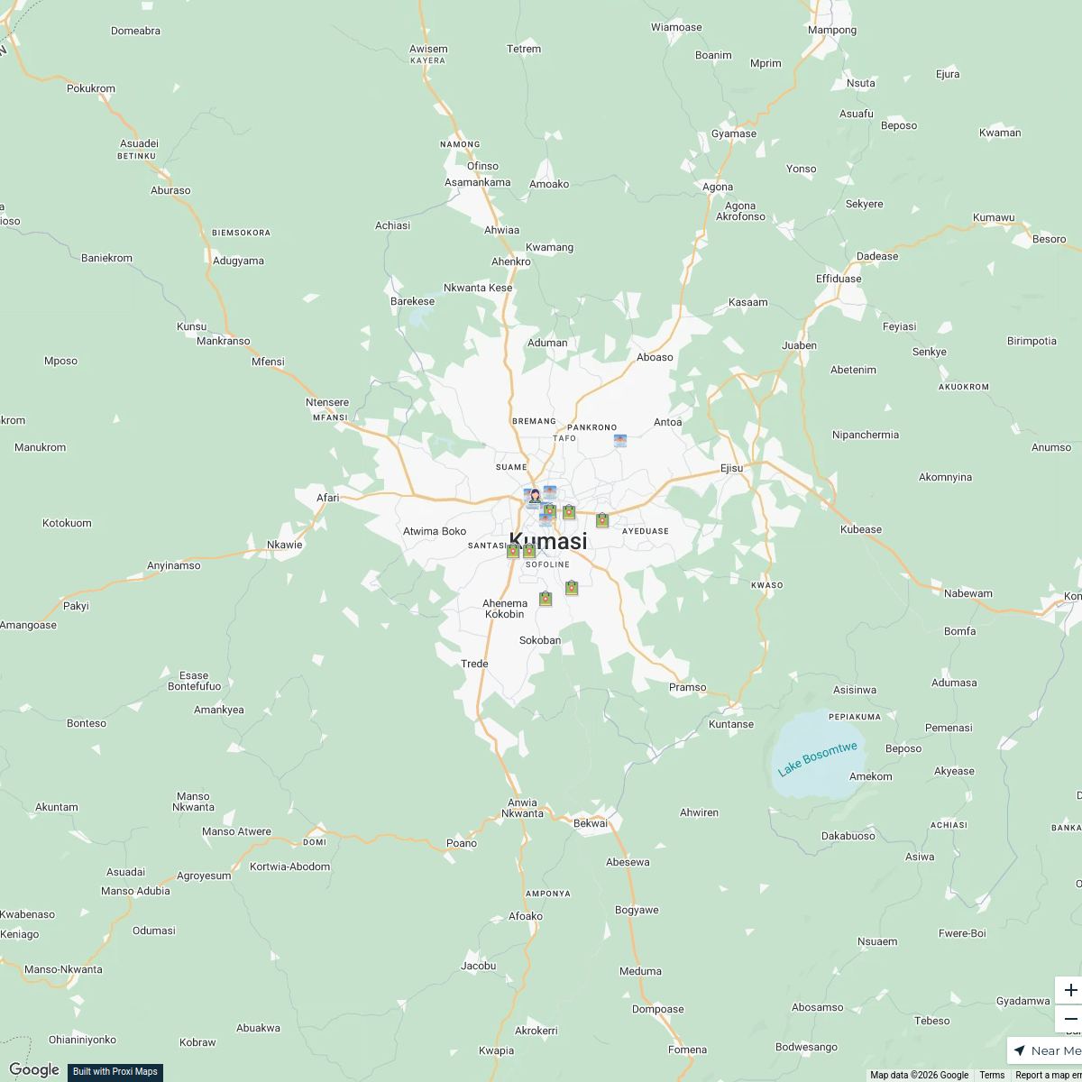
Atwima Nwabiagya South District Map
A detailed district map showcasing key locations, landmarks, and resources in Atwima Nwabiagya South, Ghana.
Made with ProxiUpdated Oct 2024
- Government Buildings 3
- Agriculture 2
- Cultural Sites 2
- Education 2
- Healthcare 2
- Residential Areas 2
- Shopping 2
- Transportation 1
Places on This Map
16 places · 8 groupsNearby Maps
Appiah House in Kumasi
18 stops · Kumasi, Ghana appiah.hayford's Workspace
Cultural Origins in Boston
41 stops hsum's Workspace
Community Map
Barekese Area Map
15 stops · Barekese, GhanaShared by the Proxi community Community Map
Butcheries in Kumasi Metropolis, Ghana near Kumasi Metropolis, Ghana
14 stops · Kumasi Metropolitan, Kumasi, GhanaShared by the Proxi communityCommunity Map
Afrancho Map
6 stops · Q9J7+PGG, Afrancho, Kumasi, GhanaShared by the Proxi communityCommunity Map
Kumasi Methodist Churches Route
1 stop · Kumasi, GhanaShared by the Proxi community
This map was made with Proxi
Have a main street, a market, or a story worth walking? Make your own map in a few minutes.