
Map · 14 places
Teesside Park Rail Map
A detailed rail map focusing on the transportation routes and stations around Teesside Park in Thornaby, Stockton-on-Tees. This map showcases the connectivity of rail networks and provides information for commuters and travelers in the area.
Made with ProxiUpdated Oct 2024
- Rail Freight Location 11
- Port 1
- Power Station 1
- Rail Line 1
Places on This Map
14 places · 4 groupsNearby Maps
Coatham Gardens Halloween Trail
26 stops · Taylor Wimpey Coatham Gardens, Durham Ln., Stockton-on-Tees TS16 0RW, UK Alice Mcguinness's Workspace
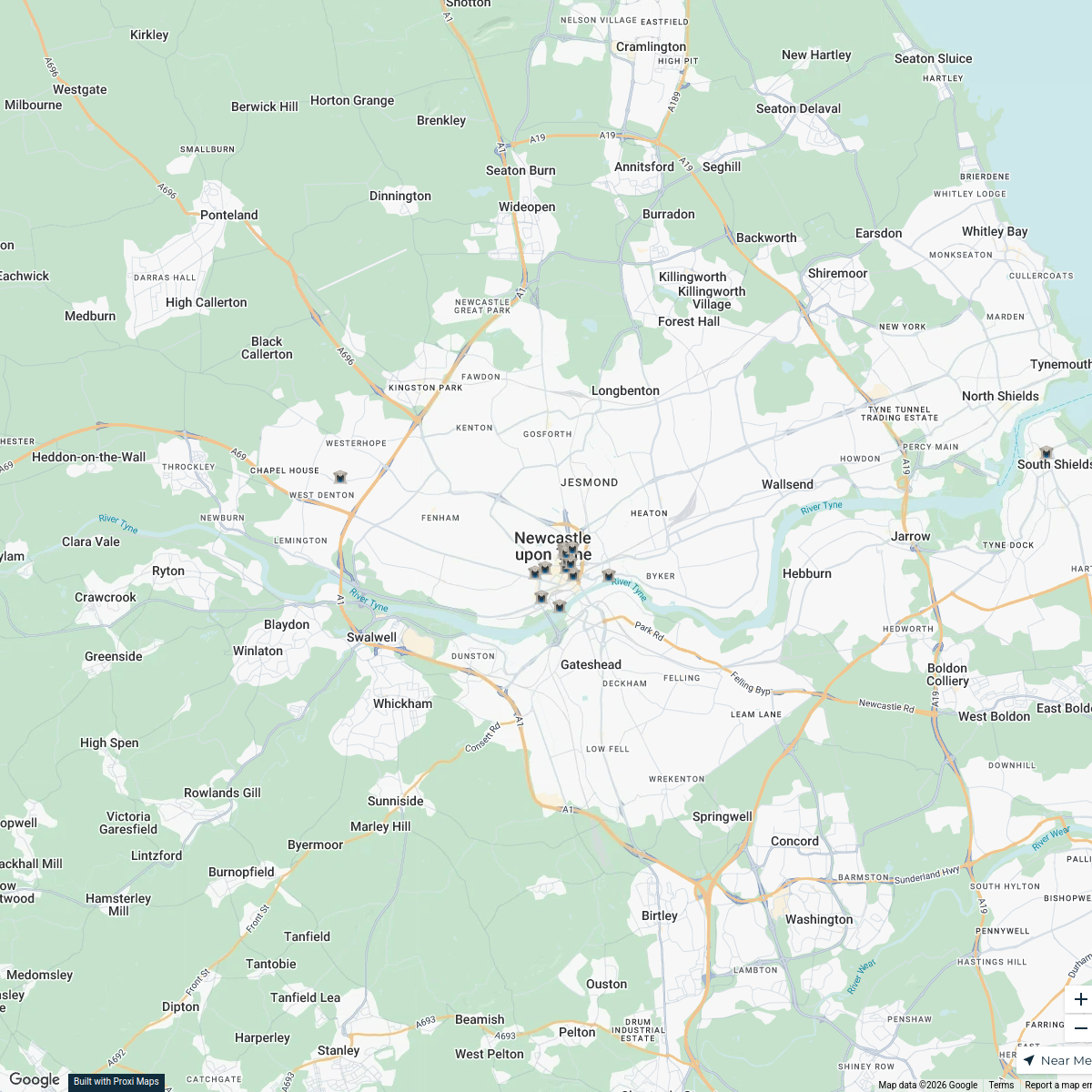
Newcastle Demolished Banks
18 stops · Newcastle upon Tyne, UKSiddhi Agrawal's WorkspaceAction4Care Locations in England
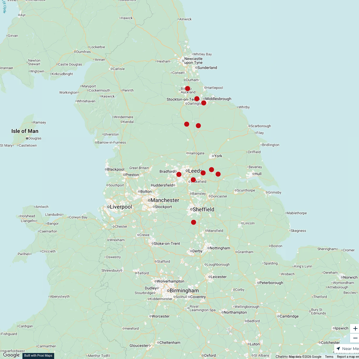
11 stops r.l.spencer's Workspace
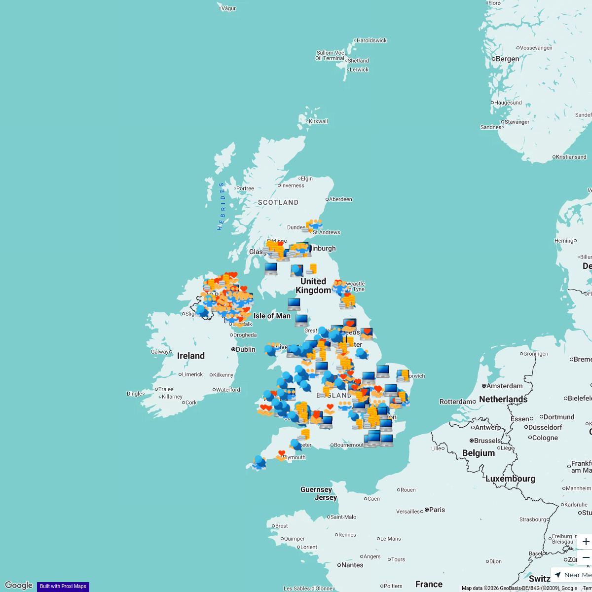
Talk Money Week Events 2025
604 stopsJake Fleming's WorkspaceUnited Kingdom Overview Map
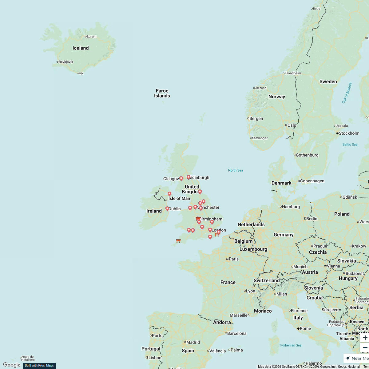
22 stops · United Kingdom, Verenigd KoninkrijkFemke De Bruin's Workspace
Outside's where it's at this summer
464 stops Hubbub Nature Network

This map was made with Proxi
Have a main street, a market, or a story worth walking? Make your own map in a few minutes.