
Map · 16 places
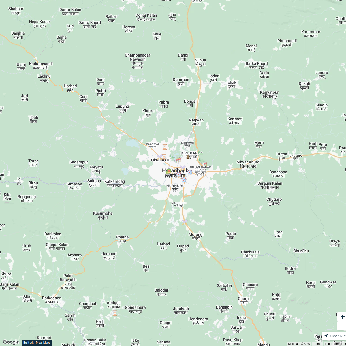
Vegetation Health in Hazaribagh
A map showcasing vegetation health and density around Hazaribagh based on NDVI values.
Made with ProxiUpdated Oct 2024
- City 4
- Village 4
- Town 3
- Hill Station 2
- Lake 1
- Mountain 1
- Natural Reserve 1
Places on This Map
16 places · 7 groupsNearby Maps
Hazaribagh Exploration Map
22 stops · Hazaribagh, Jharkhand, India Chiranjiv Bhattacharjee's Workspace
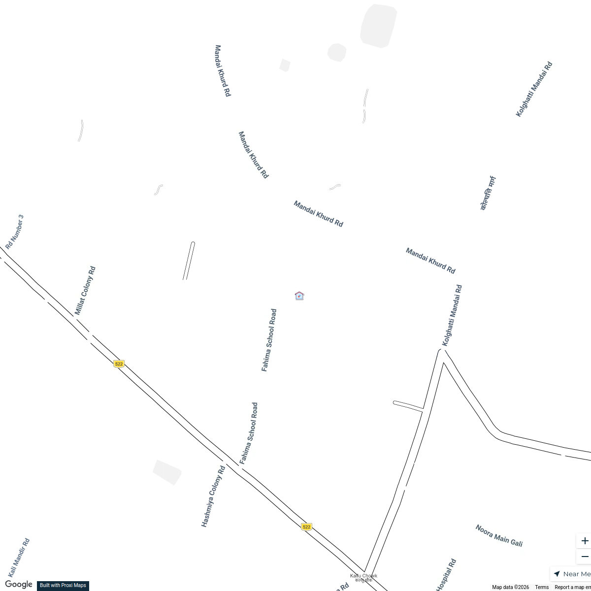
Fahima Academy and Surroundings
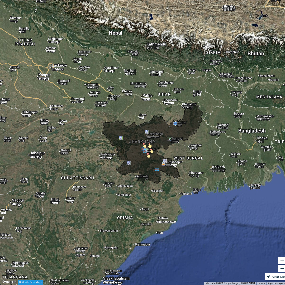
5 stops · Fahima Academy, 285X+2PP, Alfalah Colony, Pugmil, Hazaribagh, Marai Kalan, JharkChiranjiv Bhattacharjee's WorkspaceTourism Highlights in Jharkhand
21 stops · Jharkhand, India Yuvraj Thakur's Workspace
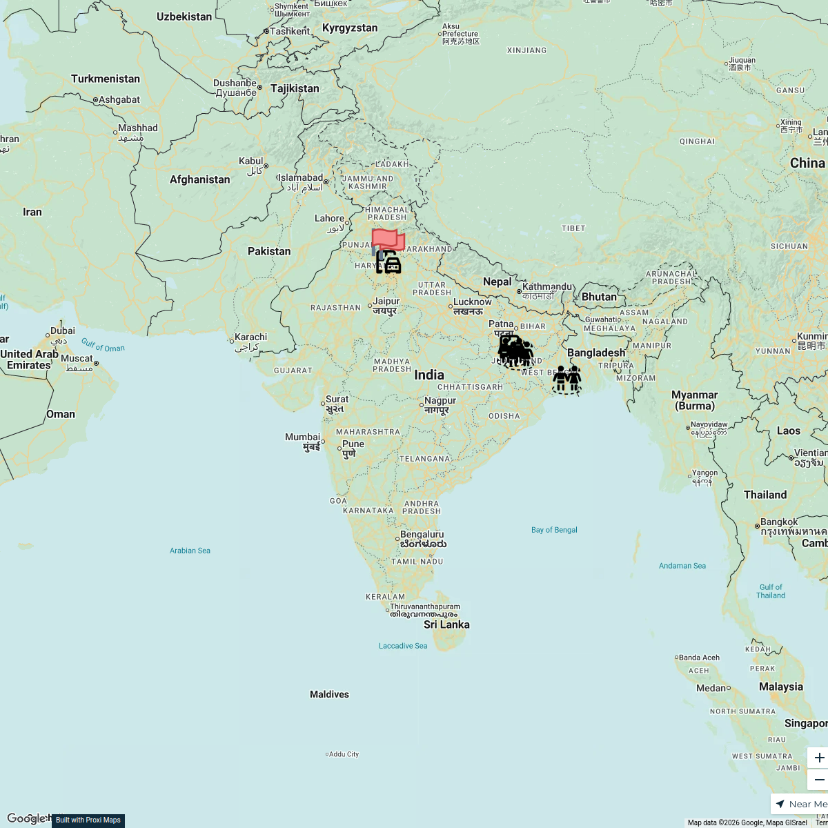
Trafficking Route from West Bengal to Haryana
7 stops · IndiaEMPOWER PEOPLE's WorkspacePin Your Heart
425 stops · Europe Voluson Performance
Community Map
Hazaribag Map
20 stops · KumharToli, Hazaribagh, Jharkhand, IndiaShared by the Proxi community

This map was made with Proxi
Have a main street, a market, or a story worth walking? Make your own map in a few minutes.