
Map · 16 places
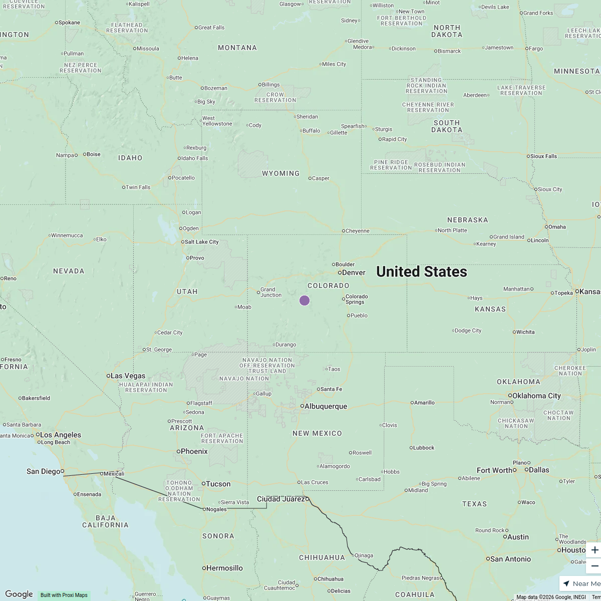
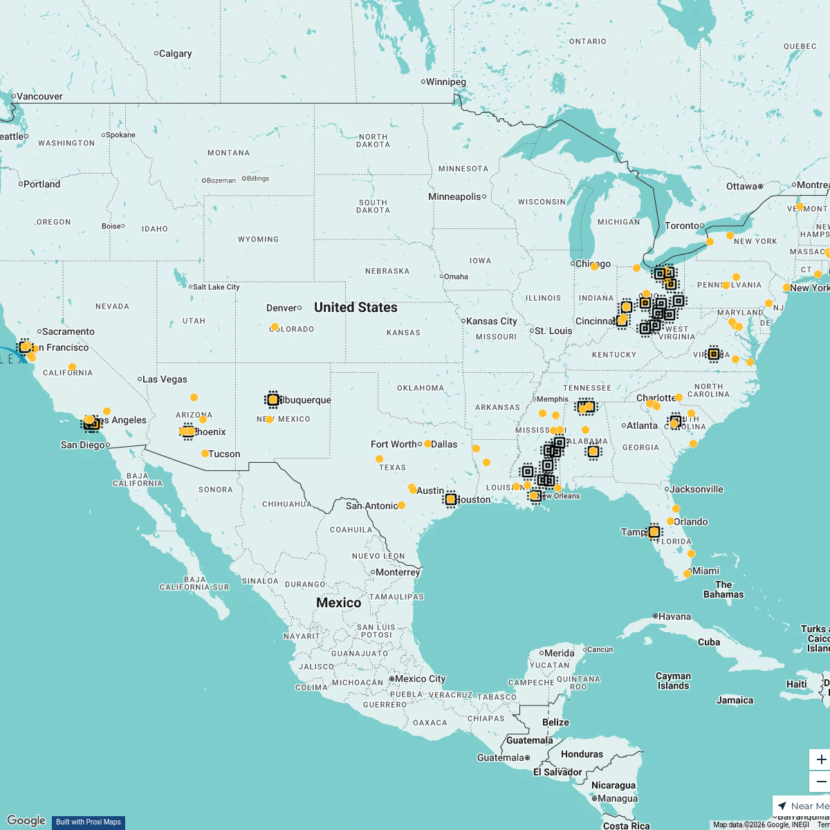
Stevens Transport - Lactalis Footprint Map
An overview of Stevens Transport's logistics and distribution network related to Lactalis throughout the United States. This map highlights key operational areas, facilities, and routes critical for the transportation of Lactalis products.
Made with ProxiUpdated Oct 2024
Places on This Map
16 placesOpen the map to see what’s on it.
Nearby Maps
Shipyards in the USA
15 stops · United States Joshua DiPietro's Workspace
U.S. Catholic Shrines
10 stops · USA, United States yj627's Workspace
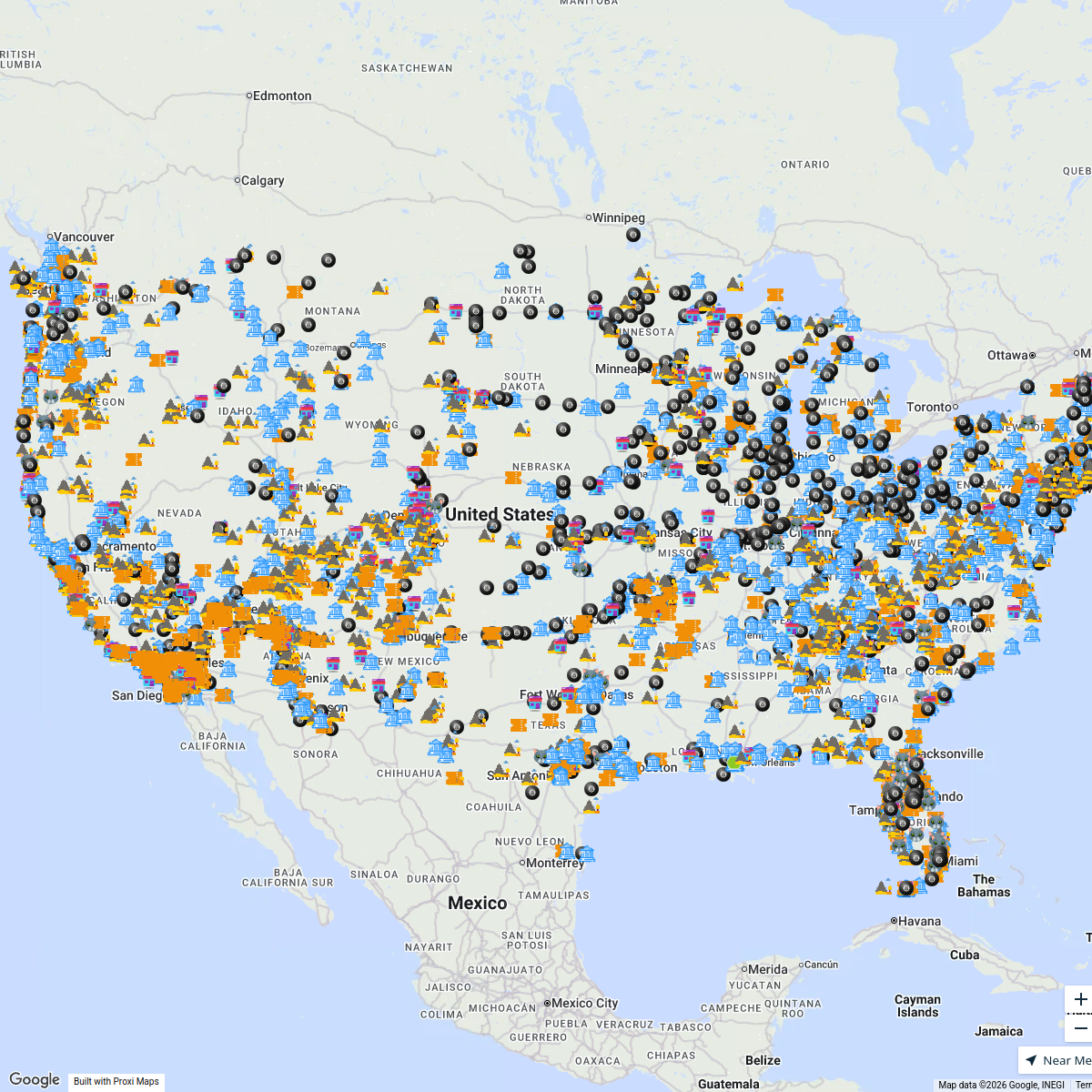
After tapping CLICK TO INTERACT ...
4359 stops Bucketlist Navigator
Element Environmental
1 stopinfo's WorkspaceFlexFactor Program Directory
177 stops NextFlex EWD
CML Project Map
1301 stops · United States Andrea Lucero 's Workspace
This map was made with Proxi
Have a main street, a market, or a story worth walking? Make your own map in a few minutes.