
Map · 21 places
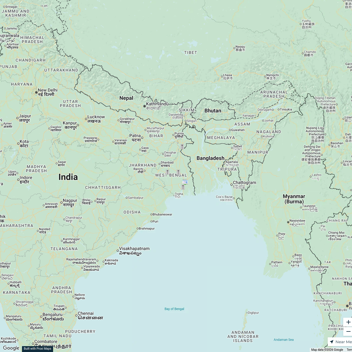
Kolkata Emission Monitoring Map
A comprehensive map focusing on real-time emission data in Kolkata, West Bengal, India. This map aims to provide insights into air quality, pollution hotspots, and emissions sources within the city, helping citizens and authorities to track and manage environmental health.
Made with ProxiUpdated Oct 2024
- Environmental Monitoring 7
- Public Health 4
- Urban Areas 4
- Emission Sources 2
- Air Quality 1
- Pollution Hotspots 1
Places on This Map
21 places · 6 groupsNearby Maps
Thalassaemia Control Units in West Bengal
9 stops · West Bengal, India Samik Samaddar's Workspace
West Bengal Tour
3 stops · Bengaluru, Karnataka, India maniarjunan8's Workspace
Exploring Seville: A Journey Inspired by Magellan
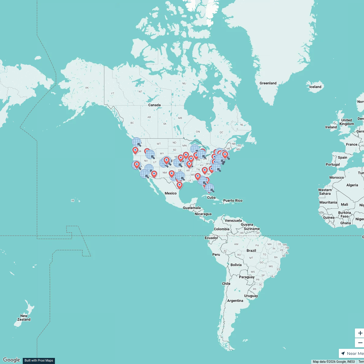
14 stopsSasha Bonilla's WorkspaceNational AI Literacy Events 2025
92 stops Erin Mote's Workspace
Community Map
Serampore near Kolkata
7 stops · Kolkata, West Bengal, IndiaShared by the Proxi communityCommunity Map
Landmarks near Kolkata
8 stops · Kolkata, West Bengal, IndiaShared by the Proxi community
This map was made with Proxi
Have a main street, a market, or a story worth walking? Make your own map in a few minutes.