
Map · 12 places
Metro Manila Physical Profile
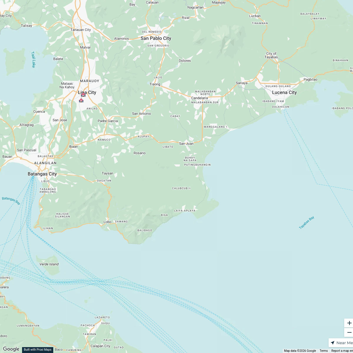
A comprehensive map showcasing the physical geography and urban layout of Metro Manila, highlighting major landforms, bodies of water, and green spaces within the metropolitan area.
Made with ProxiUpdated Oct 2024
- Landforms 9
- Infrastructure 1
- Residential Areas 1
- Urban Development Zones 1
Places on This Map
12 places · 4 groupsNearby Maps
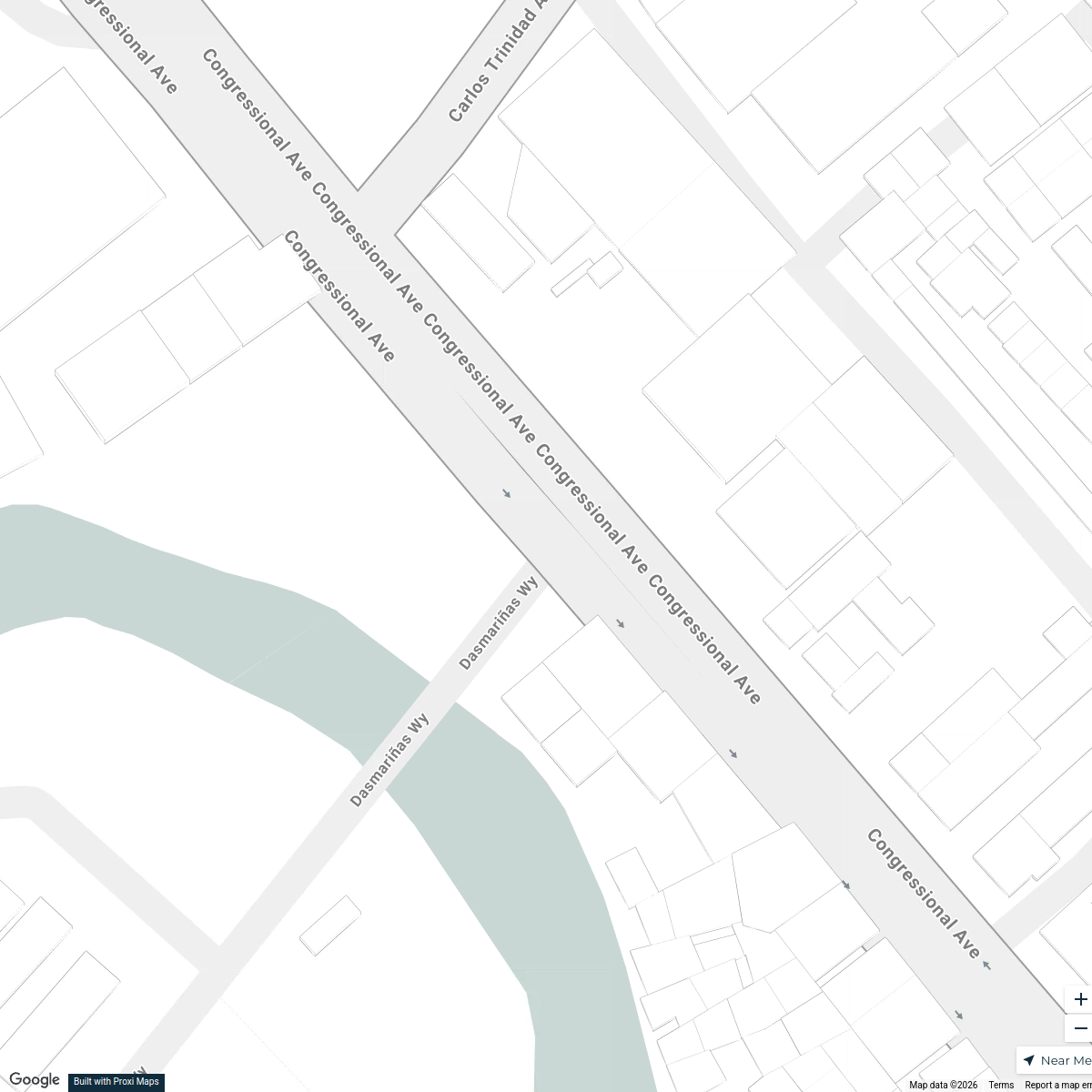
Dasmariñas Wedding Venues
4 stops · Dasmariñas, Cavite, Philippines Cristine Venus's Workspace
Lipa City Crime Map
26 stops Jelamie Valencia's Workspace
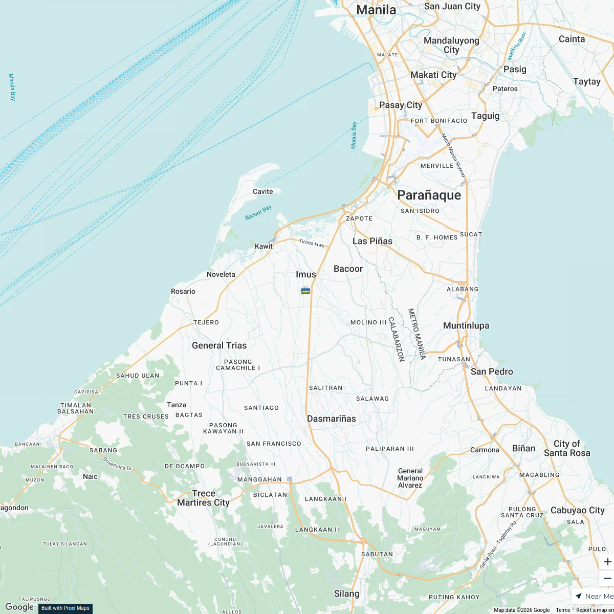
Imus, Cavite Exploration Map
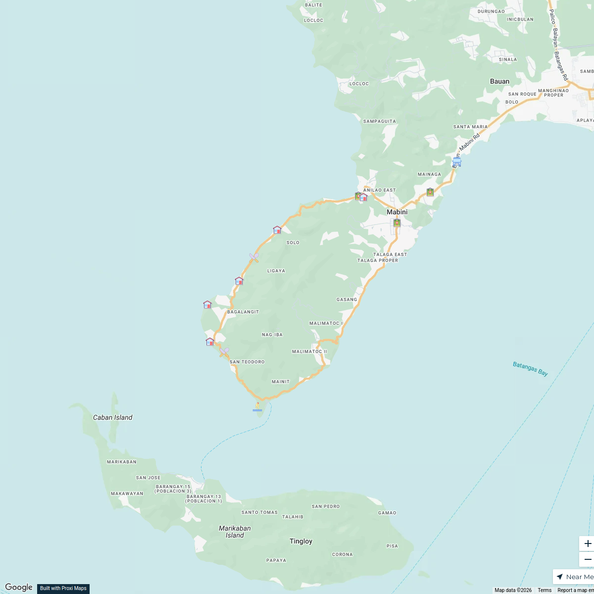
1 stopAudrey Ann Catapang's WorkspaceMabini, Batangas Exploration Map
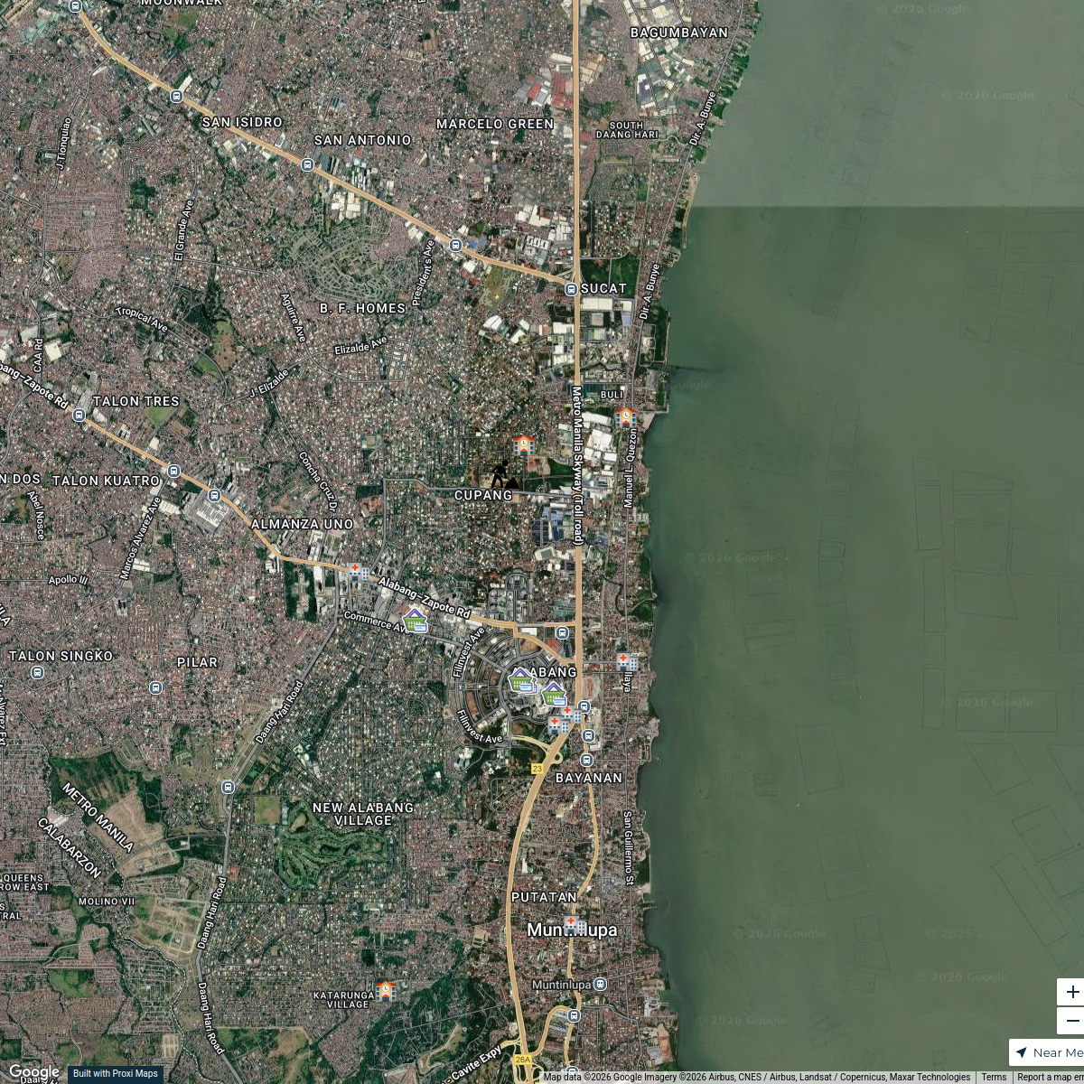
16 stops · Mabini, Batangas, PhilippinesSir Tim's WorkspaceMuntinlupa Poblacion Map
14 stopsspectre's WorkspaceSan Juan Batangas Wedding Venues
3 stops · San Juan, Batangas, PhilippinesRoy Semilla's Workspace

This map was made with Proxi
Have a main street, a market, or a story worth walking? Make your own map in a few minutes.